How do weather forecasts work well enough to trust with lives? The answer runs through weather balloons lifting off at the same hour worldwide, satellites scanning from 22,300 miles up, supercomputers solving physics across millions of grid cells, and a radar. Our weather satellites guide shows how orbital instruments feed this system. A cold front sweeps across the Plains. A hurricane churns toward the Gulf Coast. Somewhere in a NOAA operations center, a meteorologist stares at a screen full of color-coded maps and makes a call that will move tens of thousands of people out of harm’s way. That call starts with the same question every morning: how do weather forecasts work well enough to trust with lives?
How Weather Forecasts Work: The Everyday Process
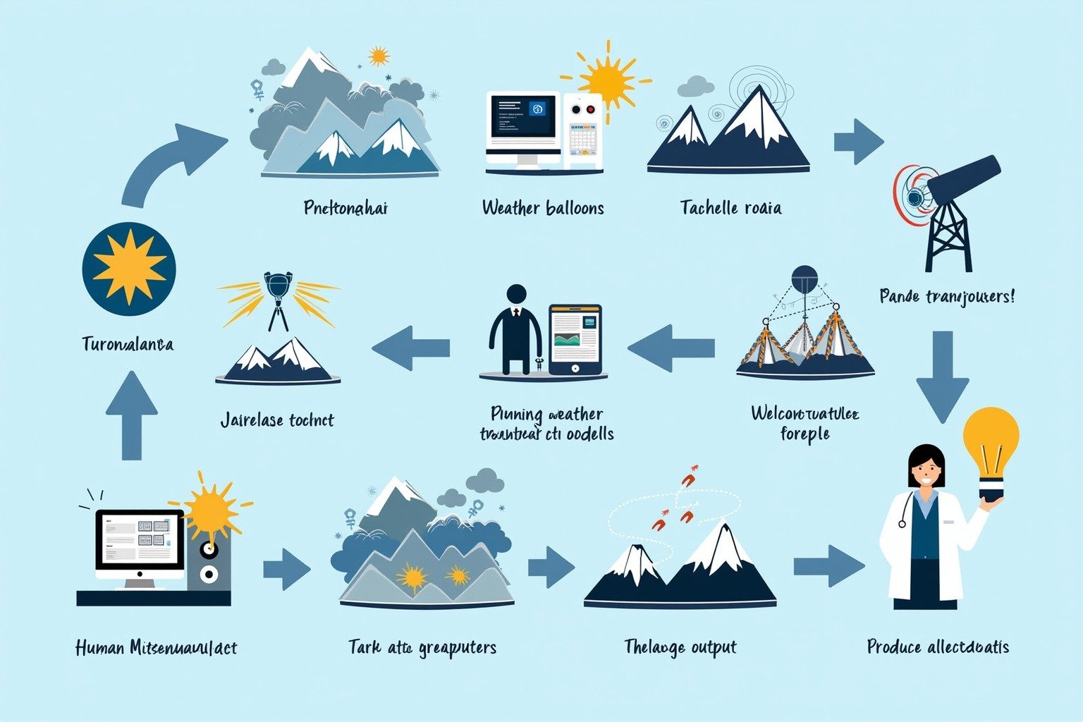
Every forecast you see begins with a quiet global ritual. Twice a day, at hundreds of sites across the planet, technicians release weather balloons that rise to 100,000 feet, radioing back temperature data, humidity readings, and wind measurements as they climb. At the same moment, weather satellites 22,300 miles above the equator photograph cloud movements, while Doppler radar stations send pulses into the sky to measure where rain is falling and how fast wind is spinning.
This flood of observations pours into a central data system. NOAA operates six key tools to collect it: Doppler radar, radiosondes carried by weather balloons, geostationary and polar-orbiting satellites, ocean buoys, automated surface observation stations, and the supercomputers that process it all. The raw numbers are then put through a step called data assimilation, which is how meteorologists predict weather with enough consistency to save lives.
The final step is deceptively simple: a human forecaster reads the model output, compares it against real-world observations from the last few hours, and adjusts. A storm that the GFS model places 40 miles east of town might get nudged back west based on what a local radar station is showing right now. That human judgment is why the forecast on your phone is different from the one that went into the model alone.
Why It Works: The Science Inside Weather Prediction Models
Behind every hourly forecast sits one of the quietest revolutions in modern science: numerical weather prediction. An NWP model divides the entire atmosphere into millions of three-dimensional grid cells, some as fine as three to nine kilometers across. Inside each cell, the model solves the same physics equations that govern fluid motion, heat transfer, barometric pressure, and phase changes of water. It does this forward in time, in tiny increments, until it has predicted the state of the atmosphere hours or days ahead.
According to the National Weather Service, four major models anchor global forecasting. The American GFS covers the entire planet. The European ECMWF is generally considered the most accurate. The NAM zooms in on North America, and the HRRR provides high-resolution rapid updates every hour for the continental United States. NOAA runs these models on twin supercomputers, each capable of 12.1 petaflops, according to the NWS supercomputing program. That is more than 12 quadrillion calculations every second.
The accuracy numbers are remarkable. A typical five-day forecast today is correct roughly 90 percent of the time. A seven-day forecast hits about 80 percent. A ten-day outlook falls to roughly 50 percent. That ten-day wall is not a failure of computing. It is a consequence of what Edward Lorenz discovered in the 1960s: the atmosphere behaves as a chaotic system. A measurement error too small to notice at one moment can balloon into a completely wrong forecast about two weeks later. Scientists call it the butterfly effect, and it sets a hard theoretical limit on how far ahead weather forecasting technology can reach.
How It Affects People
Weather forecasts touch nearly every corner of daily life, often before most people notice.
For farmers, a 48-hour precipitation forecast determines when to plant, spray, or harvest. Learn how rain forms to understand what makes those forecasts possible. For airlines and travelers, wind shear and storm forecasts reroute flights, ground fleets, and keep passengers safe. Hurricane forecasting is where these systems face their ultimate test. A cross-country flight might burn an extra thousand pounds of fuel simply by routing around a thunderstorm cell that was spotted six hours earlier.
Emergency managers depend on forecasts at the sharpest edge. Hurricane evacuation orders, tornado warnings, flash flood alerts, and extreme heat advisories all begin with model output interpreted by a human forecaster. The difference between a seven-minute tornado warning and a twelve-minute one is often the difference between a family reaching shelter and a family caught in the open. Coastal communities from Texas to Florida rely on the ECMWF and GFS hurricane track models to decide whether to board up and leave.
The economic stakes are enormous. A single day of inaccurate forecasting can disrupt supply chains, delay construction projects, and close schools. Insurance companies use forecast data to pre-position adjusters and estimate claims before the damage even arrives. When a forecast is right, millions of dollars stay protected. When it is wrong, the costs ripple outward.
Why It Matters Now
Weather forecasting is changing faster than at any point since the first satellite was launched. Artificial intelligence models like Google DeepMind’s GraphCast and Huawei’s Pangu-Weather are now producing forecasts that rival or surpass traditional NWP models on certain metrics. These AI systems learn patterns from decades of historical weather data and can generate a ten-day global forecast in minutes rather than hours.
At the same time, the demand for accurate forecasts is growing. More people live in coastal cities. Insurance markets are straining under the cost of repeated disasters. Farmers in drought-prone regions need every hour of lead time they can get. NOAA continues upgrading its supercomputing capacity, while the ECMWF pushes toward higher-resolution models that capture thunderstorms and mountain winds that today’s grids still miss.
The basic question of how weather forecasts work now carries higher stakes than it did a generation ago. A 2020s seven-day forecast is as accurate as a three-day forecast was in the 1980s. That jump represents decades of investment in better satellites, faster computers, and sharper physics. The next decade promises a similar leap, if the funding and institutional attention hold.
What We Can Learn
The forecast on your phone is not magic. It is the end product of weather balloons lifting off in Ghana and Kansas at the same appointed hour, of satellites scanning cloud tops from 22,300 miles up, of supercomputers running the laws of physics across millions of grid cells, and of a meteorologist somewhere comparing a model output to a radar screen and choosing to trust one over the other.
That whole chain runs on a principle worth remembering: uncertainty shrinks when we measure more and share what we learn. A better observation network in the Pacific improves a forecast in Chicago. A faster model in Europe refines a hurricane track for Miami. This is how weather forecasts work at their best: a global collaboration where every nation’s data strengthens every other nation’s predictions. The atmosphere does not respect borders, and neither does the science that predicts it.