Reading Time: 9 minutes | Category: Weather Explained
How do hurricanes form? Warm ocean water, a disturbance, thunderstorms, and low wind shear combine to create a spinning heat engine that can stretch 400 miles across with 157-mile-per-hour winds. For 40 million Americans in hurricane-prone coastal counties, understanding how do hurricanes form is survival knowledge. This article breaks down every stage, from a ripple of thunderstorms off the African coast to a Category 5 storm reshaping a coastline.
What Is a Hurricane
A hurricane is a giant heat engine powered by warm ocean water. Air warmed by the sea rises, creating a pocket of low pressure at the surface. Surrounding air rushes in to fill the gap, then warms and rises as well.
As this moist air climbs and cools, water vapor condenses into towering thunderclouds, releasing heat that fuels even more rising air. The rotation of the Earth bends the inward-rushing winds into a spiral. Given enough warm water and calm upper-level winds, the system intensifies into a hurricane.
The scientific term for this entire family of storms is a tropical cyclone. The same phenomenon goes by different names depending on where it forms: hurricane in the Atlantic and eastern Pacific, typhoon in the western Pacific, and cyclone in the Indian Ocean and South Pacific.
The hurricane vs typhoon vs cyclone distinction is purely geographical. The physics is identical. That is one reason the question of how do hurricanes form is really the question of how tropical cyclones form, anywhere on Earth.
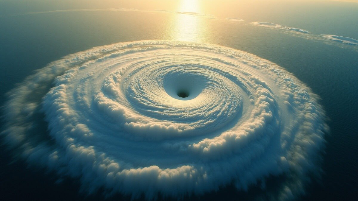
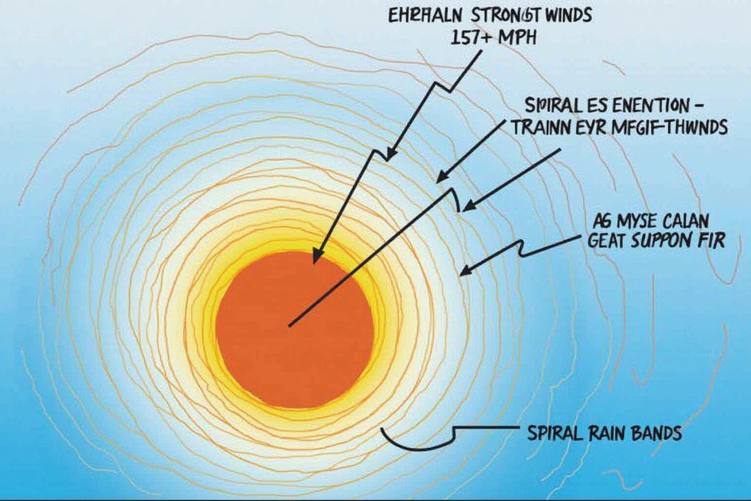
Inside a mature hurricane, the anatomy is precise. At the center sits the eye, an eerie pocket of sinking air where skies can be blue and winds nearly calm. Surrounding it is the eyewall, the ring of the storm’s most violent thunderstorms and strongest winds.
Spiral rain bands radiate outward, each one a squall line carrying heavy rain and gusty winds. Hurricane hunters flying into the eye report stillness and sunlight, then re-enter the eyewall’s chaos: a wall of cloud and wind no aircraft can ignore.
How Do Hurricanes Form: The Full Hurricane Formation Process
How do hurricanes form? It starts with four hurricane ingredients, each as essential as flour in a recipe. Remove one, and the storm never forms.
1. Warm ocean water. The sea surface must reach at least 80 degrees Fahrenheit (26.5 degrees Celsius), and that warmth must extend to a depth of roughly 50 meters. According to the NOAA Ocean Service, this is the minimum fuel requirement: a shallow warm layer evaporates too quickly and cools the surface, starving the storm.
The tropical Atlantic, Caribbean, and Gulf of Mexico reach these temperatures reliably during summer and early fall. That is why the Atlantic hurricane season peaks from June through November.
2. A pre-existing weather disturbance. In the Atlantic, the most common trigger is a tropical wave: a kink in the atmosphere that ripples westward off the coast of Africa like a wrinkle moving across a bedsheet. This disturbance creates clusters of thunderstorms, the seed from which a hurricane can grow.
3. Thunderstorm activity. The tropical wave alone is not enough. It must generate sustained clusters of thunderstorms. As those thunderstorms release heat into the upper atmosphere, they lower the surface pressure beneath them, pulling in more air. To understand what makes these storms so loud and powerful, read our guide on what makes thunder so loud.
4. Low wind shear. Wind shear is the difference in wind speed and direction at different heights. Strong wind shear tears a developing storm apart, tilting its vertical structure and blowing the thunderclouds away from the low-pressure center. Think of trying to build a tower of blocks while someone shakes the table. Without calm, consistent upper-level winds, the tower collapses.
When all four hurricane ingredients are present, the tropical cyclone formation stages begin. Warm air rises from the heated ocean, creating low pressure. Surrounding air rushes in and warms. Then it rises too.
As this moist air climbs, it cools and its water vapor condenses into liquid droplets, forming thunderclouds. That condensation releases latent heat: the same principle that makes the outside of a cold drink can sweat on a humid day.
In the hurricane, this latent heat warms the surrounding air, making it rise faster. That pulls in even more moist air at the surface. The cycle feeds itself, a feedback loop that can intensify a storm from a disorganized cluster of thunderstorms into a tightly wound hurricane in under 48 hours.
The rotation of the Earth, known as the Coriolis effect, bends the inward-rushing winds. In the Northern Hemisphere, that deflection is to the right, creating the counterclockwise spin visible in every satellite image of an Atlantic hurricane. In the Southern Hemisphere, the deflection is to the left, and tropical cyclones rotate clockwise.
For a much deeper explanation of why hurricanes spin the way they do, read our guide on why hurricanes spin counterclockwise. For the science behind how forecasters predict these storms, see How Do Weather Forecasts Work?
This spin also explains why hurricanes never form right at the equator. According to NOAA and NASA, tropical cyclones do not develop within about 5 degrees of the equator, roughly 300 miles. In that narrow band, the Coriolis effect is too weak to generate the spin a hurricane needs to organize.
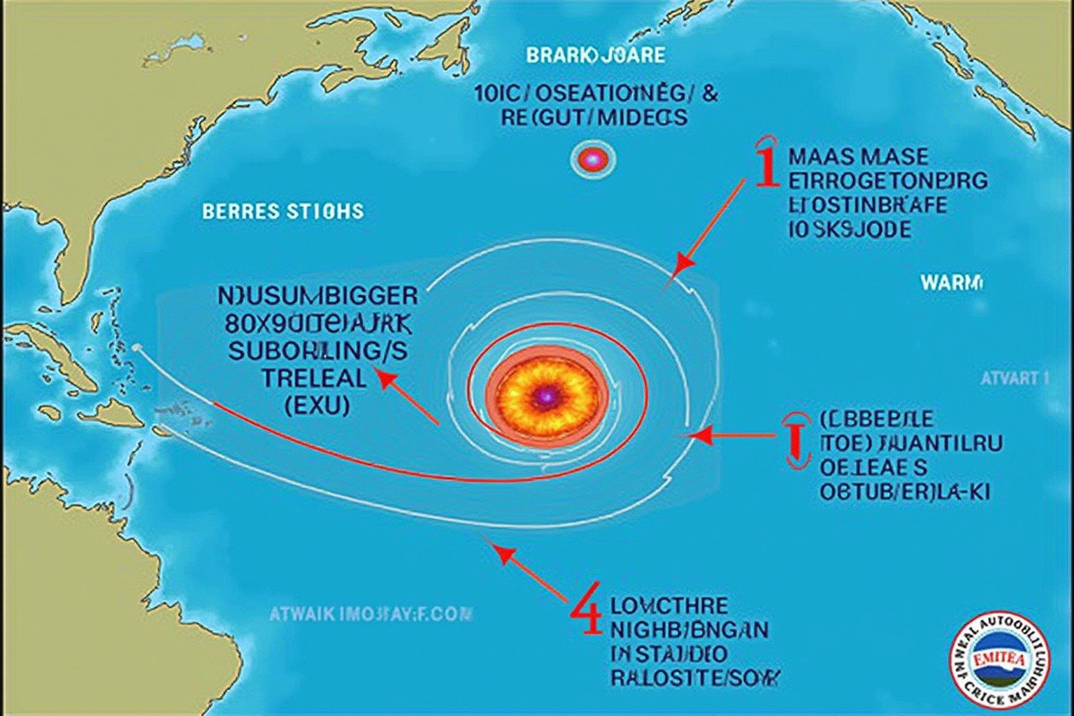
How Hurricanes Gain Strength and Build Their Eye
| Category 1 | 74-95 mph | Some damage |
| Category 2 | 96-110 mph | Extensive damage |
| Category 3 | 111-129 mph | Devastating damage |
| Category 4 | 130-156 mph | Catastrophic damage |
| Category 5 | 157+ mph | Total roof and wall failure |
As the feedback loop intensifies, the storm organizes into a tighter, faster structure. At tropical storm strength, defined by NASA Space Place as sustained winds reaching 39 miles per hour (63 kilometers per hour), the system receives a name.
At 74 miles per hour (119 kilometers per hour), it becomes a hurricane. From there, the Saffir-Simpson scale measures its growth:
Category 1: 74-95 mph, 4-5 feet, Some roof and tree damage
Category 2: 96-110 mph, 6-8 feet, Extensive roof and siding damage
Category 3: 111-129 mph, 9-12 feet, Devastating major structural damage
Category 4: 130-156 mph, 13-18 feet, Catastrophic most trees snapped or uprooted
Category 5: 157+ mph, 19+ feet, Catastrophic total roof and wall failure
Satellites track every stage of this progression. The GOES satellites, positioned 22,300 miles above Earth, beam real-time imagery of developing storms to forecasters worldwide. A storm that starts as a faint swirl of cloud over the open Atlantic is monitored continuously from space long before it threatens land.
The hurricane eye formation is one of the most remarkable features of a mature storm. The eye appears when the rotating winds become so intense that centrifugal force pushes the strongest winds outward into a ring, leaving the center relatively calm.
Air in the eye sinks downward, warming as it descends, which clears the clouds. The eyewall surrounding it contains the storm’s fastest winds and heaviest rain. A hurricane’s eye can range from 2 miles to over 120 miles across.
The Energy Math: Why Hurricanes Are So Powerful
The numbers behind a hurricane
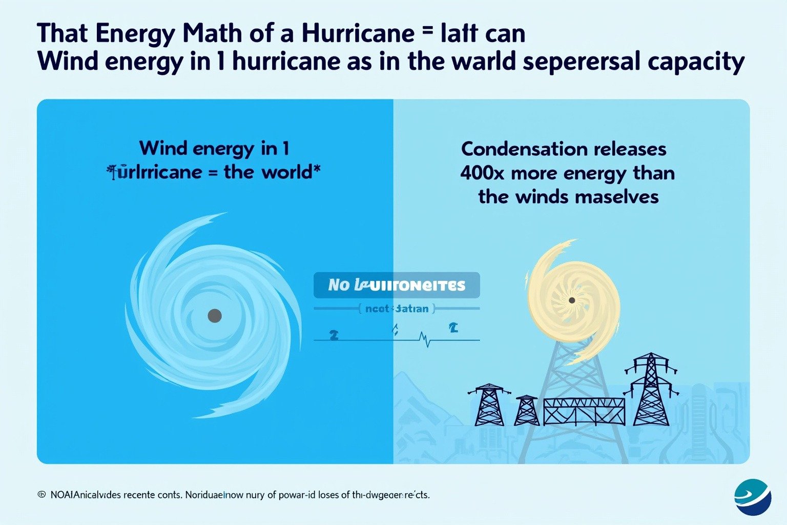
According to the’s energy are almost too large to feel real. According to the NOAA Ocean Service, the wind energy in a single hurricane, the kinetic energy of all that moving air, equals roughly half the entire world’s electrical generating capacity. But that is only a small fraction of the total.
The condensation of water vapor into clouds and rain within a hurricane releases about 400 times more energy than the winds alone. A single hurricane dissipates in a day what the world’s power plants produce in months. When you ask how do hurricanes form, you are really asking how nature concentrates that much energy into one spinning storm.
What causes hurricanes to achieve this staggering scale is the same thing that limits them: they are powered by warm ocean water. As long as the storm stays over water above 80 degrees Fahrenheit, the engine runs. When a hurricane makes landfall and is cut off from its fuel source, it begins to weaken.
But weakening does not mean harmless. Storm surge, the wall of ocean water pushed ashore by hurricane winds, is often the deadliest hazard. Hurricane Katrina’s 28-foot storm surge devastated the Mississippi coast.
Inland flooding from heavy rain can kill hundreds of miles from where the storm made landfall. A hurricane is a coastal threat, a riverine threat, and an inland threat all at once.
How Hurricanes Affect People
Every year, hurricanes reshape the lives of millions. The human impact spans nearly every dimension of daily life.
Health systems buckle under the strain of mass evacuations and disrupted medical supply chains. Homes are lost to wind and storm surge. Inland flooding compounds the destruction: recovery is measured in years, not weeks.
Farmers watch crops flattened overnight. Coastal fishing communities lose their boats and dock infrastructure. The economic toll ripples outward: insurance premiums rise, supply chains break, and local economies in tourism-dependent regions can take a decade to recover from a single direct hit.
Mental health burdens, including anxiety, displacement trauma, and the prolonged stress of rebuilding, persist long after the floodwaters recede. Schools close, sometimes for months, disrupting education for an entire generation of children in the hardest-hit areas.
The 40 million Americans living in hurricane-prone coastal counties navigate this reality every season. For them, understanding how do hurricanes form is survival knowledge. It tells them when to board up windows, when to evacuate, and when the ocean they live beside is about to turn hostile.
Why It Matters Now
The Atlantic hurricane season runs from June 1 through November 30, and the question of what causes hurricanes to become stronger has taken on new urgency. Warmer oceans provide more fuel. A warmer atmosphere holds more moisture, which means heavier rainfall when a storm makes landfall.
According to the National Hurricane Center and NOAA GFDL, the scientific consensus is not that climate change produces more hurricanes overall. It is that the hurricanes that do form are more likely to reach major hurricane status and to drop more rain.
The hurricane ingredients have not changed: warm water, a disturbance, thunderstorms, low wind shear. The conditions that make those ingredients more potent are intensifying. Understanding how do hurricanes form has never been more relevant for coastal communities, emergency planners, and anyone who wants to understand the weather systems that define our warming planet. For a deeper look at how a shifting climate is reshaping severe weather, see our coverage of tornado science and the shifting Tornado Alley.
What We Can Learn
Every hurricane season brings the same lesson: knowledge is the first line of defense. Understanding how hurricanes form, what fuels them, and why they behave the way they do transforms a terrifying weather event into a system that can be predicted and prepared for.
The satellite networks watching from 22,300 miles up, the hurricane hunter aircraft flying into eyewalls, and the forecast models running on supercomputers all trace their effectiveness back to the same physics described above. That is how do hurricanes form: not as mysteries, but as heat engines governed by measurable forces.
When we understand the engine, we can anticipate its moves. That anticipation saves lives.