What the Tornado Alley Map Really Shows
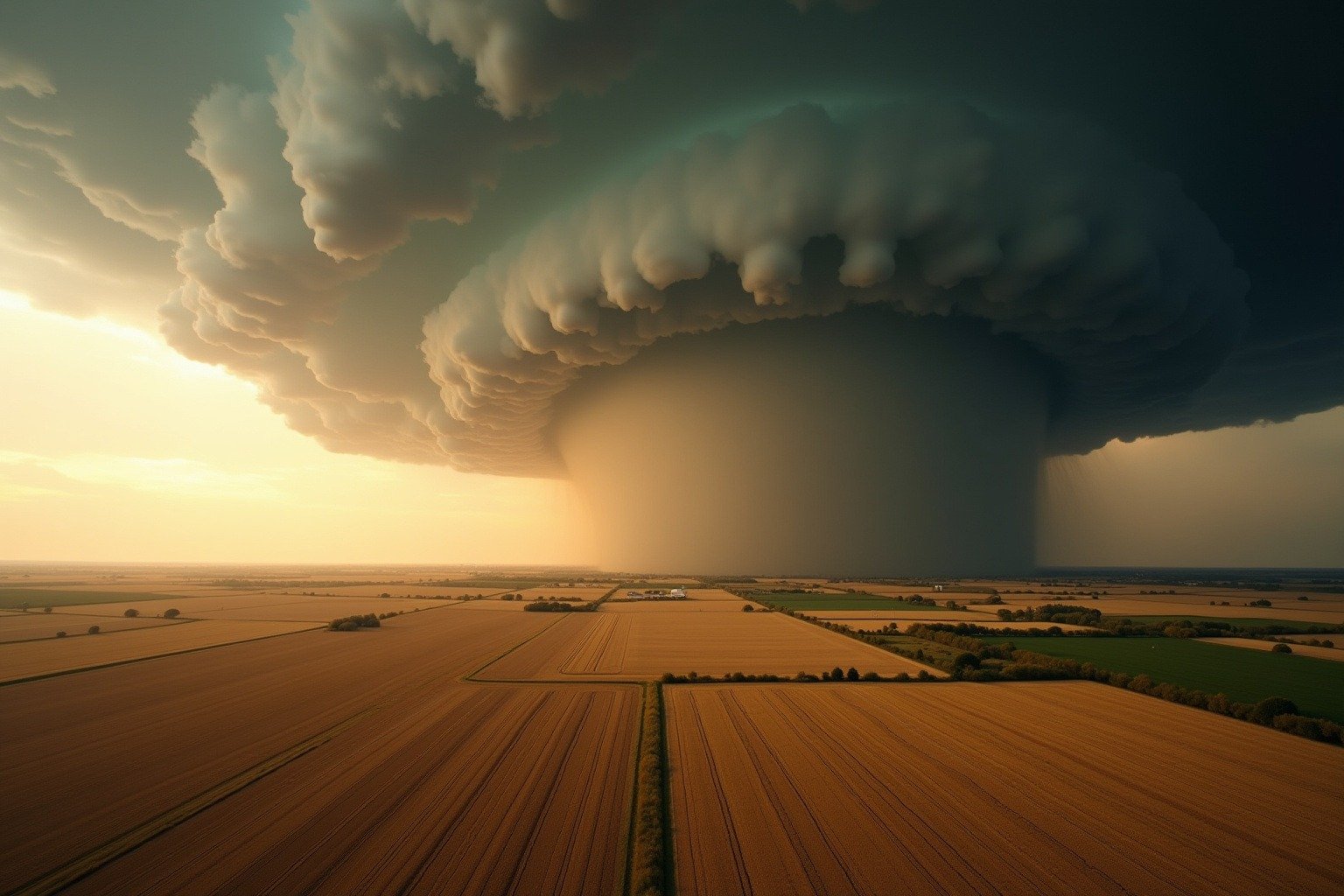
A greenish-black sky stretches from horizon to horizon across the flat Kansas prairie, and the air suddenly goes still. For millions of Americans living in the heart of the country, this is what spring looks like on a tornado alley map.
The term “Tornado Alley” was first used in 1952 as a research project title. It describes a region of the central United States where tornadoes occur with unusual frequency and intensity. A tornado alley map typically shows a north-south corridor through the Great Plains, anchored by four core states: northern Texas, Oklahoma, Kansas, and Nebraska.
The broader tornado alley geography also stretches into South Dakota, Iowa, Missouri, and parts of Colorado, Illinois, and Indiana. Where is tornado alley? The heart of this zone sits in the flat open country between the Rocky Mountains and the Mississippi River, where warm and cold air masses collide with nothing to stop them.
On average, this region sees 200 to 400 tornadoes per year. The United States as a whole experiences about 1,200 tornadoes annually, more than any other country on Earth. The concentration of those storms in one geographic band is what makes the tornado alley map so striking.
Why Tornadoes Concentrate Across These States
The reason tornado alley states face so many twisters comes down to geography and basic atmospheric physics. Three distinct air masses converge over the Great Plains every spring, setting up a natural collision course.
Think of it like a three-car intersection with no traffic lights. Warm, moist air from the Gulf of Mexico flows northward. Cold, dry air descends from Canada. Dry air spills over the Rocky Mountains from the west. When these three air masses meet, the warm Gulf air rises rapidly through the colder layers above, and the whole column begins to rotate.
Meteorologists call this wind shear, the change in wind speed and direction with height. Wind shear is the engine that turns an ordinary thunderstorm into a rotating supercell capable of producing a tornado. The NOAA’s National Severe Storms Laboratory daily during peak season.
The flat terrain of the Great Plains is the final piece of the puzzle. Without mountains or dense forests to break up the airflow, these air masses collide at full strength. In April 2011, a single supercell outbreak across the Southeast produced over 350 tornadoes in just four days, showing what happens when all the ingredients come together without obstruction.
To understand why rotation matters so much, it helps to know the basics of how tornadoes form. A horizontal tube of spinning air gets tilted vertical by the updraft, and the whole storm begins to tighten and accelerate, like an ice skater pulling in their arms.
What Living in Tornado Alley Means for People
Tornadoes across these states are not just data points on a weather map. They reshape communities and personal lives with every passing season.
Homes and neighborhoods take the brunt of the impact. An EF3 or stronger tornado can level entire blocks in under a minute. In towns across Oklahoma and Kansas, community tornado shelters have become as standard as public libraries. Families who have lived in the region for generations can often point to the exact year a storm reshaped their street.
Schools in the tornado alley states run regular tornado drills starting in kindergarten. Children learn to line up against interior walls, away from windows, and cover their heads long before they learn algebra. The routine becomes second nature, a quiet reminder that the sky can change in an instant.
Insurance costs in the region tell their own story. Homeowners in the highest-risk counties often pay significantly more for wind and storm coverage than those on the coasts. Some families keep a go-bag packed year-round with water, flashlights, medications, and copies of important documents.
For a broader look at how severe storms develop and what communities can do to prepare, tornado science and safety covers the full picture from formation to recovery.
The Shifting Tornado Alley Map
Researchers have observed something notable in recent decades. The classic tornado alley map is not a fixed boundary set in stone. More tornadoes are now occurring farther east, in a region some call Dixie Alley, spanning Mississippi, Alabama, and Tennessee.
The NOAA Storm Prediction Center documents how this shift the Southeast has different vulnerabilities than the Great Plains. More trees, more hills, and a higher population density mean tornadoes in Dixie Alley are harder to see coming and more likely to hit populated areas at night. Mobile homes, which are common across the rural South, offer almost no protection against even a weak tornado.
Tornado season officially peaks from April through June, but the truth is that tornadoes can strike in any month. The atmospheric ingredients that feed these storms, warm moist air, cold fronts, and wind shear, are not confined to spring. How thunderstorms form explains the same basic recipe that powers every severe storm across the central United States.
What You Should Know Before the Next Watch
No one living in or traveling through the tornado alley states should wait until a siren sounds to figure out what to do. A few simple steps taken now make the difference between panic and action when a warning comes.
Know the nearest shelter. A basement is best. An interior room on the lowest floor with no windows is the next best option. Mobile homes and vehicles are not safe places during a tornado, leave them for a sturdy building before the storm arrives.
Have a weather radio with backup batteries. Do not rely on phone alerts alone. Cell towers can go down, and outdoor sirens are designed to warn people outside, not wake you up at 2 a.m.
A tornado watch means conditions are favorable for tornado formation. A tornado warning means a tornado has been sighted or detected on radar. That distinction saves lives. A watch is your cue to stay alert. A warning is your cue to move immediately.
The tornado alley map will keep shifting, the storms will keep coming, and the safest place is always the one you reach before the sky turns green.