Reading Time: 6-7 min | Category: Weather Explained
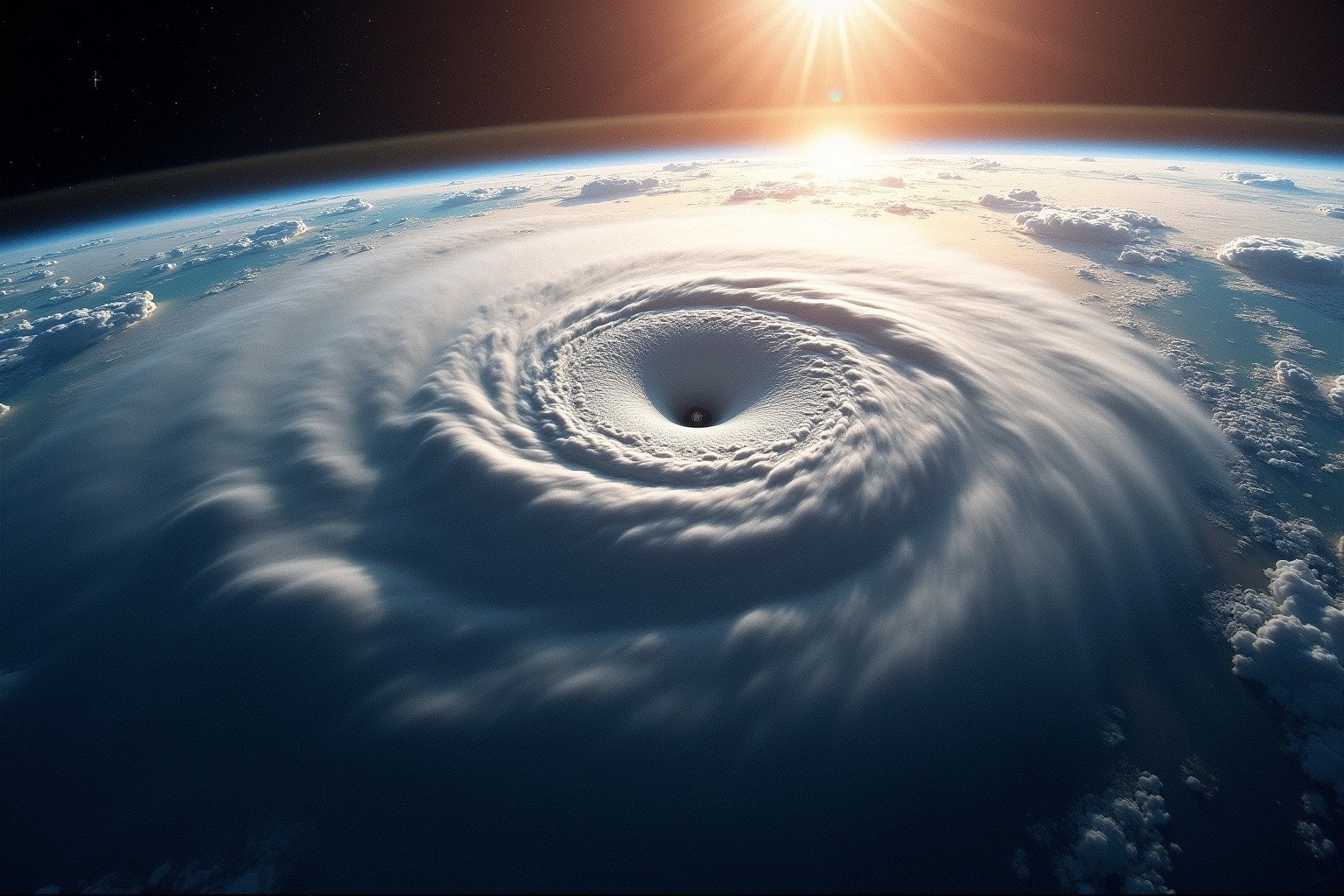
On April 1, 1960, a rocket lifted off from Cape Canaveral carrying a 270-pound cylinder of cameras, sensors, and tape recorders. It was called TIROS-1, the first weather satellite ever launched. When its first image came back, meteorologists saw something they had never seen before: clouds organized in sweeping bands and spirals across entire ocean basins. Weather forecasting changed that morning. Every forecast you have checked since traces its accuracy back to that moment.
How Weather Satellites Work: Two Types, Two Jobs
Weather satellites are the foundation of modern forecasting. Without them, meteorologists would be largely blind over the 70 percent of Earth covered by oceans, where few ground stations exist. Satellites watch the entire planet continuously, feeding a stream of images and measurements into the computer models that produce the forecasts you check every morning.
Understanding how weather satellites work starts with a simple idea: two types of satellites do two very different jobs. One type hovers in a fixed position over the equator, snapping rapid-fire images of storms as they develop. The other type circles the planet from pole to pole, measuring temperature, humidity, and wind through the full depth of the atmosphere. Both are essential, and neither works well without the other.
The Stationary Watchers: GOES Satellites
The satellites that produce the animated storm loops you see on the news belong to the GOES series, Geostationary Operational Environmental Satellites. These spacecraft sit at an altitude of 22,236 miles above the equator, moving at a speed that exactly matches Earth’s rotation. From the ground, they appear to hover in one spot, which is exactly the point.
GOES satellite storm tracking works like a security camera that never blinks. GOES-16, the satellite watching the eastern United States and Atlantic Ocean, scans the continental United States every five minutes. When severe weather develops, it can zoom in on a single thunderstorm and capture images every 30 seconds. This rapid cadence lets forecasters watch a storm intensify in near real time.
Five-day forecasts today are as accurate as two-day forecasts were in the 1980s. The improvement comes from satellite data filling the observational gap over oceans, where 70% of Earth’s surface has no ground weather stations.
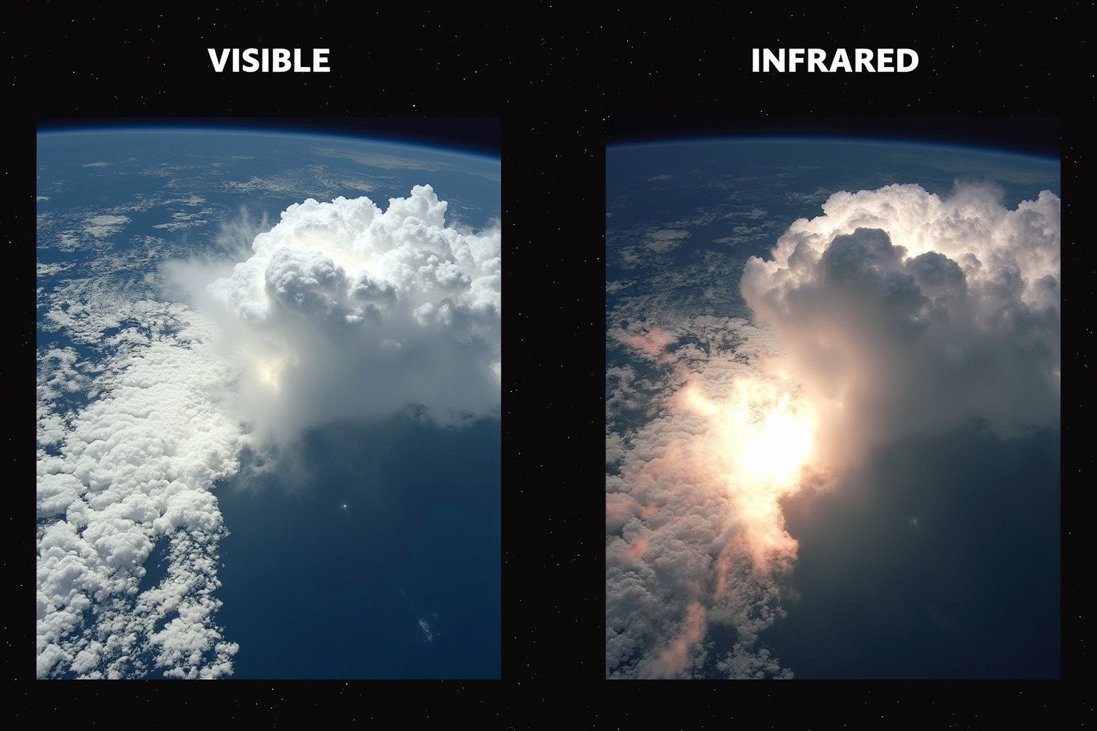
The Advanced Baseline Imager, the main instrument aboard GOES satellites, captures 16 different spectral bands. Some bands see visible light, showing the classic cloud images everyone recognizes. Others see infrared wavelengths, measuring the temperature of cloud tops. Colder tops mean taller clouds. Taller clouds mean stronger storms. This simple relationship is one of the most powerful forecasting tools satellites provide.
The Global Measurers: Polar-Orbiting Satellites
Polar orbiting weather satellites fly much lower, at roughly 517 miles altitude, and circle the planet from pole to pole 14 times per day. As Earth rotates underneath them, they scan the entire globe in narrow swaths, building a complete picture every 24 hours.
The polar-orbiting satellites currently in service belong to the Joint Polar Satellite System, or JPSS. While GOES excels at watching weather events unfold in real time, JPSS satellites measure the invisible ingredients that make weather happen: temperature profiles through the full depth of the atmosphere, vertical humidity layers, sea surface temperatures, and snow and ice cover. This data feeds directly into the computer models that produce forecasts five to ten days out.
A useful way to think about the difference: GOES satellites are the live news cameras, capturing every dramatic development as it happens. JPSS satellites are the investigative reporters, collecting the detailed measurements that explain why things are happening. Modern weather satellite data forecasting relies on both, and neither type alone would be sufficient.

How Satellites See Weather
Weather satellites are not simply cameras in space. They are suites of instruments that measure energy across the electromagnetic spectrum.
The Advanced Baseline Imager aboard GOES captures light in 16 channels. In the visible spectrum, it photographs clouds, snow, and smoke exactly as they appear. In the infrared, it measures heat: cold cloud tops show up bright white because they radiate less heat than the warm surface below. A thunderstorm punching into the stratosphere appears as a brilliant white blotch against the darker background of warmer air.
The imager also captures near-infrared wavelengths that reveal the difference between water droplets and ice crystals within clouds, and a water vapor channel that shows moisture distribution through the middle atmosphere even where no clouds exist. Together, these channels give meteorologists a three-dimensional view of the atmosphere from a single instrument.
One discovery from NASA Langley research has proven remarkably valuable: storms that produce an above-anvil cirrus plume, a fan of ice crystals spreading above the flat anvil top, are 14 times more likely to produce severe weather than storms without one. Only satellite imagery can spot this signal, because ground radar cannot see that high. In infrared, the plume is unmistakable.
From Data to Forecast
Satellite observations are not forecasts by themselves. They are the raw measurements that Numerical Weather Prediction models consume, the computer simulations that predict future weather by dividing the atmosphere into a three-dimensional grid of millions of boxes and solving the equations of physics for each one.
The quality of a forecast depends critically on the quality of the initial conditions fed into the model. If the model starts with an incomplete picture, it will produce an inaccurate forecast no matter how good its physics. Satellites fill the critical gap over oceans, where weather balloons and surface stations are sparse. GOES satellites provide real-time storm position and intensity data. Polar-orbiting JPSS satellites provide the temperature and moisture soundings that describe the full atmospheric state.
This combination is why five-day forecasts today are about as accurate as two-day forecasts were in the 1980s. The models have improved, but the observational data from satellites is what made those improvements usable in practice.
Why It Matters
Every tornado warning, every hurricane evacuation order, and every flash flood alert begins with satellite data. When GOES detects a storm’s cloud tops cooling rapidly, indicating explosive intensification, forecasters can issue warnings earlier. The minutes gained save lives.
Airlines use satellite-based forecasts to plan fuel loads and avoid turbulence, decisions worth billions of dollars annually. Farmers rely on satellite-driven seasonal outlooks to decide when to plant and harvest. Energy companies use cloud forecasts from satellite data to predict solar and wind power output, balancing the electrical grid hour by hour.
Every time you check a seven-day forecast on your phone, you are reading numbers that trace back to satellite measurements. The temperature, the rain probability, the wind speed, all of it started as light captured by an imager orbiting 500 or 22,000 miles above you. The forecast is not a guess. It is the output of a global observing system, and satellites are its most important component.
The technology continues to improve. The GOES-R series, operational since 2017, represents a generational leap over the previous generation. Lightning mappers now detect every flash within a storm, helping forecasters identify which thunderstorms are intensifying most rapidly. And the next round of upgrades is already in development.
The first weather satellite picture, taken by TIROS-1 in 1960, showed clouds banded in ways no meteorologist had ever imagined from the ground. Today, a fleet of satellites watches every storm, measures every degree of temperature change, and feeds the models that protect lives and livelihoods. The satellites are invisible, the work is constant, and the forecasts you rely on would not exist without them.
Read next: See how meteorologists use satellite data in how weather forecasts actually work. Learn how the Coriolis effect shapes hurricanes, another phenomenon satellites track from orbit. And check our jet stream explainer for how the winds satellites measure steer your daily weather.