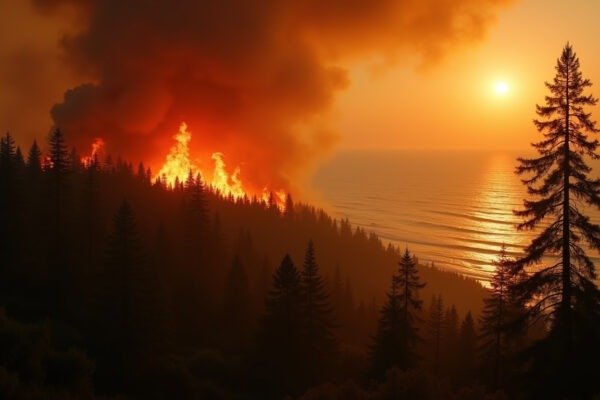
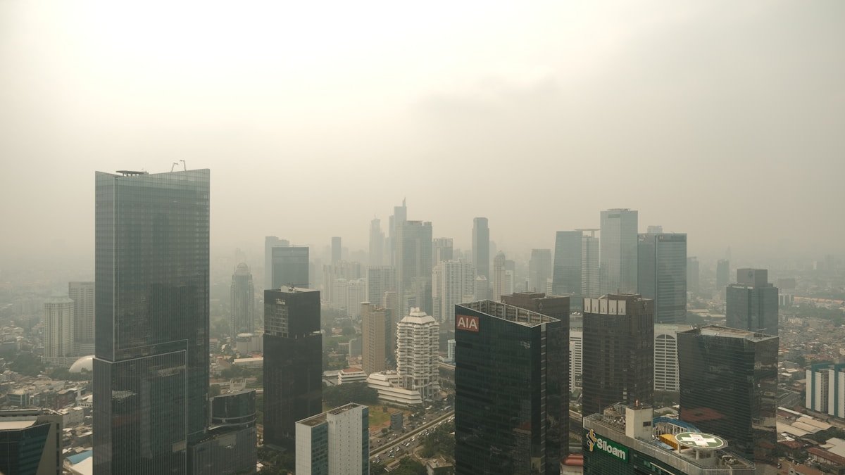
On the morning of July 17, 2026, the wildfire smoke map 2026 showed an ugly smear of orange and purple stretching from Ontario to New York Harbor. Toronto residents had already seen it with their own eyes. The CN Tower observation deck, normally offering a 100-mile view across Lake Ontario, showed nothing but smoke. You could taste it in the air.
The same plume drifted south over the next 24 hours, pushing air quality into unhealthy territory across multiple major cities. Detroit posted some of the worst readings. Chicago and New York City followed within hours. This is the summer of 2026 wildfire smoke, and the map is what millions of North Americans reached for first. With 2.35 million acres burned in the United States and 6.87 million acres scorched across Canada by mid-July, the smoke has become a daily reality. Not a distant headline. A thing you check before walking your dog or sending your kids to camp.
What’s Happening Right Now
The numbers tell a grim story. Through mid-July 2026, U.S. wildfires have burned 2.35 million acres, according to the National Interagency Fire Center. That is more than double last year’s pace at the same point. Eighteen large fires remain uncontained across the West.
Canada is burning even faster. As of July 17, Canadian wildfires had consumed 2.78 million hectares, the equivalent of 6.87 million acres. Ontario Premier Doug Ford described the situation in stark terms on July 17: 191 active fires were burning in Ontario alone. Of those, 81 were uncontrolled. The New York Times reported that smoke from these fires had traveled more than a thousand miles.
NASA’s Earth Observatory confirmed on July 14 that 1.9 million hectares had burned across Canada year-to-date. Satellite images showed a dense gray plume stretching from Ontario across the Great Lakes and into the northeastern United States. From space, it looked like someone had dragged a fog machine across the continent.
For people on the ground, the experience was more visceral. New York City woke up to a sky the color of weak tea on July 17. Chicago’s lakefront, normally a summer escape, emptied out by mid-afternoon. These are not abstract data points. They are canceled soccer practices. Asthma inhalers pulled from purses at the first sign of haze.
You can track exactly where the smoke is right now using any of several real-time tools. The wildfire smoke map 2026 has become as essential as a weather forecast for millions of people across the continent.
Using the Wildfire Smoke Map 2026 to Track Air Quality
Several agencies publish free wildfire smoke maps that update continuously. The one you should bookmark first is the AirNow Fire and Smoke Map. Run by the EPA and the U.S. Forest Service, it shows smoke plumes, air quality sensor readings, and fire perimeters on a single zoomable interface. You can type in your ZIP code and see exactly what the air quality is outside your door.
The New York Times maintains an interactive wildfire tracker that overlays active fire data with smoke dispersion modeling. It is updated multiple times per day and is especially useful for understanding where smoke will travel over the next 48 hours. ArcGIS offers a Fire and Smoke Viewer with satellite heat detection layers. FireMap.live provides a faster-loading alternative for mobile users who just want to see a quick snapshot.
Reading a smoke map takes about 30 seconds once you know the key signals. Most maps use a color gradient: green means good air quality, yellow is moderate, orange means unhealthy for sensitive groups, red signals unhealthy for everyone, purple is very unhealthy, and maroon means hazardous. The fine particulate matter known as PM2.5 is the primary concern during wildfire smoke events. These particles are 30 times smaller than a human hair. They bypass your body’s natural filters in the nose and throat and travel deep into the lungs. From there, they can enter the bloodstream.
The PM2.5 reading on your local sensor is the single most important number to check. If it climbs above 35 micrograms per cubic meter, staying inside with windows closed is the right call. Above 100, you should wear an N95 mask outdoors. Above 200, you should not be outside at all.
The Health Toll Nobody Talks About
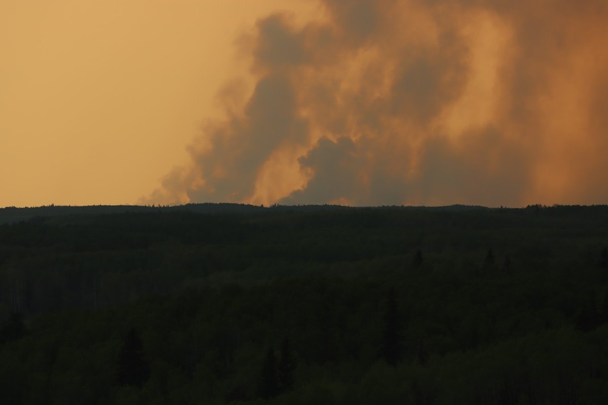
Wildfire smoke is physically damaging in ways researchers are still measuring. The Centers for Disease Control and Prevention identifies several groups at elevated risk: people with asthma or COPD, children whose lungs are still developing, older adults, pregnant women, and outdoor workers. But even healthy adults feel the effects after prolonged exposure.
PM2.5 particles trigger inflammation throughout the body. A 2025 study published in the Journal of the American Heart Association found that wildfire smoke exposure increases the risk of cardiac arrest by up to 70% on heavy smoke days. Emergency rooms in smoke-affected cities see a measurable spike in respiratory admissions within 48 hours of an air quality alert. The CDC Wildfire Smoke Guide details the full range of risks: irritated eyes, scratchy throat, chest pain, rapid heartbeat, and fatigue that lasts for days.
For the 25 million Americans with asthma, wildfire smoke season means stocking up on rescue inhalers and watching the wildfire smoke map 2026 like a second weather app. School districts from Minnesota to New York canceled outdoor activities throughout the third week of July 2026. Parents received text alerts instructing them that all outdoor sports and recess had moved indoors because of air quality. For kids who spent the previous two summers inside during the pandemic, the irony is not lost on anyone.
Mental health takes a hit too. Days of orange skies and the smell of smoke seeping through window seals wear people down. A study from the University of British Columbia found that prolonged wildfire smoke exposure correlates with increased anxiety and depression diagnoses. You cannot see the sun. You cannot open your windows. The air itself feels hostile.
Understanding why these particles damage your body helps you take the right precautions. Think of your lungs as a filter that catches dirt before it reaches your bloodstream. That filter works well for dust and pollen. PM2.5 particles are too small for the filter to catch. The technical term is “fine particulate matter.” The real-world example: imagine trying to strain sand with a fishing net. The sand goes right through. That is what happens when PM2.5 reaches the deepest parts of your lungs.
Why 2026 Is Different
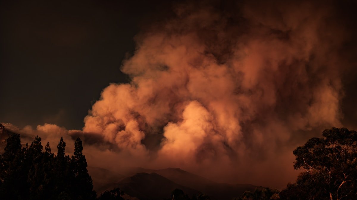
Three factors have converged to make the 2026 wildfire season worse than recent years. The first is a severe drought gripping the western United States and large portions of Canada. By late June, soil moisture across the Western U.S. was at its lowest level in 20 years. A dry forest is a fuse waiting for a match.
The second factor is the heat dome pattern that has parked itself over North America. We explored this in our coverage of Six Fires One Heat Dome: Why the West Is Burning Earlier and Hotter in 2026. High-pressure systems stall overhead for weeks, baking the landscape and suppressing the rain that would normally slow fire spread. When lightning strikes, it hits kindling.
The third factor is the sheer number of simultaneous fires. Ontario’s 191 active fires, with 81 uncontrolled, mean that no single suppression effort can contain all the smoke sources. Even if firefighters gain ground on one fire, the next one keeps pumping particulates into the atmosphere. The Ontario Wildfires 2026 situation is not an isolated crisis. It is one theater in a continental-scale emergency.
Insurance companies are watching closely. Wildfire-related claims in Canada are on track to break records. Travel disruptions cascade through the aviation system when smoke reduces visibility at major hubs. Farmers watch crops struggle under a sun that cannot break through the haze. This is not a regional story. It is an economic one.
What You Can Do Right Now
Protecting yourself from wildfire smoke does not require expensive equipment. A few simple steps make a meaningful difference.
Check the wildfire smoke map 2026 each morning. The AirNow Fire and Smoke Map updates every hour. If the AQI in your area is above 100, limit outdoor activity. Above 150, stay inside with windows and doors sealed tight.
Run your HVAC system on recirculate mode. If you have a central air system, install a MERV-13 or higher filter. These cost about $20 at any hardware store and capture the fine particles that cheaper filters miss. If you do not have central air, a portable HEPA air purifier for the room where you spend the most time is worth the investment. Aim for a unit rated for at least 300 square feet.
Wear an N95 mask if you must be outside. Cloth masks and surgical masks do not stop PM2.5 particles. You need a respirator rated N95 or KN95. Hardware stores carry them. If you see AQI readings above 150 and you cannot stay indoors, the mask is not optional.
Stay hydrated. Smoke dries out your respiratory tract and makes you more vulnerable to irritation. Drink more water than usual on heavy smoke days. Avoid outdoor exercise entirely when the AQI exceeds 100. The deeper you breathe during a run or bike ride, the more particles you pull into your lungs.
Our Wildfire Smoke Health Risks guide walks through these protections in greater detail. Bookmark it alongside your smoke map for the rest of this fire season.
For communities, the steps are bigger. Cooling centers that double as clean-air shelters give vulnerable residents a place to breathe safely. Cities from Seattle to New York have opened public buildings with industrial-grade filtration during the worst smoke days. If your town does not have one, asking your city council why is a reasonable question.
We are still in July. The traditional peak of wildfire season does not arrive until August and September. What you do now, the habits you build around checking air quality and protecting your lungs, will serve you through the rest of this summer and every one after it.
The smoke map tells you what is happening. Your response determines what happens next.