| Polar jet altitude | 5-9 miles (30-60° latitude) |
| Subtropical jet altitude | Higher (20-30° latitude) |
| Wind speeds | 100-300 mph |
| Arctic warming rate | 4x faster than global average |
A ribbon of wind racing at 200 mph, five to nine miles above the ground, decides whether your Tuesday brings sunshine or a snowstorm. The jet stream is the atmosphere’s steering current, a narrow band of fast-moving air that shapes storm tracks, controls temperature swings, and determines where rain falls and drought settles in. Learning how the jet stream works explains why weather patterns sometimes stall for weeks, producing heat waves that break records or floods that swallow towns.
What Is the Jet Stream?
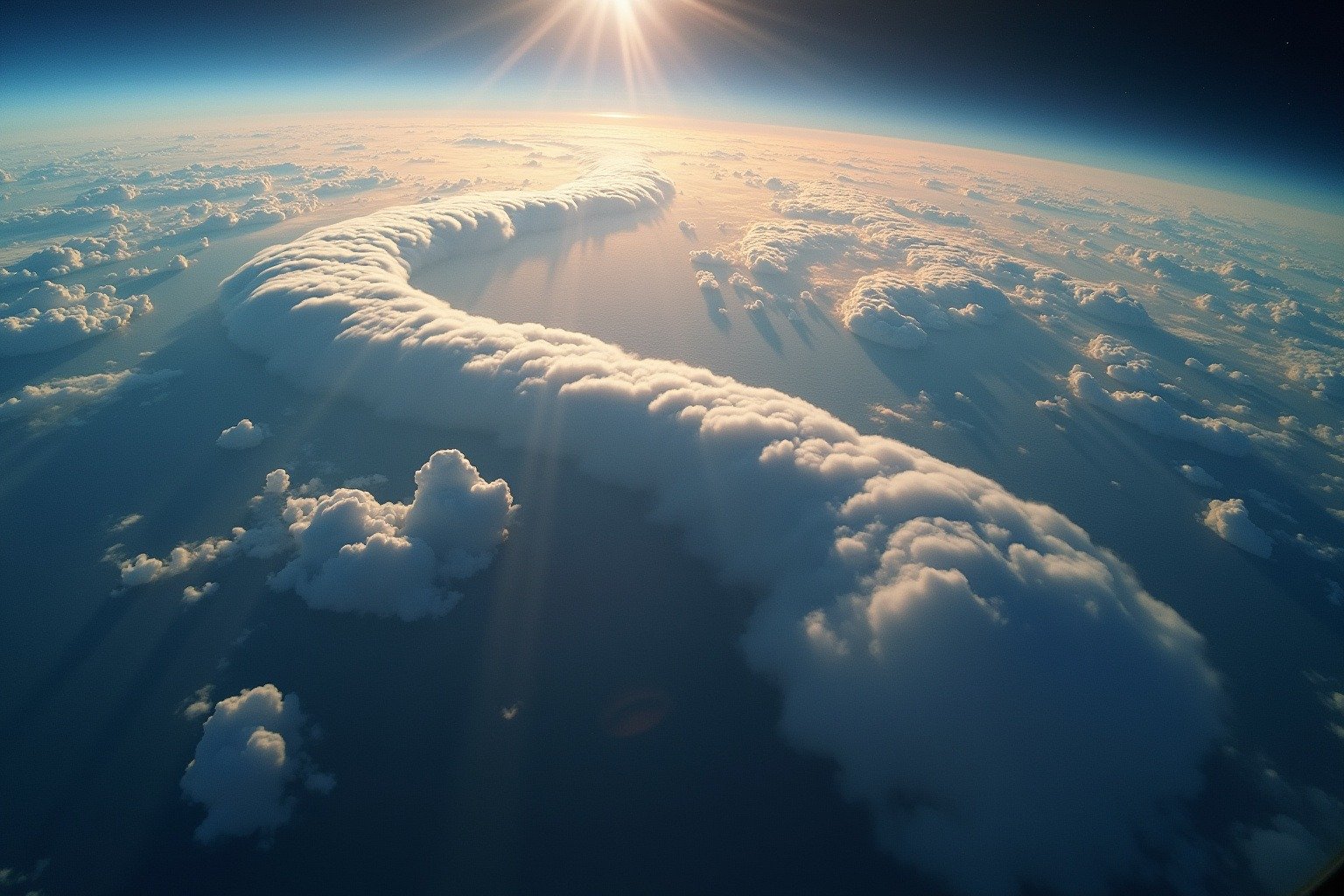
The jet stream is a narrow corridor of strong wind in the upper atmosphere, flowing west to east at altitudes between 5 and 9 miles. Wind speeds inside the jet core routinely reach 100 to 300 mph, with gusts above 275 mph recorded over the North Atlantic during winter storms. The jet is not a fixed structure, it wobbles, splits into branches, and shifts north or south with the seasons. When meteorologists talk about the jet stream, they describe the boundary where cold polar air collides with warm subtropical air, and the atmosphere’s response powers nearly every weather system you experience.
The name comes from aviation. Pilots flying west-to-east routes across the Pacific during World War II discovered tailwinds so strong they could cut hours off a flight. The term entered the meteorology vocabulary shortly after, according to the UCAR Center for Science Education.
How the Jet Stream Works
Two forces create the jet stream: temperature differences between air masses and Earth’s rotation. When cold Arctic air sits next to warm tropical air, the temperature gradient creates a pressure difference. Air rushes toward low pressure, but Earth’s rotation, via the Coriolis effect, deflects it to the right in the Northern Hemisphere, producing a concentrated river of wind flowing parallel to the temperature boundary. The same Coriolis force shapes hurricanes, we covered how the Coriolis effect drives hurricane rotation in more detail.
Two main jet streams circle each hemisphere. The polar jet stream sits between 30 and 60 degrees latitude, closer to the surface in winter when the north-south temperature contrast is strongest. The polar jet can reach 250 mph in January, pulling Arctic air southward or allowing tropical warmth to push north. The subtropical jet stream occupies a higher altitude band between 20 and 30 degrees latitude, more stable year-round and driven by tropical circulation. According to the Met Office, the subtropical jet plays a significant role in steering tropical weather systems and monsoon patterns across Asia and Africa.
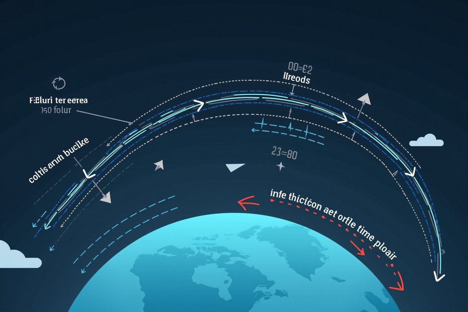
The jet stream does not flow in a straight line. It meanders in giant, slow-moving waves called Rossby waves, producing ridges where the jet bulges northward (warm, dry conditions) and troughs where it dips southward (cold, wet air behind it). A ridge parked over the central United States in summer can trap heat for days. A trough stalling over the same region in winter can drop temperatures 30 degrees below normal. The position of these ridges and troughs determines your local forecast.
How the Jet Stream Affects Your Weather
Jet stream weather effects reach across entire continents. Storm systems travel along the jet like freight cars on a track. When the jet aims directly at a region, it delivers a train of low-pressure systems. When the jet shifts away, high pressure settles in. A city can see three storms in one week followed by two weeks of clear skies for one reason: the jet moved.
Aviation depends on jet stream position to plan fuel-efficient routes. A flight from New York to London riding the jet stream can arrive more than an hour early. The return trip, fighting the same winds, burns extra fuel. Airlines saved an estimated 100 million gallons of fuel in 2023 by routing flights through favorable jet stream winds.
Agriculture feels the jet stream’s influence through growing-season rainfall. When the jet stalls north of the Corn Belt in June, planting windows open. When it digs south with persistent troughs, saturated fields delay seeding by weeks.
Storm preparedness begins with jet stream forecasts. Emergency managers tracking the jet’s position know where the next wave of severe weather is likely to develop, giving communities time to stage resources and issue warnings.
Heat waves and cold outbreaks follow jet stream patterns directly. A strong ridge of high pressure beneath a northward bulge can push temperatures past 100°F and hold them there. The 2021 Pacific Northwest heat dome, which shattered all-time records by double digits, occurred beneath a stalled Rossby wave ridge that refused to budge for nearly a week. Cold outbreaks work the same mechanism in reverse: when the polar jet stream plunges southward, it opens a highway for Arctic air to spill into the central and eastern United States.
How Climate Change Is Reshaping the Jet Stream
The Arctic is warming roughly four times faster than the global average, a phenomenon called Arctic amplification. As sea ice melts and exposes darker ocean water, more solar energy is absorbed rather than reflected, accelerating the warming cycle. This rapid Arctic warming reduces the temperature difference between the pole and the equator, the very contrast that drives the jet stream’s speed and shape.
A weaker temperature gradient produces a slower, wavier jet stream with deeper, slower-moving Rossby waves. These amplified waves produce blocking patterns, where high-pressure systems stall for days or weeks. Under a blocking high, heat builds without relief. Under a blocking low, rain keeps falling on the same watershed. Research published by the Arctic Council documents that a wavier polar jet stream is linked to an increase in persistent weather extremes across the Northern Hemisphere. Events that once lasted three days now stretch to ten.

The evidence for this connection continues to strengthen. The 2021 Pacific Northwest heat wave, the 2022 Pakistan floods that submerged a third of the country, and the 2023 European heat wave all occurred beneath unusually wavy, slow-moving jet stream configurations. Scientists at NOAA continue to study how jet stream and climate change interact, modeling whether the observed increase in blocking frequency will accelerate as Arctic warming continues.
What This Means for You
Knowing how the jet stream works changes how you read a weather forecast. When a meteorologist says “a ridge will build over the region this weekend,” the jet stream will bulge northward, warm air will follow, and conditions will stay dry. When they say “an active pattern sets up next week,” the jet has aimed at your area, lining up multiple storm systems.
The practical takeaway is preparation, not panic. Heat waves beneath stalled ridges demand planning: check on elderly neighbors, know where cooling centers are, reschedule outdoor work for early morning. Extended wet periods beneath stalled troughs require flood awareness: do not drive through standing water, clear drainage paths around your home, and have a way to receive flash flood warnings. The jet stream has always wobbled and will always wobble. Whether those wobbles are getting bigger and sticking around longer determines the forecast for your Tuesday.
Read next: How Weather Forecasts Actually Work to see how meteorologists read the jet stream in real time, and Why Tornado Alley Is Shifting East to understand how changing jet stream patterns are moving severe weather into new regions.