A tornado touches down in a Mississippi suburb at 11 p.m., hidden by rain and darkness. The warning goes out, but most residents are asleep. By morning, an entire neighborhood is gone.
This is not a scene from Oklahoma or Kansas. It is the new face of tornado country, and it keeps shifting further east every year.
What Is Tornado Alley?
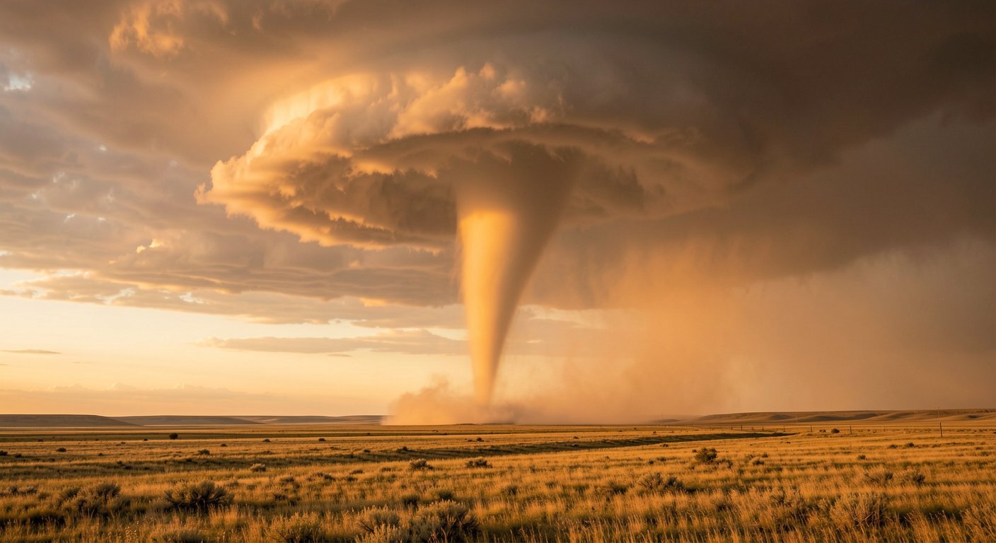
For most Americans, Tornado Alley means one thing: the flat, open plains of Oklahoma and Kansas, plus the Texas Panhandle, where storm chasers film rotating funnels against golden sunsets. The term was coined in 1952 by U.S. Air Force researchers studying severe weather across Texas, Louisiana, Oklahoma, Kansas, South Dakota, Iowa, Nebraska.
For decades, that geographic definition held. The central Plains produced the most tornadoes per square mile anywhere on Earth.
But the map has been drifting out of date for decades. In a 2018 study in the journal npj Climate and Atmospheric Science, researchers Vittorio Gensini and Harold Brooks found tornado frequency declining across the Great Plains while rising across the Southeast and Midwest. Recent seasons keep matching that pattern. According to NOAA’s National Centers for Environmental Information, 2025 produced 1,559 preliminary tornado reports — 127 percent of the 1991-2020 average and the fifth-highest annual count on record — with the year’s largest outbreak tearing across the Midwest and Southeast in mid-March.
States like Mississippi, Alabama, Tennessee, Arkansas, Kentucky, and Missouri are now recording more tornado activity than the traditional Plains corridor. Meteorologists have a name for this emerging zone: Dixie Alley. And unlike the wide-open Plains, Dixie Alley is densely populated, heavily forested, and full of people who cannot see a tornado coming until it is on top of them.
Why Tornado Alley Is Shifting East
Three forces are pushing tornado activity away from the Plains and into the Southeast.
The warming Gulf of Mexico. Sea surface temperatures in the Gulf have risen steadily over the past four decades. Warmer water evaporates faster, pumping more moisture into the air that flows north across the Southeast.
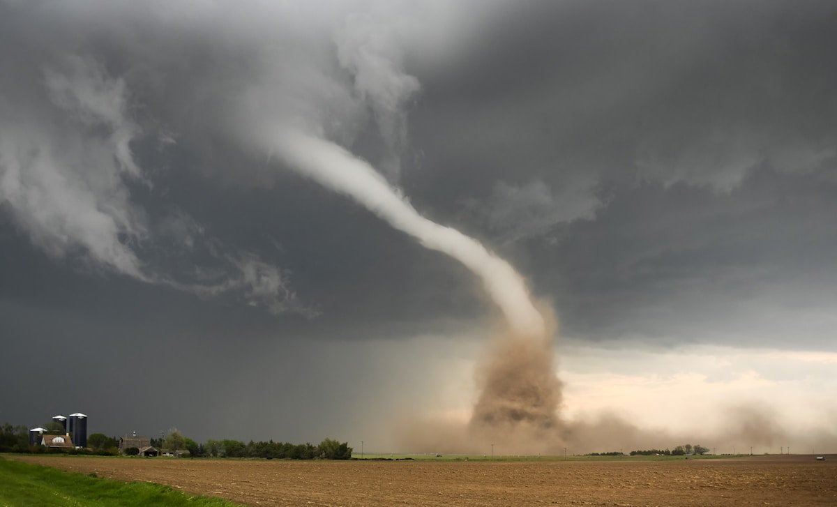
This moisture is the fuel that supercharges thunderstorms. The more moisture available, the more unstable the atmosphere becomes, and the more likely a rotating supercell will produce a tornado.
The changing jet stream. Climate models show the polar jet stream is dipping further south over the eastern United States, especially during spring and early summer. This southward dip pulls cold, dry air from Canada directly over the warm, wet air rising from the Gulf.
The collision of these two air masses creates extreme wind shear, the change in wind speed and direction with height that spins ordinary thunderstorms into tornado-producing machines. In atmospheric science, this is called vertical wind shear, and it is the single most important ingredient for violent tornadoes. As the jet stream shifts, so does the zone of maximum shear, and with it, Tornado Alley itself.
The drying Plains. While the Southeast gets wetter, the traditional Tornado Alley is getting drier. Long-term drought patterns across Texas, Oklahoma, Kansas have reduced the surface moisture needed to fuel the kind of supercell thunderstorms that produce the most tornadoes. Less moisture means fewer storms, and fewer storms means fewer tornadoes. It is a self-reinforcing cycle: as the Plains dry, tornado activity shifts eastward; as activity shifts eastward, the Plains continue to dry.
These three factors do not operate independently. They form a feedback loop. A warmer Gulf sends more moisture east. A shifting jet stream places the collision zone over the Southeast. And a drying Plains removes the competition. The result is a steady, measurable migration of tornado risk from the Great Plains toward the Mississippi River Valley and beyond.
What This Means for People
Tornadoes in Dixie Alley are not the same as tornadoes on the Plains. The differences are not just geographic. They are deadly.
Harder to see. On the Plains, a tornado is often visible for miles. The flat terrain and lack of trees mean you can watch a funnel form, track its path, and take shelter with time to spare. In the Southeast, tornadoes are frequently rain-wrapped, meaning the funnel is hidden inside a curtain of heavy precipitation. The dense tree cover further blocks sight lines. A tornado can be a quarter-mile away and completely invisible until it rips through your yard.
More likely at night. Research from Northern Illinois University found that nocturnal tornadoes are 2.5 times more likely to be deadly than daytime tornadoes. In the Southeast, a disproportionate share of tornadoes occur after sunset, when people are asleep and warnings are harder to receive. The 2021 Mayfield, Kentucky tornado, an EF4 that killed 57 people, struck at 9:26 p.m. The 2023 Rolling Fork, Mississippi EF4 killed 17 people shortly after 8 p.m. These are not outliers. They are the pattern.
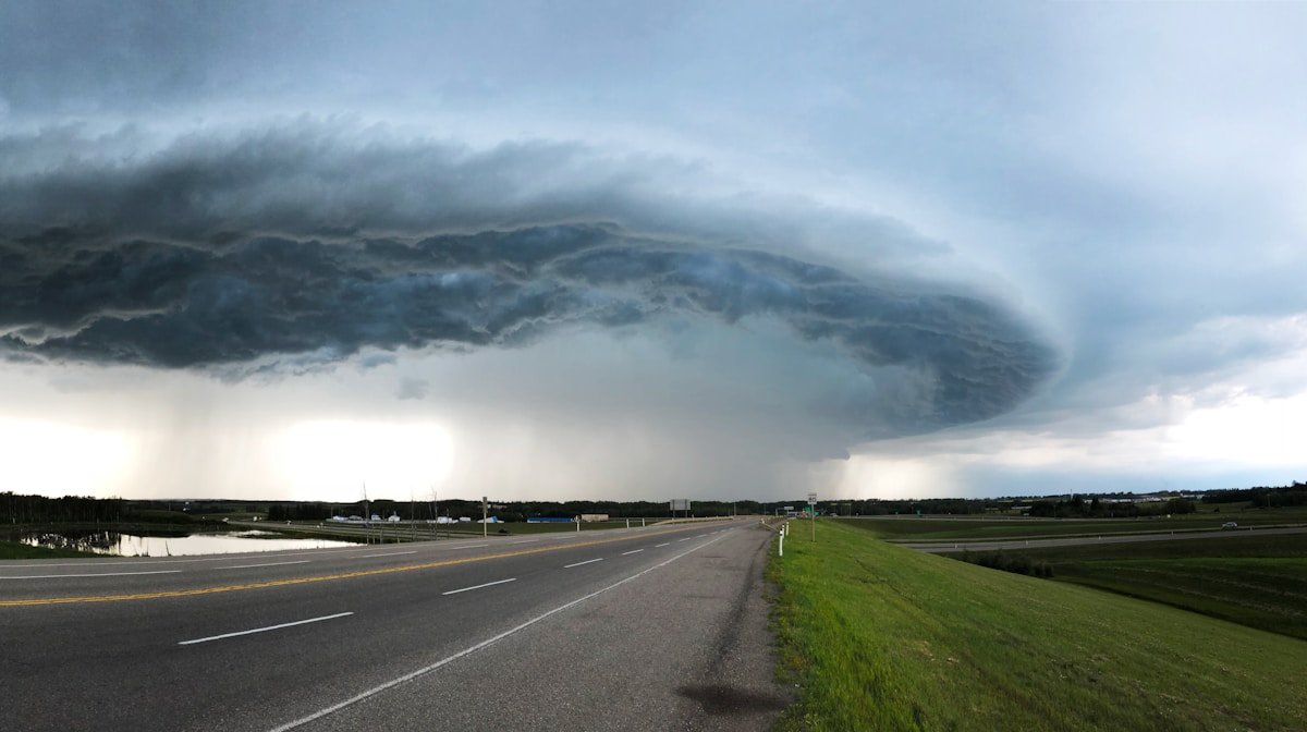
More people in the path. The traditional Tornado Alley is sparsely populated. Western Oklahoma has roughly 20 people per square mile. Central Alabama has roughly 100. When a tornado track passes through the Plains, it may hit farmland. When it passes through Dixie Alley, it hits subdivisions, mobile home parks, schools, hospitals. The population density of the Southeast means the same size tornado causes dramatically more damage and loss of life.
More mobile homes. Roughly 15 percent of housing units in Mississippi and Alabama are manufactured homes, compared to less than 5 percent in Kansas and Nebraska. Mobile homes offer almost no protection against even a weak EF1 tornado, and they account for a wildly disproportionate share of tornado fatalities. A person in a mobile home is 15 to 20 times more likely to die in a tornado than someone in a site-built house with a basement or storm shelter.
Insurance and economic pressure. As tornado risk migrates east, insurance companies are recalculating premiums. Homeowners in states like Tennessee and Kentucky, which historically had lower severe weather risk, are seeing rate increases that rival hurricane-prone coastal areas. In some counties, insurers are pulling out entirely, leaving residents with state-run pools of last resort. The economic geography of severe weather is being redrawn in real time, and millions of households do not yet know they are in the new danger zone.
States in the New Tornado Alley
Based on recent data from NOAA, the Storm Prediction Center, and academic research, the tornado alley map and which tornado alley states face the highest risk in 2026 breaks down as follows.
Traditional Tornado Alley (declining activity): Texas Panhandle, Oklahoma, Kansas, Nebraska, eastern Colorado, western Iowa, South Dakota.
Dixie Alley (rising activity): Mississippi, Alabama, Louisiana, Arkansas, Tennessee, western Kentucky, southeastern Missouri.
Emerging risk zone: Southern Indiana, southern Illinois, western Georgia, the Florida Panhandle.
The shift is not theoretical. The March 14-16, 2025 outbreak — the largest on record for the month of March — confirmed roughly 117 tornadoes from Arkansas and Missouri into the Southeast, and Arkansas logged two EF-4 tornadoes on a single day for the first time since 1997, according to NOAA’s National Centers for Environmental Information. The same year produced the first EF5 tornado in the United States since 2013, near Enderlin, North Dakota, on June 20 — a reminder that violent storms still strike the Plains even as the long-term trend, documented by Gensini and Brooks in npj Climate and Atmospheric Science, points steadily eastward.
What You Can Do
The most important thing to understand is that if you live in the Southeast or Midwest, you now live in tornado country, whether you realized it or not. Preparation that was once optional is now essential.
Have multiple ways to receive warnings. Do not rely on outdoor sirens. They are designed to alert people outside, not wake you up at 2 a.m. A NOAA Weather Radio with battery backup is the gold standard. Enable Wireless Emergency Alerts on your phone. Download a reputable weather app with location-based push notifications. Have at least two redundant systems.
Know where to go. Identify your safe place before a warning is issued. The best option is an underground storm shelter or basement. If you do not have one, the next best is an interior room on the lowest floor, putting as many walls between you and the outside as possible. Bathrooms and closets work. Avoid rooms with windows. If you live in a mobile home, have a plan to get to a permanent structure before the storm arrives. Do not wait for the warning. Leave early.
Build a tornado kit. Water, non-perishable food, a flashlight, batteries, a first aid kit, medications, important documents, and sturdy shoes. Keep it in or near your safe place. Do not store it in the garage. You will not have time to retrieve it.
Practice with your family. A plan that has never been rehearsed is not a plan. Run a drill at least once a year, especially if you have children. Make sure everyone knows where to go, what to bring, and how long to stay there. The time to figure this out is not when a warning is active and the wind is picking up outside.
A Changing Map, A Shared Responsibility
Tornado Alley is not a fixed place. It never was. The 1952 map was a snapshot of mid-century weather patterns, and weather patterns change. What matters now is that millions of Americans live in a zone they were never told to worry about, in homes that were never built to withstand the kind of winds now arriving with greater frequency.
Tornado Alley shifting east is not a prediction. It is happening right now. Awareness is the first line of defense. If you live east of the Mississippi River and south of the Ohio River, you need to internalize a simple fact: the risk has moved. It is under your roof now.
Related: haboob