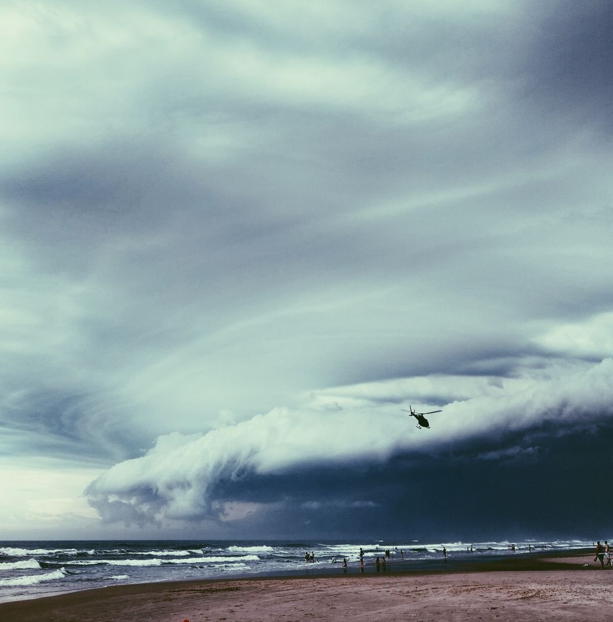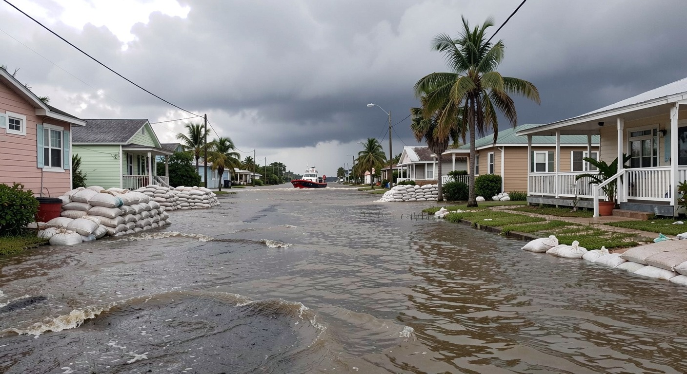
Tropical Storm Arthur became the first named storm of the 2026 Atlantic hurricane season, and while its winds were moderate, the flooding it left behind is the real story. Days of heavy rain swamped communities from Texas to Georgia, a reminder that water, not wind, is what makes tropical storms deadly.
What Happened
Tropical Storm Arthur formed in the Gulf of Mexico during the third week of June, becoming the first named storm of the 2026 Atlantic hurricane season. The National Hurricane Center tracked the system as it organized over warm Gulf waters and began moving toward the U.S. coastline. By June 17, forecasters had issued a rare early-season warning for the Southeast, a region still drying out from spring rains that left soils saturated and rivers running high.
Arthur made landfall along the Gulf Coast as a moderate tropical storm, bringing sustained winds and a surge of Gulf moisture. But wind was never the main concern. Days of heavy rainfall followed the storm’s circulation as it weakened to a tropical depression and then a remnant low, crawling across the Florida Panhandle, southern Georgia, and parts of Louisiana.
In Galveston, Texas, floodwaters rose quickly on June 18, submerging streets and forcing residents to navigate by boat in neighborhoods that had seen flooding before but rarely this early. The National Hurricane Center continued issuing advisories on the remnant system after Arthur lost its tropical characteristics, an acknowledgement that the flood threat would outlast the storm’s name.
Why It Happens
The Simple Version: Tropical storms are heat engines. They form over ocean water warmer than roughly 80 degrees Fahrenheit, pulling enormous quantities of moisture into the atmosphere. When that moisture meets land, it has to come down somewhere. Arthur’s circulation tapped the Gulf of Mexico, which was running one to two degrees above average for mid-June, and funneled that water northward. As the storm slowed over the Southeast, the rain kept falling in the same places. That is the recipe for inland flooding.
The Term: The Clausius-Clapeyron relationship. For every 1 degree Celsius the atmosphere warms, it can hold roughly 7 percent more water vapor. When conditions are right for a storm, that extra water becomes extra rain. Scientists at NOAA have documented that the heaviest rainfall events in the Southeast are already delivering more precipitation than they did a generation ago.
The Example: Hurricane Harvey parked over Houston in 2017 and dropped more than 60 inches of rain as a weakening tropical storm. The wind speeds declined while the flooding intensified, a pattern Arthur is following on a smaller but still dangerous scale. A storm does not need a major-hurricane label to produce major flooding. For more context, read our guide on hurricane formation and behavior.
How It Affects People
Homes and Property
For families living in flood-prone stretches of the Gulf Coast, the water rises faster than paperwork can be filed. Standard homeowners insurance does not cover flood damage. Many residents in affected areas either lack flood coverage or carry policies that fall short of recovery costs. Renters face an even steeper path: federal disaster assistance, when it arrives, is often structured as a loan, and a flooded apartment can mean weeks of displacement.
Travel and Emergency Response
Interstate 10, the main artery connecting the Gulf Coast from Florida to Texas, saw closures as floodwater ponded on the roadway. Airports in the Florida Panhandle reported delays that rippled into the broader Southeast. Emergency managers urged residents in low-lying areas to evacuate early, but the narrow window between Arthur’s formation and its arrival meant some communities had less than 48 hours to act.
First responders in Louisiana and Georgia drew on lessons from previous seasons, staging rescue boats and high-water vehicles before the heaviest rain arrived. Those preparations almost certainly saved lives. But debris removal, mold remediation, and infrastructure repair are only beginning. Small towns often wait months for federal disaster declarations to translate into dollars on the ground.
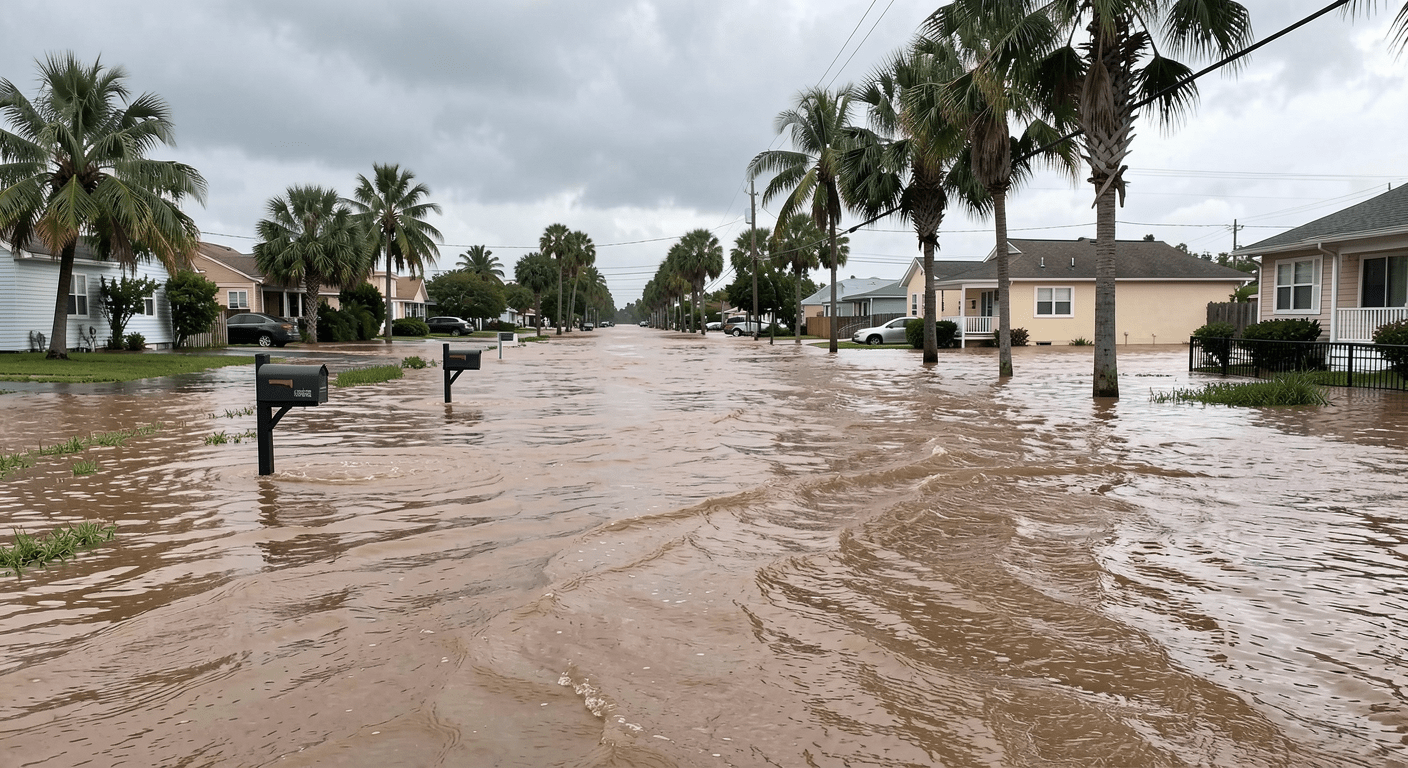
The flooding arrived on the heels of a separate crisis. Weeks earlier, record river crests swamped communities across Iowa and Illinois. For more, see our coverage of the Midwest flooding crisis and the Texas floods that followed weeks later.
Tropical Storm Arthur: By the Numbers
| Metric | Detail |
|---|---|
| Storm type | Tropical Storm (1st named of 2026) |
| Landfall | Gulf Coast, mid-June 2026 |
| Main hazard | Inland flooding (not wind) |
| Gulf water anomaly | 1–2°F above average |
| Regions affected | TX, FL Panhandle, GA, LA |
Why It Matters Now
The 2026 Atlantic hurricane season officially began on June 1, and Arthur arrived before July. Early-season storms are not unusual and do not, by themselves, predict whether a season will be active or quiet. The season’s second named system, Tropical Storm Bertha, followed weeks later in the Gulf. But they carry a message: the ocean is already warm, the atmosphere is already loaded, and a storm does not need to be a Category 5 to disrupt thousands of lives.
Climate change is sharpening the message. Tropical cyclones are intensifying more rapidly and moving more slowly over land. Research published in Nature found that tropical cyclone forward speed has decreased roughly 10 percent since the mid-20th century. A slower storm spends more hours over the same neighborhoods, and more hours mean more inches of rain.
Flooding, not wind, is the deadliest hazard tropical storms carry. According to the National Hurricane Center, storm surge and inland flooding account for the majority of hurricane-related deaths in the United States. Wind gets the headlines. Water does the lasting damage.
What We Can Learn
- Never drive through floodwater. More than half of flood drownings happen in vehicles. Twelve inches of moving water can sweep a car away.
- Prepare before the season. An evacuation plan, a three-day supply kit, and a way to receive warnings should be ready before storms form. Arthur gave communities less than a week of lead time.
- Get flood insurance early. NFIP policies take 30 days to take effect. Waiting until a storm is named is too late. Communities also need updated zoning, stronger building codes, and buyout programs for repeatedly flooded properties. Arthur was an early test of a long season, which is just getting started.
For the latest tropical outlooks and active storm tracking, visit the National Hurricane Center. Real-time river gauge data is available from the NOAA National Water Prediction Service.