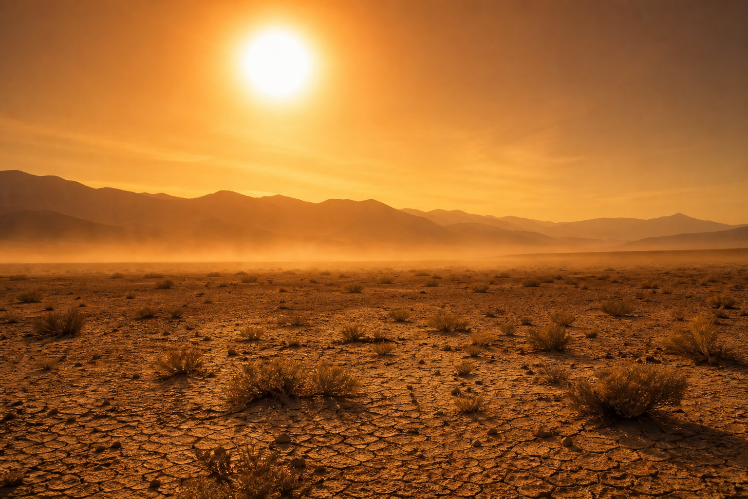
A heat dome pushed temperatures to 112 degrees Fahrenheit across Arizona and California in March 2026, shattering records and rewriting what scientists thought was possible for early spring. Fourteen states broke temperature records in a single week. The World Weather Attribution group found that without human-caused climate change, this event would have been virtually impossible. Here is the science behind heat domes, and what to do when one parks over your city.
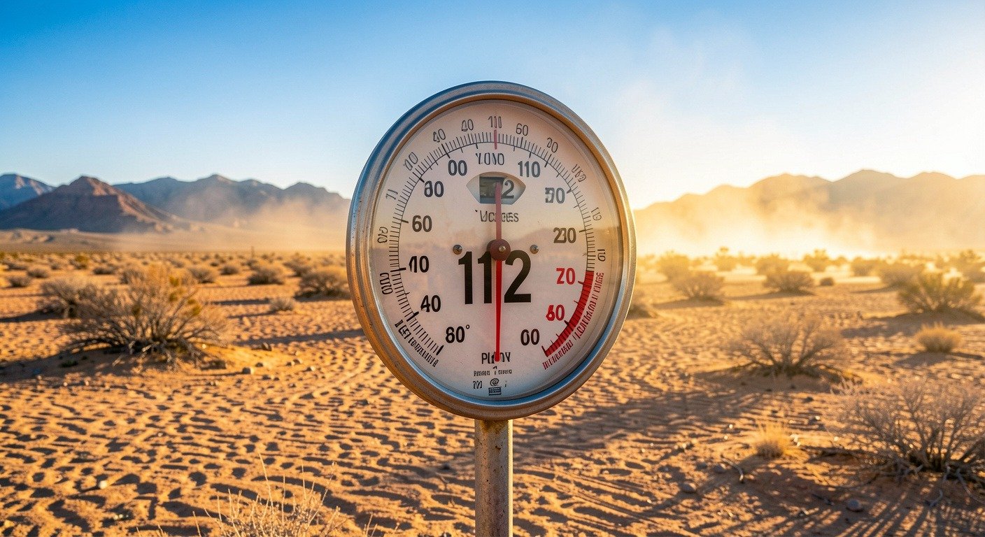
Phoenix felt like Death Valley. The Tohono O’odham Nation in southern Arizona issued an extreme heat warning, something usually reserved for midsummer. This was not just a hot day. It was a textbook heat dome. And if you have been hearing that term more and more, there is a reason.
What Exactly Is a Heat Dome?
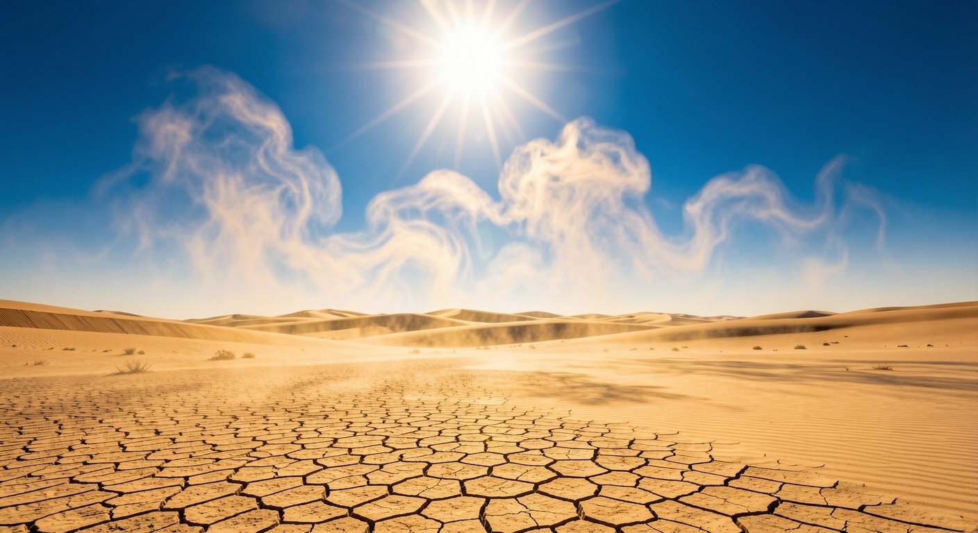
Think of a heat dome like a lid on a pot. When you put a lid on boiling water, the steam cannot escape. The heat gets trapped inside. The same thing happens in the atmosphere.
A heat dome forms when a strong area of high pressure parks itself over a region and refuses to move. This high-pressure system acts like a cap, it traps hot air underneath and prevents clouds and rain from forming.
Normally, hot air rises, cools, and eventually produces rain. But under a heat dome, the sinking air from above acts like a giant hand pushing down. The air compresses, gets even hotter, and cannot escape. Day after day, the heat builds.
Weather experts call the most extreme version a death ridge, a massive area of high pressure that can push temperatures 20 to 30 degrees Fahrenheit above normal.
How the 2026 Heat Dome Broke the Rules
What made the March 2026 heat dome so remarkable was not just the temperature, it was the timing. March in the American Southwest is supposed to be pleasant. Average highs in Phoenix hover around 80 degrees F. Tucson sees the mid-70s. It is the kind of weather that draws spring breakers and baseball fans.
Instead, temperatures soared 11 to 17 degrees C (20 to 30 degrees F) above average across parts of California, Nevada, and Arizona. The World Weather Attribution group, an international team of scientists who study extreme weather, ran the numbers.
“Human-caused climate change added 4.7 to 7.2 degrees F (2.6 to 4.0 degrees C) to the observed temperatures. Without that extra push from a warming planet, the event would have been virtually impossible.”
World Weather Attribution, March 2026 Heat Dome Analysis
By May, the heat dome had expanded even further. The Washington Post reported 22 states under extreme heat warnings, with 61 million people facing temperatures above 90 degrees F and 11 million expected to cross 100 degrees F.
Heat Dome by the Numbers: March 2026
| Metric | Value |
|---|---|
| Peak temperature | 112 degrees F (44.4 C) |
| Above normal | 20-30 degrees F above average |
| Climate change contribution | 4.7-7.2 degrees F added |
| States with broken records | 14 in a single week |
| May expansion | 22 states, 61 million people affected |
| Heat deaths (US annual) | More than hurricanes, tornadoes, floods combined |
Why Heat Domes Are Getting Worse
Heat domes are not new. The 2021 Pacific Northwest heat dome killed hundreds and shattered records in Portland and Seattle, cities where many homes do not even have air conditioning.
But three things are making them more frequent and more intense:
- The baseline is warmer. Global average temperatures have risen about 1.2 degrees C since pre-industrial times. Every heat wave now starts from a higher starting point.
- The jet stream is behaving differently. Some research suggests Arctic warming is weakening the jet stream, the fast-moving air current that steers weather systems. A weaker, wobblier jet stream means high-pressure systems can get stuck for longer periods.
- Dry soil makes it worse. When the ground is already dry, there is less moisture to evaporate. Without evaporation, there is less cooling. The land heats up faster, and the dome feeds on itself. Read our drought coverage for more on this feedback loop.
Scientists at Phys.org noted in May 2026 that we are getting more heat waves because it is getting hotter, and because of that we also pick up more heat domes. The phenomenon itself is not changing, the background temperature is.
What a Heat Dome Means for You
Heat is the deadliest weather event in the United States. It kills more people every year than hurricanes, tornadoes, and floods combined. During a heat dome event, these risks multiply because the heat does not let up overnight. There is no recovery period.
Here is what to do when a heat dome settles over your area:
- Hydrate before you feel thirsty. By the time you are thirsty, you are already behind. Water is best. Skip alcohol and caffeine when temperatures spike.
- Stay inside between 10 AM and 4 PM. These are the peak heating hours. If you must be outside, take frequent breaks in the shade.
- Know the signs of heat illness. Heavy sweating, dizziness, nausea, and muscle cramps are early warning signs of heat exhaustion. If it progresses to hot, dry skin and confusion, that is heat stroke. Call 911 immediately.
- Check on the vulnerable. Elderly neighbors, young children, pregnant women, and people with chronic conditions are at the highest risk. A quick check-in can save a life. Ready.gov has a full extreme heat preparedness guide.
- Cool your space efficiently. Close blinds on sun-facing windows. Use fans to circulate air. If you do not have AC, visit a public cooling center. Many cities open them during extreme heat events.
The Bottom Line
A heat dome is simple physics: high pressure traps hot air, and the longer it sits, the hotter it gets. But simple physics has real consequences. The 2026 heat dome was not just a record-breaker, it was a warning shot. For a broader look at how heat domes connect to other extreme weather, read our complete heat dome science guide.
Understanding what is happening in the atmosphere does not just satisfy curiosity. It helps you prepare. It helps you protect yourself and the people around you. Because when the next heat dome parks over your city, you will know exactly what you are dealing with.

Written by NatureWeatherHub, your simple guide to weather, nature, and the planet.
Sources: World Weather Attribution; The Washington Post Climate; Phys.org; Ready.gov Extreme Heat; NWS Heat Safety.