Reading time: 6 minutes | Assam, India, July 25, 2026
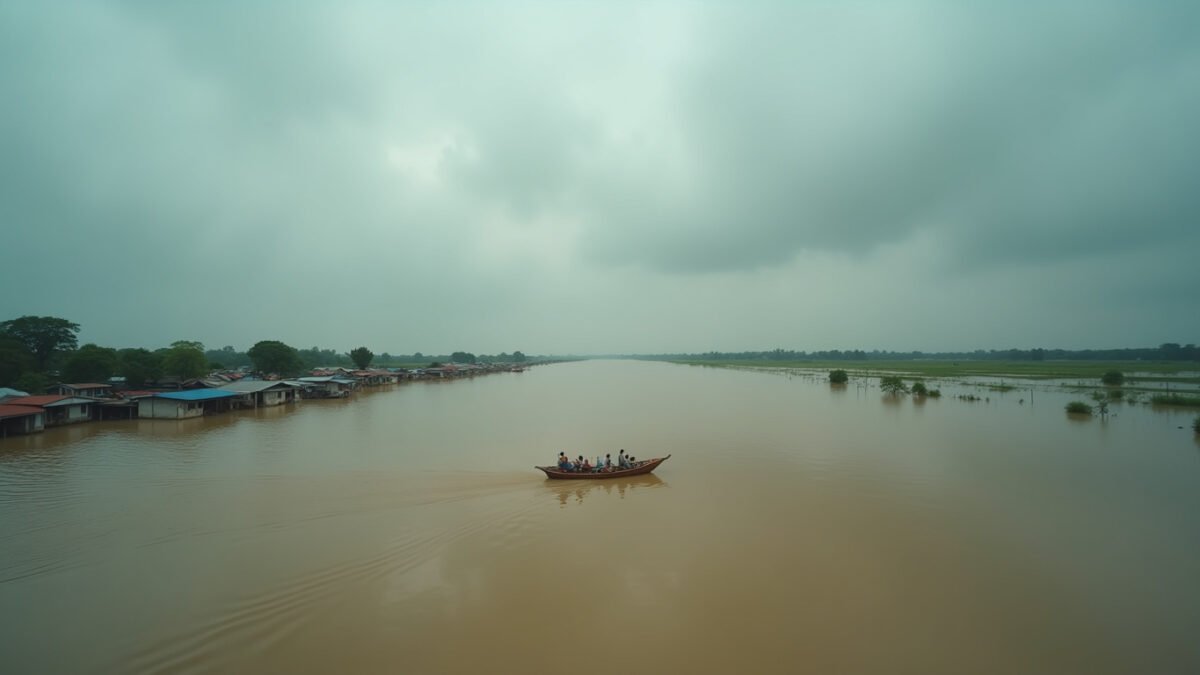
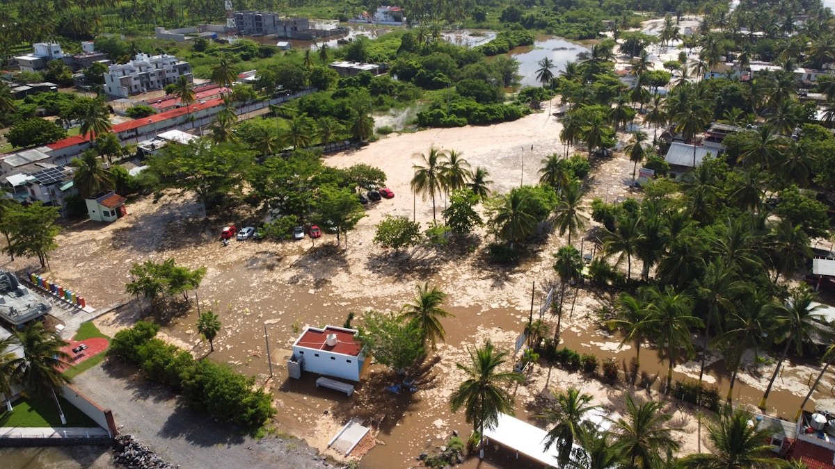
The Brahmaputra River swallowed the village of Teok in a single night. By morning on Friday, July 24, 2026, a man waded chest-deep through brown water toward what remained of his home, a tin roof barely visible above the surface. He was one of 700,000 people in India’s northeastern Assam state suddenly without a dry place to stand. The Assam floods 2026 have now killed at least 50 people, and the monsoon is not finished.
What Happened: 872 Villages Underwater in 16 Districts
Days of relentless monsoon rain pushed the Brahmaputra River past its danger mark across every gauge in Assam. The river, one of Asia’s largest, originates in China’s Tibet region and flows roughly 900 kilometers (560 miles) through Assam before emptying into the Bay of Bengal. When it overflows, it does not trickle. It claims entire districts.
According to the Associated Press, officials confirmed 50 deaths and 700,000 displaced as of July 24. The Assam State Disaster Management Authority reported 872 villages submerged across 16 of the state’s 35 districts. More than 300,000 people have crowded into government-run relief camps, schools and community halls converted into temporary shelters where families sleep on thin mats inches above the rising water.
In Nagaon district alone, 241,000 people were affected and 5,174 hectares of crop area were destroyed, according to Additional Deputy Commissioner Udayaditya Gogoi, who told ANI News that 30 relief camps had been opened with rescue operations ongoing.
The death toll climbed sharply in a single 24-hour window. On July 22, The Week reported 21 people killed in just one day, with more than 564,000 people displaced at that point. Two days later, the numbers had swollen to 50 dead and 700,000 displaced as floodwaters continued to rise.
Why It Happened: A River That Builds and Breaks
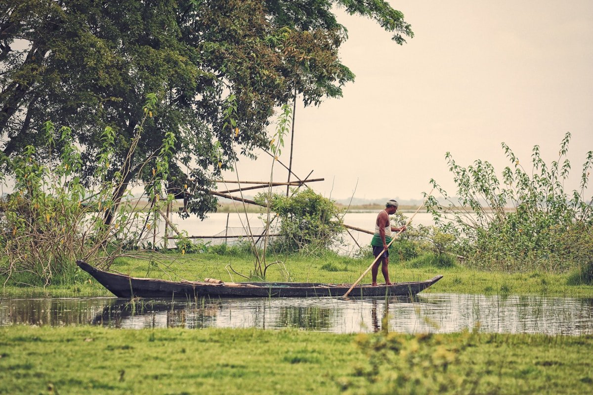
The Brahmaputra is often called Assam’s lifeline, and the description is literal. The river deposits nutrient-rich silt that makes Assam’s tea estates and rice paddies among the most productive in the world. But the same geography that makes the Brahmaputra a giver also makes it a taker. The river drains the eastern Himalayas, carrying meltwater from glaciers and monsoon rain through a narrow valley. When the monsoon intensifies, the river rises fast and spreads wide, flooding is not a malfunction of this system. It is the system.
Assam floods every year. What distinguishes 2026 is the intensity and concentration of the rainfall. The India Meteorological Department issued red, orange, and yellow alerts across multiple states, warning of active monsoon conditions lasting three to four more days. The rainfall is not heavier overall, it is arriving in shorter, more violent bursts. A hillside that absorbs two days of steady rain collapses under six hours of concentrated downpour. This shift from steady to burst rainfall is a pattern climate scientists have been documenting across South Asia for more than a decade.
The Himalayan monsoon emergency of 2026 is not limited to Assam. India Today reported that more than 120 people have been killed across Himalayan and northeastern states over the past few weeks. Flash floods and landslides have struck Jammu and Kashmir, Himachal Pradesh, and Nagaland. Assam alone accounts for nearly half of those deaths. Across the border in China, the same burst-rainfall pattern triggered a deadly landslide in Chongqing in July, burying homes while rescue teams searched the rubble.
How It Affects People: Three Walls of Water
The human impact of the Assam floods 2026 unfolds across three dimensions: immediate survival, livelihood collapse, and the long erosion of home.
Health and survival. Floodwater in Assam is not clean. It carries sewage, agricultural chemicals, and carcasses of drowned livestock. Waterborne diseases, cholera, typhoid, hepatitis A, spread through relief camps where 300,000 people share limited latrines. Children under five are the most vulnerable. In previous Assam flood seasons, diarrhea and respiratory infections accounted for more post-flood deaths than drowning itself.
Food and farming. Assam is an agricultural state. Rice paddies, tea estates, and vegetable farms are now underwater. The 5,174 hectares of destroyed crops in Nagaon are a fraction of the total. When floodwater recedes, it leaves behind sand and silt that can render fields unusable for multiple planting seasons. A farmer who loses this year’s rice harvest also loses the seeds for next year. Food prices in Assam’s markets have already begun to climb.
Homes and displacement. For 700,000 people, home is now a relief camp cot or a relative’s floor in a higher-elevation town. Many of the displaced come from char-chaporis, the river islands of the Brahmaputra, where homes are built on shifting sandbars. These communities are indigenous to the river. They know its rhythms. But when the water rises higher than any living memory, rhythm becomes chaos. Assam Chief Minister Himanta Biswa Sarma confirmed that those in relief camps are receiving food and essential supplies, but the scale of displacement means aid can only stretch so far.
The Wildlife Toll: Kaziranga’s Drowning
Kaziranga National Park, a UNESCO World Heritage Site and home to the world’s largest population of one-horned rhinoceroses, is drowning alongside the people of Assam. BBC News reported that more than 130 wild animals, including at least six rare one-horned rhinos, have died in the flooding. By July 24, the Assam Forest Department confirmed 159 animal deaths including nine rhinos. Sixty-one forest camps inside the park are underwater, forcing animals to migrate across National Highway 715, a dangerous crossing where speeding vehicles and poachers both wait.
The image of a rhinoceros swimming for high ground while trucks barrel past on a national highway captures something essential about the Assam floods. Humans and animals share the same rising water. The same geography that made Kaziranga a biodiversity refuge, the Brahmaputra floodplain, now makes it a trap.
Why It Matters: The Monsoon That Keeps Changing Shape
What is happening in Assam is part of a larger pattern reshaping monsoon Asia. The Assam floods 2026 are not an isolated disaster Down to Earth daily weather tracker documented simultaneous flood emergencies across multiple Indian states, all under red, orange, and yellow alerts. The monsoon is not delivering more total rainfall, in some regions, it is delivering less. But the rain that does fall arrives in concentrated bursts that overwhelm drainage systems, river embankments, and hillside stability all at once.
This is a global phenomenon with local consequences. From the hillsides that gave way at dawn across Asia to the flash floods that climbed porch steps in West Virginia, the same pattern repeats: less predictable, more destructive water. Assam’s 700,000 displaced are not an isolated disaster. They are a data point in a global flood season that is rewriting evacuation plans, insurance maps, and the definition of a hundred-year flood.
For the people of Teok, Nagaon, and the 872 submerged villages of Assam, none of this global context matters tonight. What matters is the water level on the Brahmaputra gauge. What matters is whether the embankment holds. What matters is getting children, grandparents, plus a sack of rice to higher ground before the next burst of rain arrives.
Key Facts: Assam Floods 2026
- Deaths: 50 confirmed, with the toll expected to rise as waters recede
- Displaced: 700,000+ people forced from their homes
- In relief camps: 300,000+ in government shelters
- Villages submerged: 872 across 16 districts
- Crops destroyed: 5,174+ hectares in Nagaon alone
- Wildlife deaths: 159 animals including 9 one-horned rhinos at Kaziranga National Park
- River: Brahmaputra River, flowing ~900 km through Assam
- Weather: Active monsoon with red, orange, and yellow alerts for 3-4 more days
- Date: Crisis escalated July 22-24, 2026
Sources: Associated Press | BBC News | The Week | Down to Earth | India Today | ANI News