The Moment
Maria checked her phone for the fifth time in ten minutes. The radar app showed a green smear sliding toward her county, a small yellow knot forming at its center. Her daughter’s bus was due in twenty minutes. She had seen this screen a hundred times, glancing at it the way most of us do: green equals okay, red equals bad. But that yellow knot was tightening. Maria did not know the term for what she was watching. She just knew her gut said to leave now.
Every day, millions of people open a weather radar app and make split-second decisions based on colored blobs they were never taught to read. Emergency managers use the same screens to order evacuations. A contractor in Oklahoma watches for a telltale shape that means he has three minutes to get his crew underground. Learning how to read weather radar is not about becoming a meteorologist. It is about knowing whether that blob on your screen is a nuisance or a threat.
The Story
Weather radar began as a weapon. British radio operators during World War II noticed that rain produced interference on their detection screens. That interference became the foundation of Radio Detection and Ranging, radar. By the 1950s the technology had migrated to the weather bureau. Today it powers every forecast on television, every alert your phone buzzes with, and every decision an airline pilot makes about when to land.
What you are actually looking at when you open a radar app is reflectivity, the strength of the energy pulse that bounces off raindrops, hailstones, and snowflakes and returns to the dish. That strength gets measured in decibels of Z, shortened to dBZ. According to the National Weather Service, a higher dBZ number means heavier precipitation. Light blue or green, 5 to 20 dBZ, signals drizzle. Yellow, 20 to 30 dBZ, means moderate rain. Orange pushes into heavy territory at 30 to 40 dBZ. Red, 40 to 50 dBZ, tells you the rain is torrential, possibly with small hail. Magenta or purple at 50 to 60 dBZ means large hail is likely, and white or pink beyond 60 dBZ marks an extreme hail core, the kind that shatters windshields.
How to Read Weather Radar: What the Shapes Mean
Color tells you how hard it is raining. Shape tells you what the storm is doing.
You learn how to read weather radar by looking past the colors and studying the silhouette of the storm. A single rounded blob usually means a garden-variety thunderstorm, the sort that drops rain for twenty minutes and moves on, built from the same three ingredients that explain how thunderstorms form. But storms that organize into lines or curves carry specific risks that color alone cannot communicate.
A hook echo is the most famous shape on radar. It looks exactly like what it sounds like: a storm cell with a hook-shaped appendage curling back into itself. That hook marks where a rotating updraft, a mesocyclone, is pulling precipitation into a spiral. A confirmed hook echo on radar triggers tornado warnings. When you see one on your screen while interpreting the display, you are not just seeing heavy rain. You are seeing rotation that can drop a funnel at any moment, the same kind of rotating supercell that scientists track to understand what causes a tornado.
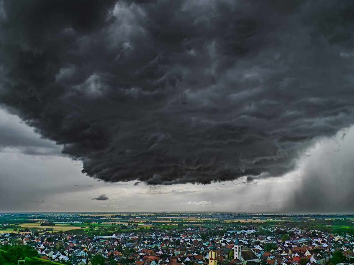
A bow echo is the other shape that demands attention. It forms when a line of thunderstorms bows outward, pushed by cold air surging ahead of the storm. Bow echoes produce derechos, walls of straight-line wind reaching 100 miles per hour. A bow echo flattens everything across a front dozens of miles wide. During the August 2020 Midwest derecho, a single bow echo traveled 770 miles in 14 hours, destroying homes from South Dakota to Ohio.
Modern radar adds another dimension through dual-polarization technology, or dual-pol. Traditional radar sends one horizontal pulse. Dual-pol sends both horizontal and vertical pulses, letting meteorologists identify what is actually falling. The NWS dual-polarization program uses this to distinguish rain from hail from debris. Raindrops flatten into pancakes as they fall. Hailstones tumble chaotically. Snowflakes have their own signature. During the 2019 Dallas tornado, dual-pol radar detected a debris ball, a low correlation coefficient combined with high reflectivity, confirming the tornado was on the ground and lofting building materials thousands of feet into the air.
The velocity mode on your radar app uses color differently. Red indicates wind moving away from the radar tower. Green shows wind moving toward it. A tight couplet of bright red pressed against bright green means rotation. Meteorologists call that a velocity couplet, one of the strongest radar signatures of a possible tornado.
The Meaning
Knowing how to read weather radar changes what you do with the information your phone already gives you.
For travel, the difference between postponing a drive and going comes down to interpreting the radar correctly. A line of green with no embedded yellow or orange cores is a nuisance, not a hazard. A broken line of red cells moving at 40 miles per hour means you have a narrow window. Watch the animation for thirty seconds. If the cores are intensifying, wait. If they are weakening, go.
For safety, radar shapes create urgency. You see a bow echo approaching your town, and you know that is not a thunderstorm but a wind event that will arrive suddenly. You get off the road. You move away from windows. The same radar screen you check for rain can tell you when to take shelter.
For communities, radar literacy distributes preparedness. Emergency managers study velocity couplets to decide when to sound sirens. School superintendents check signatures before canceling outdoor activities. Farmers watch reflectivity to time planting around storm windows. When the public reads the same basics, the warning system moves faster. You do not wait for a push alert to know something is wrong.
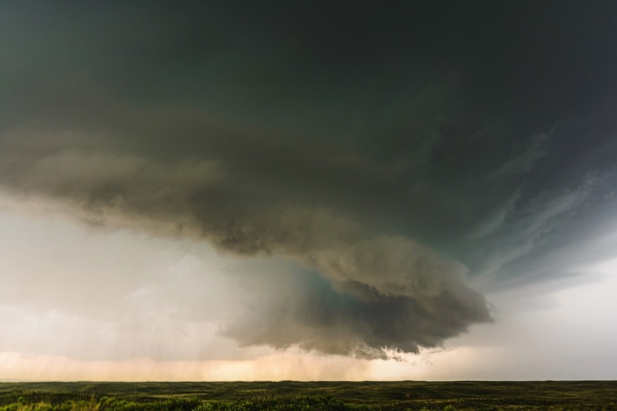
For work, outdoor laborers, construction crews, utility linemen, and event staff all depend on radar to make hour-by-hour calls. A foreman in Texas watches the transition from orange to red. That transition is his signal to pull workers off scaffolding. He may not know the dBZ reading. He knows orange means keep watching and red means stop.
The Resonance
The radar image on your phone is a conversation between a dish and the sky. That dish sits on a tower somewhere, spinning slowly, sending pulses of energy at the speed of light. Each pulse travels miles upward, strikes a raindrop or hailstone, and returns with a message about what it found. Your screen translates that message into a map of color and motion.
You do not need to memorize the dBZ scale or distinguish every dual-pol signature. You need three things. Green means rain. Red means heavy. Shape tells you the story behind both. A hook means tornado, a bow means wind, and a tight red-green couplet in velocity mode means rotation. Those five signals, learned in two minutes, turn a blob of color into something you can actually use.
The next time you open your radar app, you will not just see a green smear approaching. You will see whether it is strengthening or weakening, whether its shape is ordinary or alarming. Maria learned that in real time, watching a yellow knot tighten on her screen. She left early, picked up her daughter, and pulled into the garage just as hail started drumming on the roof. She did not need a meteorology degree. She needed to know what the shape was telling her.