The Moment
On May 20, 2013, Kelsey Bridgewater rushed to Plaza Towers Elementary School in Moore, Oklahoma, as the sirens wailed and the sky drained to an unnatural green. Minutes later, an EF5 tornado erased entire blocks of the town and struck the school directly, killing seven children inside. What causes a tornado to concentrate that much violence into a single narrow path has driven meteorologists to chase storms across the Great Plains for decades.
The Story
The United States records roughly 1,000 tornadoes every year. No other country comes close. Canada places a distant second at around 100. The question of what causes tornadoes to form sits at the center of an entire branch of atmospheric science.
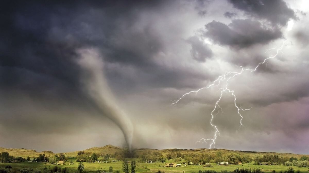
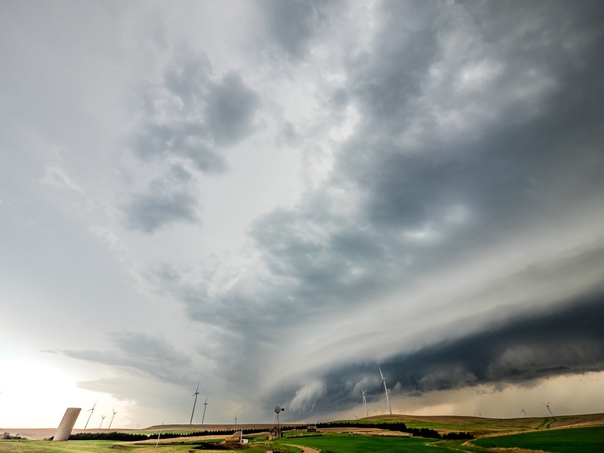
Tornadoes do not appear at random. They arrive inside supercell thunderstorms. These rotating storm systems can reach 60,000 feet into the atmosphere. The supercell is the engine. The tornado is the exhaust. To understand what causes a tornado, forecasters look for four specific ingredients. Each one must arrive at exactly the right moment.
The deadliest tornado in American history made this brutally clear. On March 18, 1925, the Tri-State Tornado carved a 219-mile path through Missouri, Illinois, and Indiana. It stayed on the ground for three and a half hours. When it finally lifted, 695 people were dead. The storm had traveled at highway speeds. Entire mining towns disappeared from the map. Meteorologists at the time had no framework for what they were seeing. The four-condition model that forecasters now rely on was still decades away.
The Science Behind What Causes a Tornado
Condition 1: Warm Moist Air at the Surface
A tornado needs fuel. That fuel is warm, humid air sitting near the ground. Think of it this way. You see steam rising from a hot cup of coffee on a cold morning. The warm air wants to rise through the cooler air above it. Now scale that up to a geographic level. When the Gulf of Mexico pumps soupy, low-level moisture into the central United States each spring, the atmosphere becomes a loaded spring. Meteorologists call this instability. The bigger the temperature and moisture difference between the surface and the air a few thousand feet up, the more explosive the potential becomes.
The NOAA Storm Prediction Center monitors this instability daily. Their forecasters draw maps of what they call CAPE. It stands for Convective Available Potential Energy. A summer thunderstorm might fire with CAPE values under 1,000. A tornadic supercell often needs values above 3,000. On May 20, 2013, the atmosphere above Moore, Oklahoma, registered CAPE values exceeding 4,000. The spring was loaded.
Condition 2: Wind Shear
Warm air rising is not enough on its own. You also need the wind to change speed and direction with height. This is wind shear. The NOAA National Severe Storms Laboratory describes wind shear as the single most important of all tornado formation conditions. Without it, a thunderstorm might produce heavy rain and lightning. It will not spin.
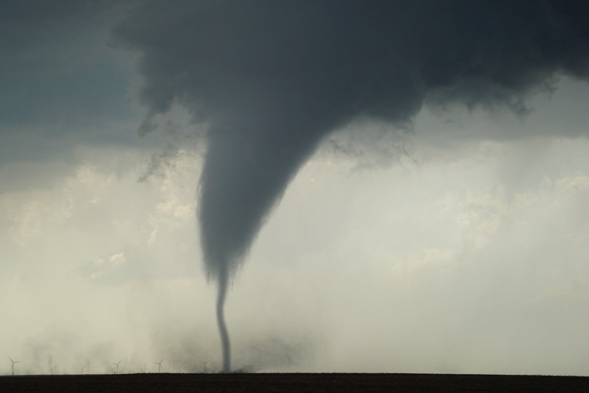
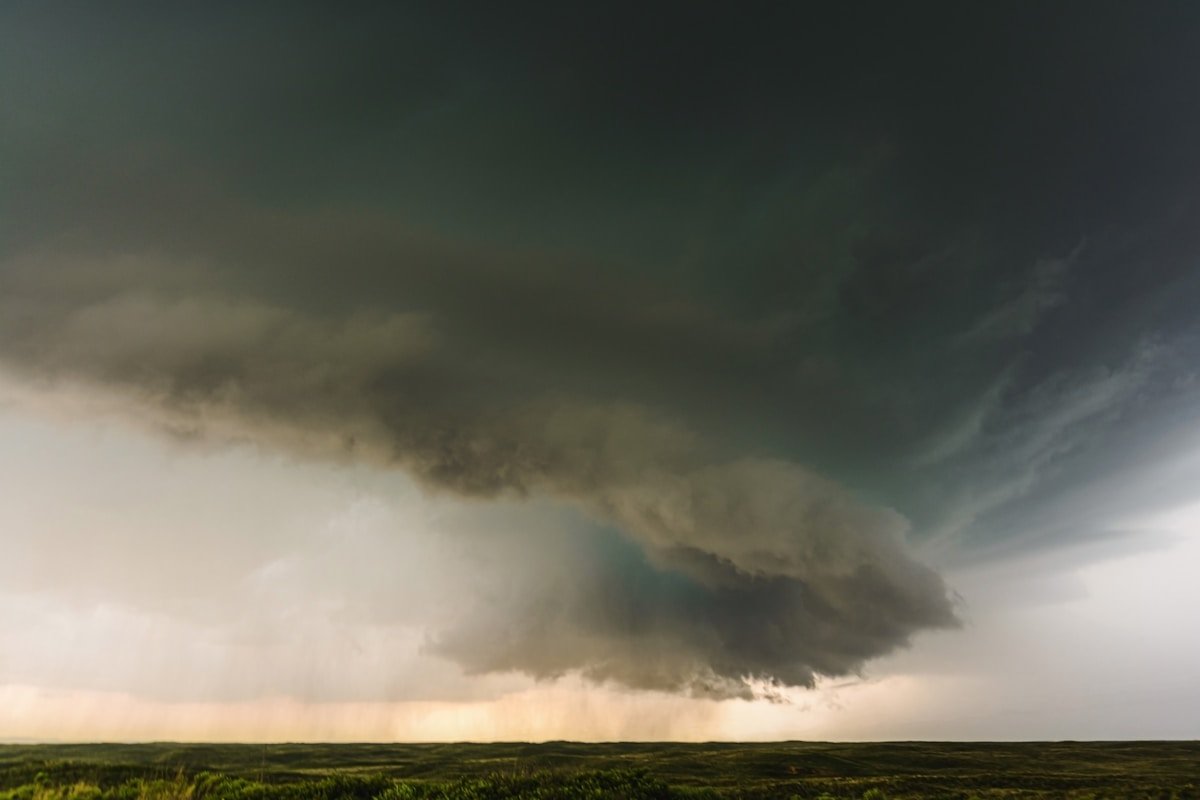
Picture a paddle wheel held horizontal. Wind at the surface blows from the south at 10 miles per hour. Wind at 20,000 feet blows from the west at 80 miles per hour. That difference in speed and direction rolls the air like the paddle wheel turning. The rolling tube of air gets tilted upright by the thunderstorm’s updraft. Now the entire storm is rotating. Forecasters call this rotating supercell a mesocyclone. It can stretch five miles across. Every significant tornado in recorded history has formed inside one.
Condition 3: A Trigger to Lift
You have fuel. You have spin. You still need something to set it off. Forecasters call this the trigger. A cold front sweeping across the Plains does the job. So does a dryline. The dryline is a boundary where desert air from the Southwest slams into Gulf moisture. Texas and Oklahoma see this boundary sharpen almost every May afternoon.
The trigger forces the warm surface air upward. It punches through the cap of warmer air that was holding it down. Once that cap breaks, the updraft accelerates. The National Weather Service compares it to removing the lid from a boiling pot. The rising column feeds the mesocyclone. Inside that column, the pressure drops rapidly. A funnel cloud forms. When it touches the ground, it becomes a tornado.
Condition 4: Rotation Reaching the Ground
The final step is the least understood. The mesocyclone is spinning five miles above your head. For a tornado to form, that rotation must tighten and descend. Scientists at the National Weather Service describe this as vortex stretching. The rotating column narrows. Its spin accelerates. This is the same physics that makes an ice skater spin faster when she pulls her arms in.
Not every mesocyclone produces a tornado. Roughly 30 percent of supercells do. The exact mechanism that pulls the rotation down to ground level remains one of meteorology’s open questions. Researchers deploy mobile Doppler radar units into the path of approaching storms. They measure wind speeds at every level of the atmosphere during those critical seconds when a funnel descends. Each intercept yields a few more pieces of the puzzle.
Measuring What Hits the Ground
The Enhanced Fujita Scale rates tornadoes from EF0 to EF5 based on the damage they leave behind. An EF0 snaps tree branches. An EF5 sweeps well-built houses clean off their foundations. The 2013 Moore tornado registered EF5. Wind speeds inside the funnel likely exceeded 210 miles per hour. Survey teams found asphalt stripped from roads. They found a 2-ton oil tank thrown nearly a mile.
The Meaning
The conditions that produce tornadoes are not staying where they used to. Tornado Alley is shifting east. Since the 1950s, tornado activity has migrated 400 to 500 miles away from the traditional Plains corridor. Strong tornadoes have more than doubled in what researchers now call Dixie Alley. This is the stretch from Louisiana through Mississippi, Alabama, and into Tennessee. Understanding what causes a tornado has taken on new urgency as the risk map redraws itself. The shift has real consequences. Homes in the Southeast sit closer to tree lines that block visibility. Basements are less common in the clay-heavy soil. Tornadoes in this region are more likely to strike at night.
The human cost ripples through multiple systems. Homes take the most visible damage. Moore rebuilt after 2013. More than 1,100 homes were destroyed. Some families chose to leave. Others poured new foundations on the same lots. Insurance claims from a single EF5 tornado can exceed $2 billion. That number continues to rise as construction costs climb in tornado-prone corridors. Emergency managers have revised their approach since Moore. The school district now requires storm shelters in every new building. At Plaza Towers Elementary, rebuilt on the same ground, a reinforced safe room can hold every student and teacher on campus.
How tornadoes form and where they strike most often is a question that now matters to millions of people who did not grow up watching the sky turn green. The Dixie Alley shift means communities with no living memory of a major tornado are now inside the new high-risk zone.
The Resonance
The four conditions are not a checklist nature ticks through politely. They are a collision. Two great rivers of air meet over the middle of the country each spring. The Gulf sends its humid breath north. The Rockies send cold dry air barreling east. When these rivers cross at the right angle with the right timing, the atmosphere organizes itself into the most efficient engine of destruction in the natural world.
The same physics that spins a tornado has been spinning them for millions of years. The Tri-State Tornado of 1925 was not a fluke. Moore in 2013 was not an anomaly. They were the same equation solved twice under slightly different starting conditions. Forecasters now see the signature on radar twenty minutes before the funnel touches down. Twenty minutes is enough time to pull children from their desks and move them into reinforced hallways. It is not enough time to stop the storm. That is what makes the question of what causes a tornado more than a scientific curiosity. It is a question that, answered correctly and fast enough, saves lives.