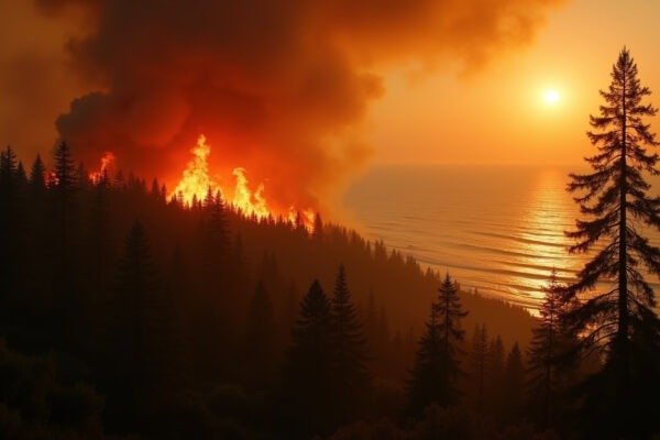
On Tuesday night, July 21, 2026, Carla Jenkins stood on her front porch in Buckhannon, West Virginia, watching the water climb. It had been raining for hours. The Buckhannon River, usually a lazy summer stream, had turned into something else entirely. By midnight, the water was at her doorstep. By 2 a.m., it was inside her living room. Across central West Virginia, thousands of people were living the same nightmare.
The West Virginia flash floods of July 2026 triggered a statewide emergency that deployed hundreds of National Guard troops, submerged entire towns, and forced dozens of dramatic water rescues. In less than 48 hours, parts of the state received up to 7 inches of rain. Rivers that had been at their summer lows surged past flood stage in hours, not days.
What Happened in West Virginia
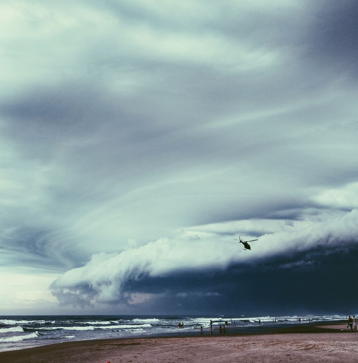
The flooding began Tuesday, July 21, as a line of training thunderstorms parked itself over central and northern West Virginia. Training thunderstorms are storms that move repeatedly over the same area, like train cars passing over the same section of track. (To understand how a single storm can drop this much water, see our explainer on how rain forms.) Each storm cell drops its rain on ground that is already saturated, and the water has nowhere to go.
According to CBS News, Governor Patrick Morrisey declared a state of emergency for all 55 counties on Tuesday night. The declaration covered flash flooding, landslides, road closures, and other storm damage. By Wednesday morning, the governor had deployed 100 National Guard members to the hardest-hit areas. An additional 200 troops were expected to arrive by late Wednesday.
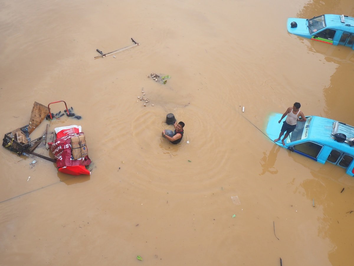
The town of Buckhannon in Upshur County became the epicenter of the disaster. The West Virginia MetroNews reported that flooding reached “unprecedented levels,” with emergency crews performing dozens of water rescues from submerged vehicles and flooded homes. Some rescuers could not reach locations where floodwaters had cut off all road access.
The Guardian reported that at least two people remained unaccounted for in Upshur County as of Wednesday, July 23. Search operations continued as waters slowly receded. Remarkably, as of Thursday, no deaths had been confirmed. The absence of fatalities amid such catastrophic flooding speaks to the effectiveness of early warnings and the rapid deployment of rescue teams.
Why Appalachia Floods So Severely
West Virginia sits at the heart of Appalachia, a region that a Washington Post investigation identified as one of the world’s worst hotspots for extreme rainfall and flash flooding. The reason is a combination of geography and meteorology that makes the landscape uniquely vulnerable.
The mountains themselves are the first factor. When moisture-laden air masses from the Gulf of Mexico collide with the Appalachian range, the mountains force the air upward. Rising air cools and condenses. The result is what meteorologists call orographic lift: the simple physics of a mountain wringing water out of the sky. Add a stalled frontal boundary, and the storms have no reason to leave.
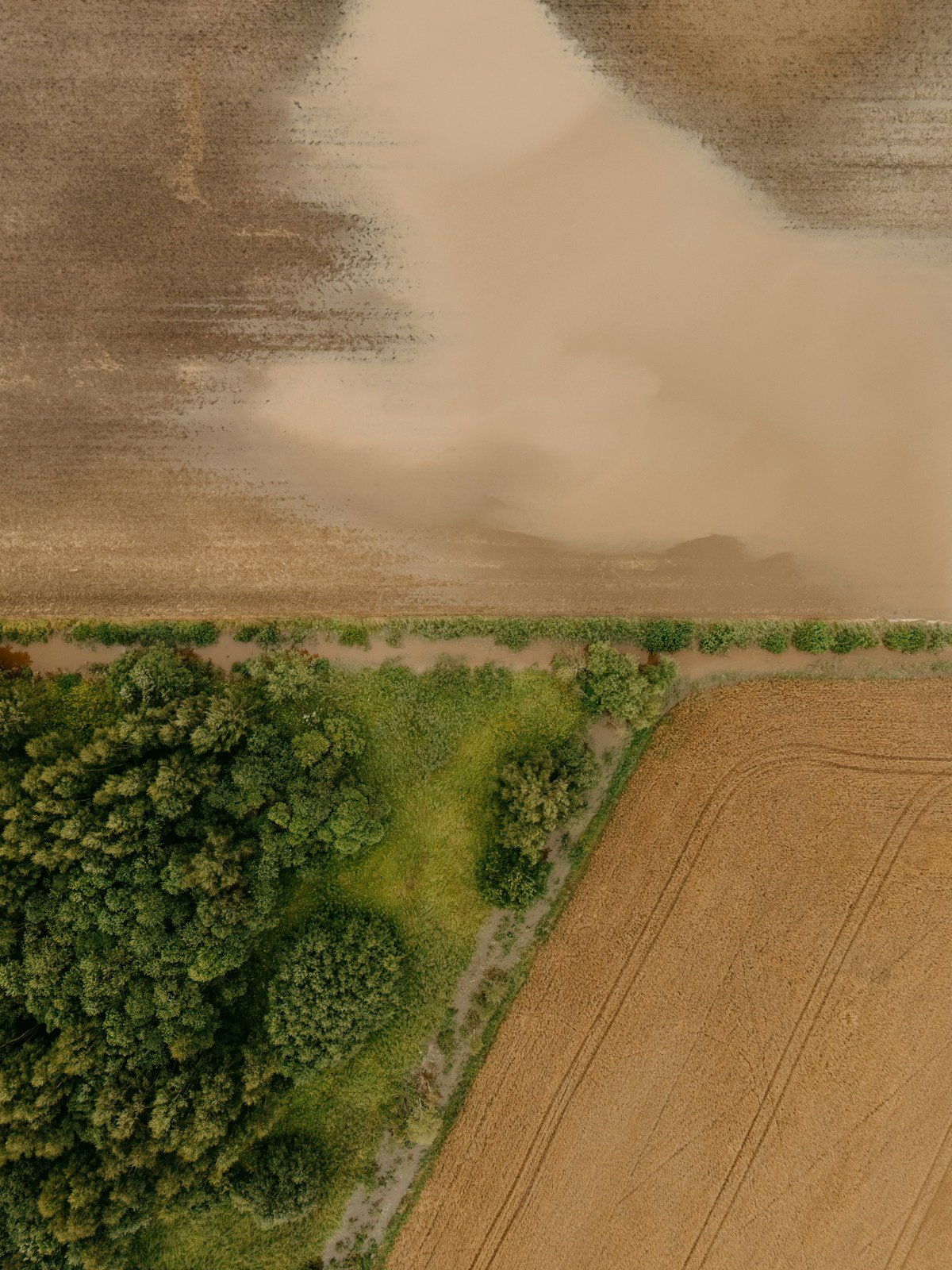
The second factor is the terrain itself. West Virginia’s steep, narrow valleys funnel water into rivers that rise with shocking speed. There is no broad floodplain to absorb the overflow. The water has only one direction to go: up. A river that is ankle-deep at sunset can be chest-deep by midnight. This is why flash floods kill more people in the United States each year than tornadoes or hurricanes, according to the National Weather Service.
Climate change is making these floods worse. According to West Virginia Watch, the amount of rainfall that falls in the first hour of a storm has increased by roughly 30% across the region over the past three decades. A warmer atmosphere holds more moisture. When that moisture is released, it comes down harder and faster than the landscape was built to handle.
How West Virginia Flash Floods Affected People in July 2026
The flooding reached into every dimension of daily life across central and northern West Virginia. Homes were inundated with mud and river water. Businesses in downtown Buckhannon and Weston saw their storefronts submerged. Bridges washed out, cutting entire communities off from emergency services. Roads became rivers.
For families in Upshur County, the damage is measured in lost possessions and lost security. A flooded home is not just wet. It is contaminated with sewage, fuel, and debris. The smell lingers for weeks. Mold sets in within 48 hours. Insurance claims will take months, and for many families in one of America’s poorest states, there is no flood insurance at all.
Emergency responders worked through the night Tuesday and into Wednesday, pulling people from cars stalled in rising water and from homes where the first floor had become a swimming pool. The National Guard’s presence meant heavy vehicles could reach areas where civilian trucks could not. For isolated mountain communities, the Guard was the difference between rescue and waiting.
Schools and businesses closed across multiple counties. The economic disruption from a flood of this scale in a rural state lasts long after the water recedes. Every day a road is closed, every day a bridge is out, is a day someone cannot get to work, a supplier cannot make a delivery, a child cannot get to summer school.
What These Floods Tell Us About the Future
The West Virginia flash floods of July 2026 are not an isolated disaster. They are part of a pattern that is rewriting flood maps across the eastern United States. Just days earlier, monsoon floods in India killed at least 41 people across Assam, Kashmir, and Nagaland. The same week, deadly landslides swept through South Korea after record rainfall. Appalachia, long considered a climate refuge because of its elevation and distance from the coast, is turning out to be one of the most flood-vulnerable regions in the country.
Aging infrastructure makes the problem worse. Many of West Virginia’s bridges, culverts, and drainage systems were built for the rainfall patterns of the mid-20th century, when a “100-year storm” was genuinely rare. Those 100-year storms are now arriving every decade. The infrastructure has not caught up.
But the story of July 2026 also contains something remarkable: a catastrophic flood across 55 counties that, as of this writing, has not claimed a single confirmed life. Early warning systems worked. Emergency declarations were issued in time. National Guard troops were on the ground within hours. The residents of Buckhannon, Weston, and a dozen other towns knew what to do when the water started rising. They moved to higher ground. They helped their neighbors. The system, strained but functional, saved lives.
For the rest of the country, West Virginia’s flood is a warning and a lesson. Flash floods can strike anywhere that steep terrain meets heavy rain. The question is not whether your community will face a flood like this. It is whether your community will be ready when it does.
Key Facts: West Virginia Flash Floods, July 2026
- Date: July 21-23, 2026
- Location: Central and northern West Virginia, worst in Upshur County (Buckhannon, Weston)
- Rainfall: Up to 7 inches in less than 48 hours
- State of Emergency: Declared for all 55 West Virginia counties by Governor Patrick Morrisey
- National Guard: 300+ troops deployed for rescues and recovery
- Rescues: Dozens of water rescues from homes and vehicles
- Missing: At least 2 people unaccounted for in Upshur County
- Fatalities: None confirmed as of July 23
- Cause: Training thunderstorms producing repeated heavy rainfall over the same areas
- Damage: Homes inundated, businesses flooded, bridges washed out, roads closed