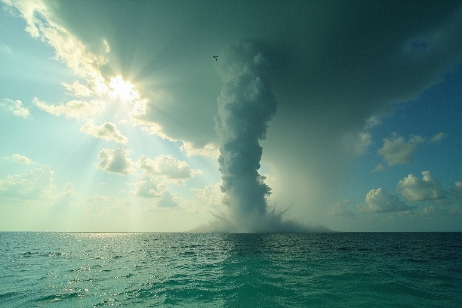
On a humid August morning off Key West, a dark spot appears on the water. Within minutes, a spinning column of mist stretches from the sea to the clouds, twisting slowly as a charter boat angles away at full throttle. The captain knows something most people do not. This is a waterspout. The Florida Keys see hundreds of them every year.
What is a waterspout? It is a spinning column of air and water mist that connects a cloud to a body of water. But the word “waterspout” actually describes two completely different phenomena, one common and usually harmless and the other a genuine tornado that happens to be sitting over water with every bit of the destructive power that makes the Great Plains twisters so feared. Knowing the difference changes everything. Knowing it could save your life.
What Is a Waterspout: The Two Types
A waterspout is a rotating column of air and condensed water vapor that extends from a cloud to the surface of a lake, sea, or ocean. Meteorologists divide the types of waterspouts into two distinct categories based on how they form: fair weather waterspouts and tornadic waterspouts.
Dr. Joseph Golden, a NOAA scientist who spent decades studying these phenomena, defined a waterspout as “a funnel which contains an intense vortex, sometimes destructive, of small horizontal extent and which occurs over a body of water.” His research, documented by the National Weather Service, established that the two types have different formation mechanisms and different lifecycles. Critically, they have different levels of danger.
The difference between a waterspout vs tornado comes down to origin: one builds from the warm water surface upward on a calm day without any connection to a thunderstorm, while the other descends from a violently rotating supercell that happened to form over the ocean instead of over Nebraska. A fair weather waterspout forms from the water surface upward on calm days with light wind. It is not connected to a thunderstorm. A tornadic waterspout forms downward from a rotating thunderstorm, either starting over water or moving from land to water. The second type is a tornado in every meaningful sense. It just happens to be over the ocean instead of a cornfield.
Is a Waterspout a Tornado?
The honest answer: it depends on the type. NOAA’s Ocean Service puts it plainly: tornadic waterspouts “are tornadoes that form over water, or move from land to water. They have the same characteristics as a land tornado.” A fair weather waterspout is not a tornado. It has no parent thunderstorm, no rotating supercell feeding it from above, and far less destructive energy.
In practice, the name changes the moment the surface changes. If a tornadic waterspout reaches shore, the National Weather Service calls it what it now is — a tornado — and issues a tornado warning for the coastline. Fair weather waterspouts usually dissipate quickly when they make landfall and rarely push far inland, according to NOAA.
| Fair weather waterspout | Tornadic waterspout | |
|---|---|---|
| How it forms | Builds upward from warm water on calm days | Descends from a rotating supercell thunderstorm |
| Parent storm | None — a line of fair-weather cumulus clouds | Severe thunderstorm with a rotating updraft (mesocyclone) |
| Wind speeds | Over 40 knots (46 mph) once a spray ring forms | Can exceed 100 mph |
| Size and lifespan | Usually under 50 yards wide; lasts 2–20 minutes | Can be hundreds of yards wide and travel for miles |
| Main hazards | Rough seas, a serious risk to small boats | Large hail, frequent lightning, destructive winds |
Fair Weather Waterspouts: The Common Kind
Fair weather waterspouts are the type most people see in photographs and viral videos. They develop on warm, humid mornings when the water is much warmer than the air above it. Light winds create a subtle spin at the water’s surface, and rising warm air pulls that spin upward into a visible column of condensed water vapor.
What Causes Waterspouts
What causes waterspouts? Three ingredients, all of which have to show up at once. Warm water heats the air directly above it, and that air rises. Moist air cools as it climbs, and its water vapor condenses into the visible funnel. And a nudge of wind — from colliding sea breezes or a passing cloud line — gives the rising column its spin. Remove any one ingredient and the spout never forms. The National Weather Service office in Key West notes that fair weather waterspouts usually develop along the dark, flat base of a line of growing cumulus clouds, away from the friction of land.
Fair weather waterspouts typically last between 2 and 20 minutes and move at 10 to 15 knots. They rarely exceed 50 yards in diameter. Because they are not associated with thunderstorms, there is no hail, no lightning. No violent downdrafts either. Most fair weather waterspouts dissipate without ever reaching land.
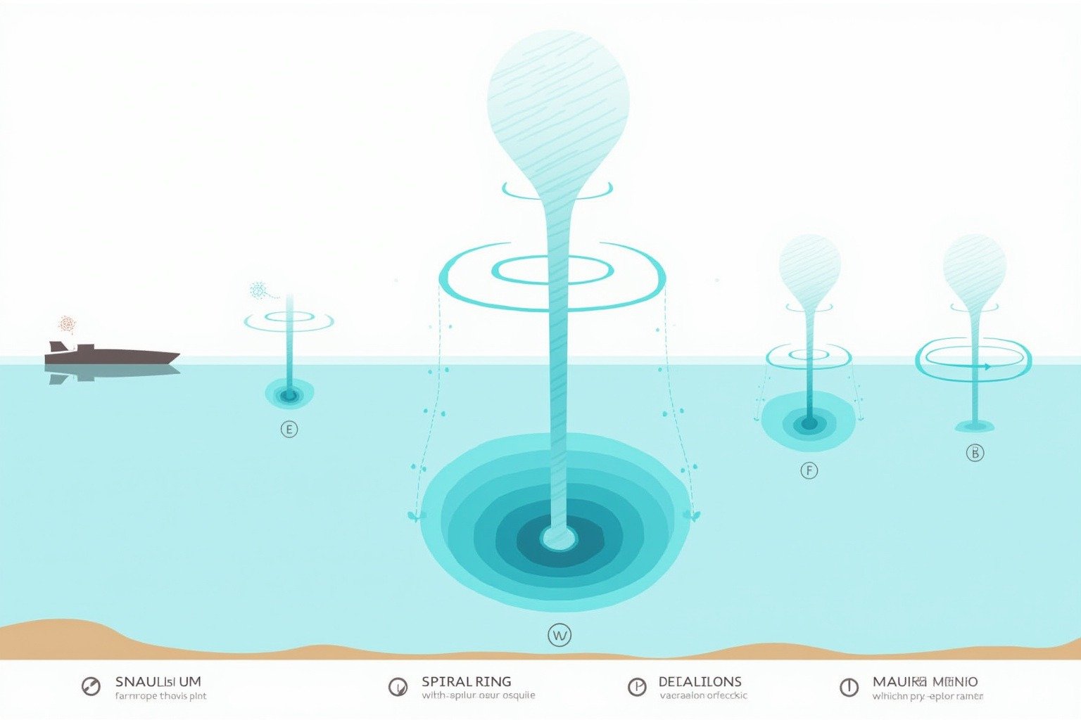
Dr. Golden identified five stages in the life of a fair weather waterspout, each one visible to an observer watching from a boat or shore. Stage one is the dark spot: a small, dark disc appears on the water surface where wind begins to spin. Stage two is the spiral pattern: light and dark bands spiral outward from the dark spot. Stage three is the spray ring. A circle of sea spray forms around the base as rotating wind picks up water. Stage four is the mature vortex: the funnel reaches its maximum size and a visible column stretches from the water to the cloud. Stage five is decay: the funnel thins, tilts, and fades as the inflow of warm air weakens.
Most waterspouts never progress past the spray ring. The ones that reach mature vortex are the photogenic columns that make headlines. And “fair weather” should not be read as “harmless.” The National Weather Service office in Key West notes that once a spray ring is present, wind speeds are already over 40 knots (46 mph) — strong enough to be dangerous to small boats. During the 1969 Lower Keys Waterspout Project, researchers measured maximum rotational winds of 165 knots (190 mph) inside a waterspout vortex.
Tornadic Waterspouts: Tornadoes Over Water
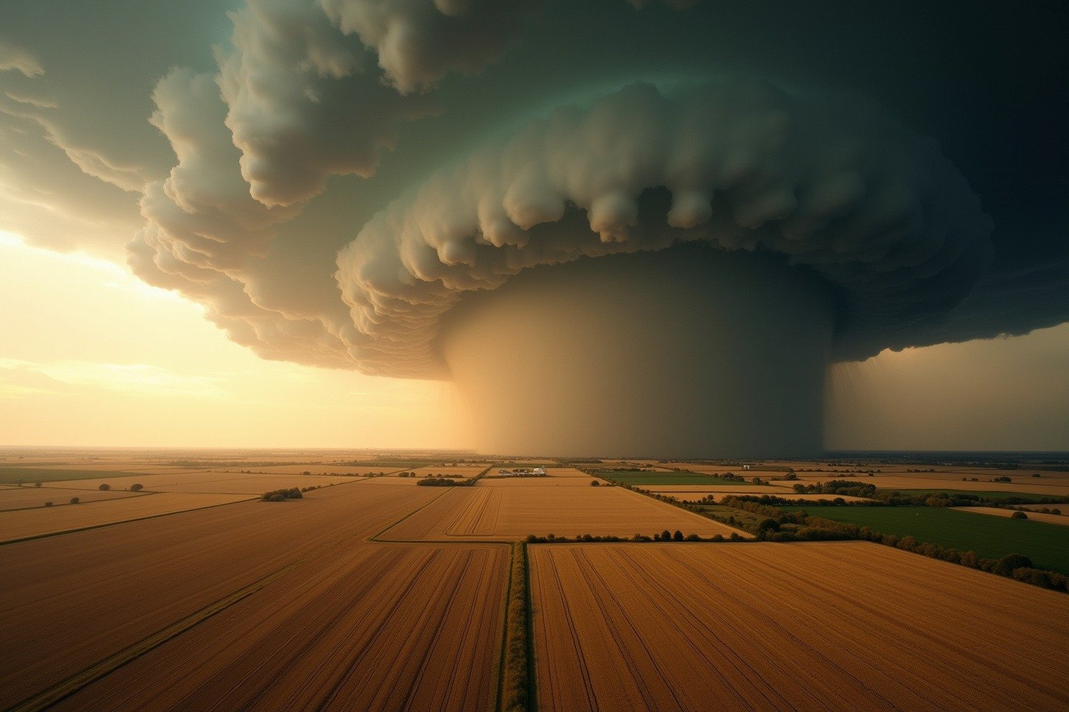
Tornadic waterspouts are true tornadoes. They form inside severe thunderstorms, either as a tornado that moves from land to water or as a tornado that develops directly over a large body of water. Unlike fair weather waterspouts that build from the surface up, a tornadic waterspout descends from the rotating thunderstorm above. This is the same formation process that creates the land tornadoes that tear through the Great Plains each spring.
What Makes a Waterspout Tornadic
A waterspout becomes tornadic when it is born inside a rotating thunderstorm. The engine is a mesocyclone — the deep, rotating updraft at the heart of a supercell, the same structure that produces the violent tornadoes of the Great Plains. Instead of building from the water surface upward, a tornadic waterspout descends from the storm’s rotating base until it connects with the sea, or it starts on land as a tornado and moves out over the water. NOAA’s Ocean Service adds that tornadic waterspouts “are associated with severe thunderstorms, and are often accompanied by high winds and seas, large hail, and frequent dangerous lightning.”
There is one practical radar difference too. The average fair weather waterspout is about 39 meters (128 feet) wide — smaller than the 280-meter (918-foot) beam of a Doppler radar, which is why the National Weather Service office in Key West says non-supercell waterspouts usually do not show up on radar at all. Supercell-driven tornadic waterspouts are typically larger, and forecasters can track them the same way they track land tornadoes.
The difference is not academic. A tornadic waterspout can carry wind speeds exceeding 100 miles per hour. It can be hundreds of yards wide. It can be accompanied by lightning, large hail, and torrential rain. When a tornadic waterspout reaches land, the National Weather Service issues a tornado warning. According to the NOAA Ocean Service, the transition from “waterspout” to “tornado” is instantaneous and semantic. The storm does not care what surface it is over.
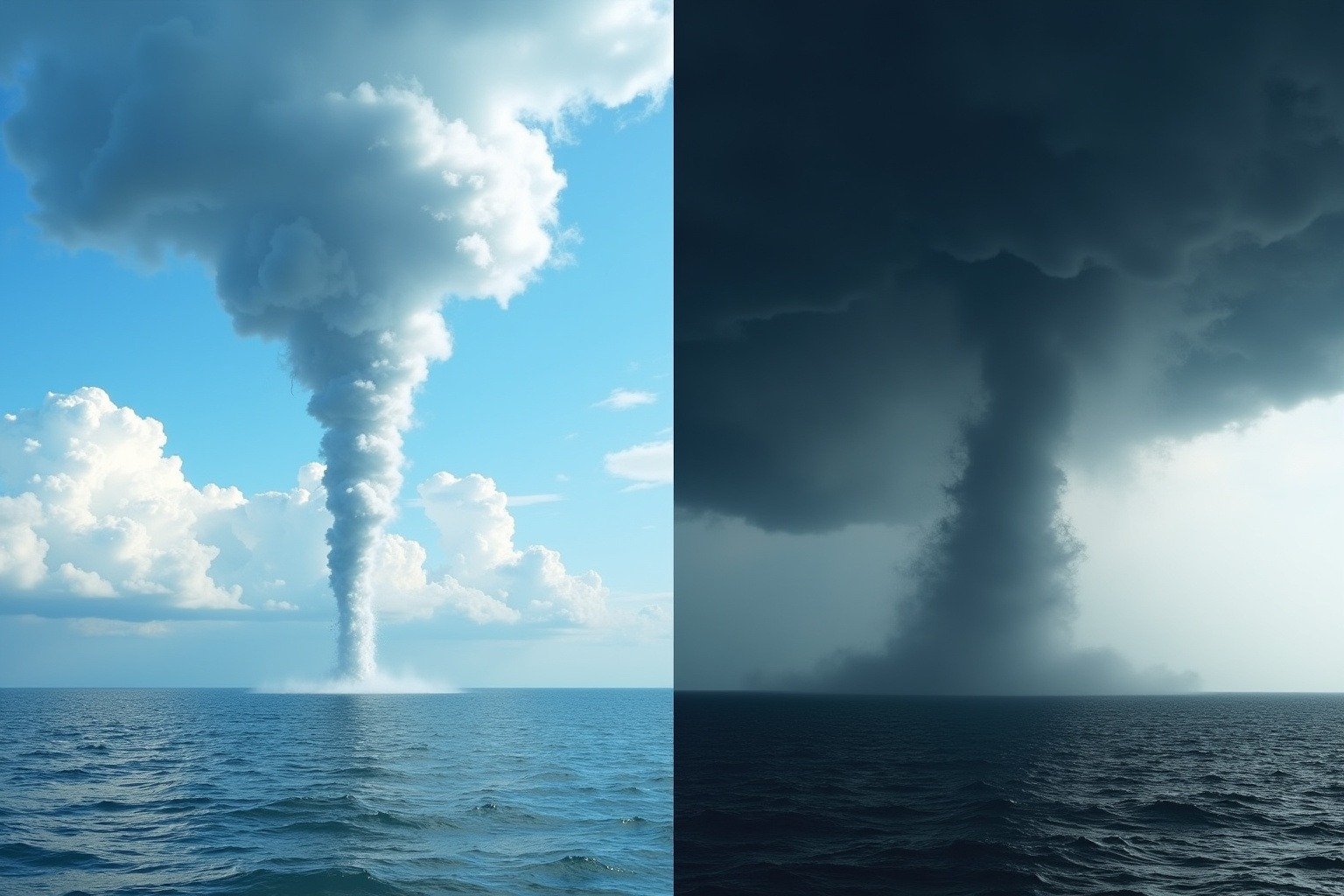
The National Oceanic and Atmospheric Administration notes that tornadic waterspouts are far less common than fair weather waterspouts, but their destructive potential is dramatically higher because they carry the full rotational energy of a supercell thunderstorm condensed into a spinning column that can obliterate anything in its path when it moves onshore.
Where Do Waterspouts Occur?
The Florida Keys: The Waterspout Capital of the World
The Florida Keys hold the title for most waterspouts of any place on Earth. The combination of warm, shallow water and daily sea breeze convergence creates near-ideal conditions from late May through September. The numbers from the National Weather Service office in Key West are remarkable: between May 2006 and September 2024, forecasters logged 1,068 waterspout reports covering more than 1,400 individual waterspouts. About 75 percent appeared between May and September, most between noon and 8 p.m. As of September 2024, there were only 121 days of the entire year on which no waterspout was reported anywhere in the Keys — and just four such days between May and September.
The Great Lakes
The Great Lakes region sees its own waterspout season from August through October, when lake water is warmest. Cold Canadian air masses sweeping across the still-warm lakes create the perfect temperature contrast. The National Weather Service in Gaylord, Michigan notes that this is when the temperature difference between cold air and warm water is at its peak. Lake Erie alone produced a verified world record on October 7, 2023, when 181 waterspouts and funnel clouds were documented over the lake in a single 24-hour period. The International Centre for Waterspout Research confirmed the count, as reported by USA Today. That is more waterspouts in one day than most locations see in a decade.
The Mediterranean and Beyond
This global distribution follows a simple rule: wherever warm water meets the right wind conditions, waterspouts appear. The Mediterranean is a reliable hotspot, especially around the western basin. A 2022 climatology published in the journal Natural Hazards documented 234 waterspout events around Spain’s Balearic Islands between 1989 and 2020, most of them in late summer and autumn. Across all of Europe, researchers estimate roughly 160 tornadoes and waterspouts are reported in a typical year. The Gulf of Mexico, the waters off Singapore, and the Australian coast also report regular waterspout activity.
Are Waterspouts Dangerous?
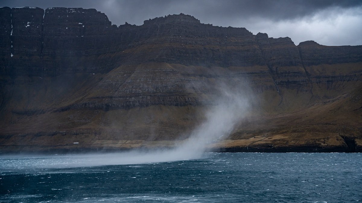
The answer depends entirely on the type. Fair weather waterspouts rarely cause significant damage because they are short-lived, narrow, and usually stay over open water. Tornadic waterspouts are a different story entirely. They carry the same destructive force as land tornadoes and can kill. There is no ambiguity here. When a tornadic waterspout approaches the coast, the National Weather Service issues a tornado warning for the affected shoreline. Residents are advised to seek shelter exactly as they would for a tornado on land.
For boaters, NOAA recommends one rule above all others: never move closer to a waterspout to investigate. The safe course is to move at a 90-degree angle to the waterspout’s apparent direction of travel. This puts maximum distance between the boat and the funnel’s path. The temptation to take a photograph is strong. The physics of a rotating column of wind is stronger.
The National Weather Service monitors waterspout risk through its near-shore marine forecasts and hazardous weather outlooks, issuing a Special Marine Warning when conditions favor waterspout formation and a Tornado Warning if a tornadic waterspout approaches the coast. Doppler radar can detect tornadic waterspouts the same way it detects land tornadoes. Fair weather waterspouts are usually too small and shallow to register. They appear. They spin. They fade.
The Water Myth
A common misunderstanding about waterspouts deserves correction: they do not suck up ocean water. The visible column of a waterspout is made of condensed water vapor, not liquid water drawn from the sea. The spray ring at the base comes from wind churning the surface, not from a vacuum lifting a column of seawater into the sky.
This is why a waterspout does not leave a hole in the ocean and does not rain saltwater on land. It is a cloud phenomenon, not a plumbing accident. The same physics that creates any other funnel cloud creates a waterspout. The only difference is the surface underneath. Water. Not land. Just water.
What Waterspouts Teach Us
Waterspouts sit at the intersection of ocean science and severe weather meteorology. They depend on warm water, just as hurricanes do, though waterspouts are far smaller and shorter-lived. They require rotating wind, just as tornadic storms do. They are visible because of condensation, the same process that builds every cloud and produces every raindrop.
Understanding what is a waterspout means understanding that nature does not draw clean lines between weather types. The same rotating column of air can be a dust devil over a dry field, a tornado over Kansas, and a waterspout over the Gulf of Mexico. Different names. Same physics. Always.
For the charter captain off Key West who sees a dark spot on the water and turns the boat 90 degrees away, knowing the difference between the two types of waterspout is not trivia. It is a decision made in seconds. It is the difference between a good photograph and a bad afternoon.