Tim Samaras spent thirty years chasing tornadoes. He deployed more scientific probes into the paths of twisters than anyone alive. On May 31, 2013, near El Reno, Oklahoma, he positioned a probe in front of what he thought was a typical tornado. What rolled toward him was not typical. It was a wedge, one of the most dangerous types of tornadoes that storm chasers had ever documented. The 2013 El Reno tornado stretched 2.6 miles across. It remains the widest tornado ever measured by radar in United States history, according to NOAA. Tim did not survive that day. The storm changed direction and accelerated without warning. But his final probe recorded something the meteorological community had never captured before: ground-level wind data from inside a wedge tornado. That data reshaped how scientists classify tornadoes. Before El Reno, the relationship between a tornado’s shape and its destructive power was mostly guesswork. Afterward, the different types of tornadoes became a matter of survival, not just scientific cataloging. Tornado science has advanced dramatically in the decades since.
The question Tim’s data helps answer is one that anyone who watches severe weather eventually asks. Why do tornadoes take such wildly different shapes? What you see when you look at the sky, what you call it, and what you do next can all depend on recognizing the different types of tornadoes.
The Story: Five Shapes That Change Everything
Tornadoes do not all look alike. Some coil like thin snakes from the bottom of a supercell. Others spread across the horizon like a wall of churning earth. Meteorologists at the NOAA National Severe Storms Laboratory classify tornadoes by their visual appearance into distinct types. Understanding the types of tornadoes you might see on the horizon matters because each shape tells you something about the storm’s behavior. It tells you how much time you have.
The rope tornado looks exactly like its name. It is thin, sinuous, often tilted at an angle. A rope tornado typically forms in the final moments of a tornado’s life cycle. The circulation tightens into a narrow funnel as the parent mesocyclone weakens. But do not mistake a rope for harmless. Some of the most violent tornadoes in history narrowed into rope-like shapes while still producing EF4 damage at ground level. The 1955 Blackwell, Oklahoma tornado killed 20 people and flattened entire neighborhoods. In its final minutes it looked like a delicate thread of gray against the Oklahoma sky.
The cone tornado is what most people picture. Wider at the cloud base than at ground level, it spreads like an inverted bell. Cone tornadoes are the most commonly photographed type. They form when the rotating column of air condenses moisture evenly from the cloud deck downward. The 2011 Joplin, Missouri tornado began as a cone before widening into the disaster that killed 158 people. Cone tornadoes often indicate a mature circulation. The funnel is fully condensed. The updraft is organized.
The stovepipe tornado looks like a cylinder. It maintains roughly the same width from the cloud base to the ground. These tornadoes tend to have strong, consistent rotation throughout the column. Storm chasers watch stovepipe tornadoes with particular intensity because their uniform shape suggests the updraft and downdraft are in balance. A stable, organized circulation can persist for a long time.
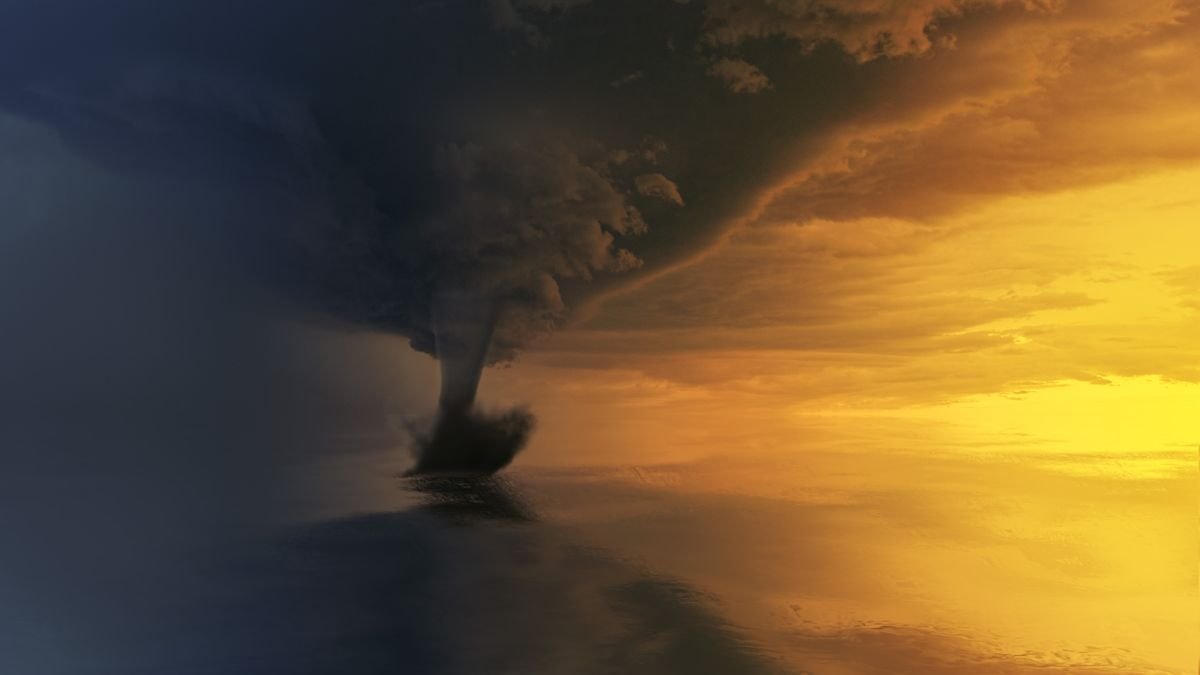
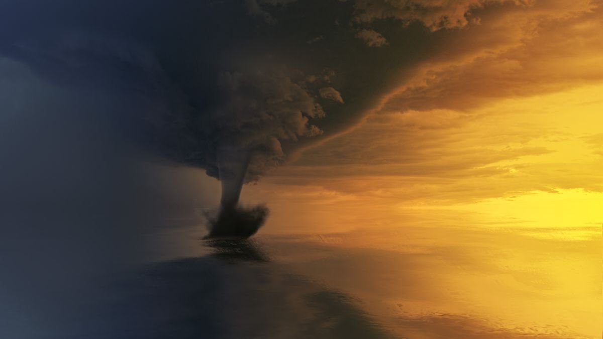
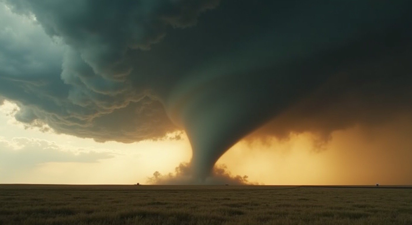
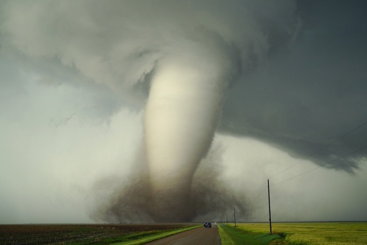
The wedge tornado is the one that empties towns. A wedge appears wider at its base than the distance from the ground to the cloud base. The 2013 El Reno wedge spanned 2.6 miles. To someone standing in its path, a wedge tornado does not look like a funnel. It looks like a moving mountain of dirt and cloud stretching from horizon to horizon. How tornadoes form determines their shape, and wedge tornadoes are born from the largest mesocyclones. The National Weather Service notes that wedge tornadoes are responsible for a disproportionate share of tornado fatalities. Their sheer width means more structures in the damage path. And because they are often wrapped in rain, people do not always see them coming.
The multi vortex tornado hides its violence inside a larger circulation. Instead of a single rotating column, a multi vortex tornado contains two or more smaller vortices spinning around a common center. These smaller circulations are called suction vortices. They can add more than 100 miles per hour to the ground-relative wind speed already present in the main tornado, according to research from the NOAA National Severe Storms Laboratory. A house hit by the center of a multi vortex tornado might lose its roof. The house next door, caught by a suction vortex, might be swept clean to its foundation. The 1999 Bridge Creek, Moore tornado that produced the highest wind speed ever recorded on Earth, 302 miles per hour, was a multi vortex tornado.
The Science: How Each Shape Forms
The shape of a tornado is not random. It tracks the life of the storm itself.
The rope tornado forms when the parent thunderstorm’s rotating updraft, called a mesocyclone, begins to weaken. The circulation narrows. The funnel stretches into a thin, tilted strand. Meteorologists call this the “roping out” stage. A rope tornado usually signals the end of the tornado’s life. But a new mesocyclone can form nearby within minutes and drop a fresh tornado from the same storm. The tornado family from the May 3, 1999 outbreak in central Oklahoma cycled through multiple ropes and new formations over the course of an hour.
The wedge tornado forms when the mesocyclone is so large and the condensation funnel so wide that the tornado appears wider than the distance from cloud to ground. The El Reno wedge was not the most intense tornado ever measured, it was rated EF3 on the Enhanced Fujita Scale. But its size made it the most dangerous to chase. The circulation was so broad that even experienced storm chasers misjudged its boundaries. Several chase vehicles were thrown from roads when the wind field expanded without warning.
The multi vortex tornado forms when smaller areas of intense rotation develop within the larger tornado circulation. These suction vortices orbit the tornado’s central axis at high speed. The NOAA National Severe Storms Laboratory has documented cases where individual suction vortices were moving at 80 miles per hour relative to the parent tornado’s forward speed. The damage pattern from a multi vortex tornado is distinctive: narrow streaks of complete devastation separated by areas of lighter damage where the suction vortices passed between structures.
The cone and stovepipe tornadoes form during the mature stage of the mesocyclone. The condensation funnel is fully developed. The circulation is stable. These shapes can persist for 20 minutes or more. Tornadoes often shift between shapes within a single life span. A tornado might begin as a cone, widen into a wedge, then narrow into a rope as it dissipates.
The Meaning: Why Knowing the Types of Tornadoes Saves Lives
There is a practical urgency to recognizing tornado shapes that goes beyond scientific curiosity. The way a tornado appears affects how people respond to warnings.
Wedge tornadoes present the deadliest perceptual challenge. Because they are so wide, the human eye struggles to detect rotation in a wedge. The tornado fills your entire field of view. People have reported thinking they were looking at a dark storm cloud or a heavy rain curtain rather than a tornado. The National Weather Service has documented cases where residents in the path of a wedge tornado did not take shelter because the tornado did not match their mental image of a narrow funnel. Tornado alley is shifting east into more populated regions, which makes recognizing wedge tornadoes even more urgent.
The rope tornado creates the opposite problem. People see a thin, seemingly fragile rope and assume it is weak. This assumption is dangerous. A rope tornado can still carry EF3 or EF4 winds. Its narrow width concentrates that violence into a smaller footprint but does not reduce it. A rope hitting a mobile home is still a tornado hitting a mobile home. The outcome is the same.
Multi vortex tornadoes are the hardest to read from the ground. You may see a single large funnel. You do not see the smaller vortices spinning inside it at 80 to 100 miles per hour faster than the visible circulation. A storm report from the 2011 Tuscaloosa, Birmingham tornado described a multi vortex structure that embedded extreme damage streaks within a wider damage path. Homes at the center of the path were completely destroyed while homes two blocks away still had standing walls.
Understanding the types of tornadoes changes how you interpret a tornado warning. When the National Weather Service issues a “tornado emergency” for a confirmed large and destructive tornado, they are often describing a wedge or a rain-wrapped multi vortex tornado. The language is urgent because the visual cues people normally rely on do not work for these storms.
The Resonance: What the Shapes Tell Us About the Sky
Tim Samaras chased tornadoes because he believed their shapes held secrets. Each rope, cone, stovepipe, wedge, or multi vortex tornado is a different expression of the same physical forces. Wind shear meets moisture. Temperature gradients tip the balance. Together they form a rotating column of air. The shape that column takes tells you where it is in its life and how organized its circulation is. It hints at what the tornado might do next.
The El Reno wedge that took Tim’s life also changed tornado science. His probe’s data showed that the strongest winds in a large wedge tornado occur not at the visible funnel wall but at small embedded vortices just inside it. That finding reshaped how engineers design tornado shelters. It reshaped how meteorologists communicate risk. A tornado is not one thing. It is many things, cycling through shapes that carry different dangers. The next time a tornado warning interrupts your afternoon, the shape you see might tell you everything you need to know about what happens next.
\n\n📖 Part of our Complete Tornado Guide — formation, warning signs, and staying safe.
\n