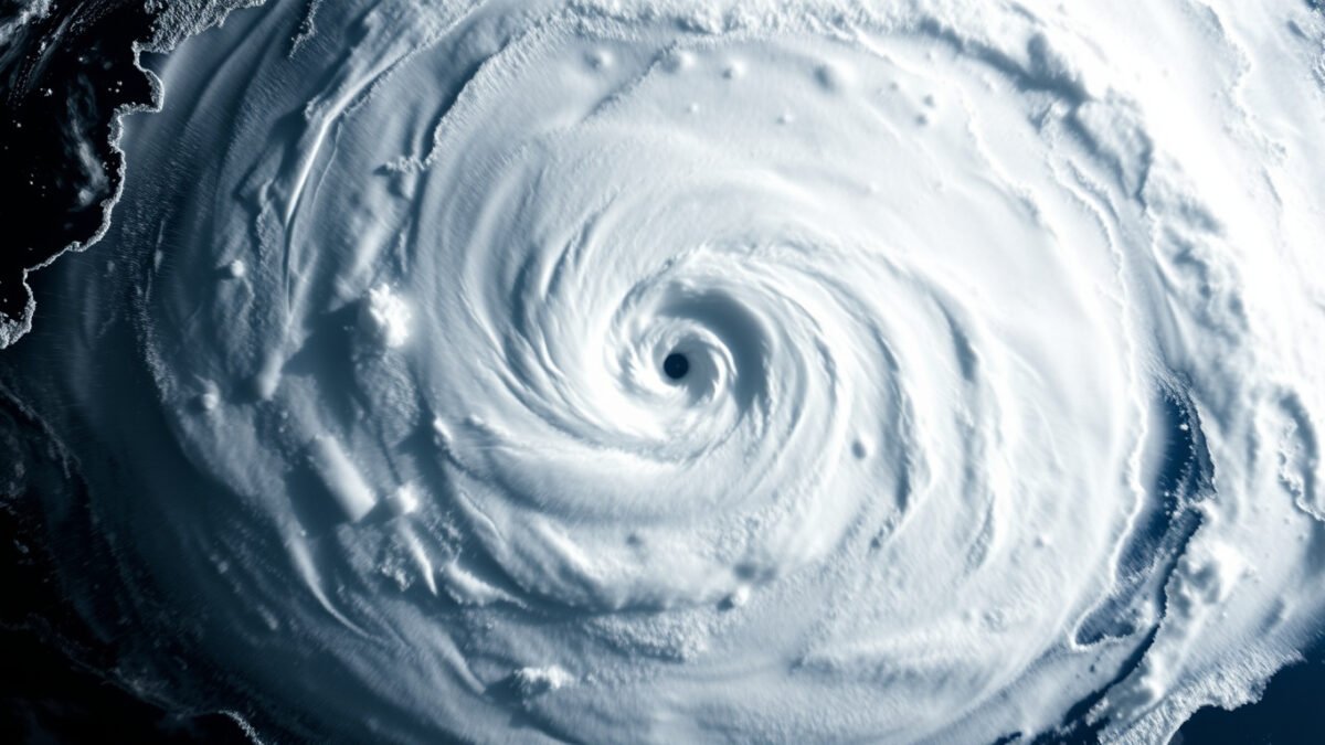
On the evening of October 24, 2023, the forecast for Acapulco was straightforward. A tropical storm named Otis was approaching Mexico’s Pacific coast. Residents went to bed expecting rain and moderate wind.
By sunrise, Otis was a Category 5 hurricane with 165 mph winds, making landfall as the strongest storm ever to strike that coastline. The 24 hours between “tropical storm” and “catastrophe” is a weather phenomenon called hurricane rapid intensification. It rewrites evacuation plans overnight. It turns a manageable threat into a nightmare while people sleep.
Hurricane rapid intensification is not rare. It happened in 70% of the billion-dollar hurricanes that have struck the United States since 1980. It is not random either. Scientists now understand the conditions that produce it, and a major NOAA study published in July 2026 has identified four specific signals that predict when a storm is about to explode.
What Hurricane Rapid Intensification Actually Means
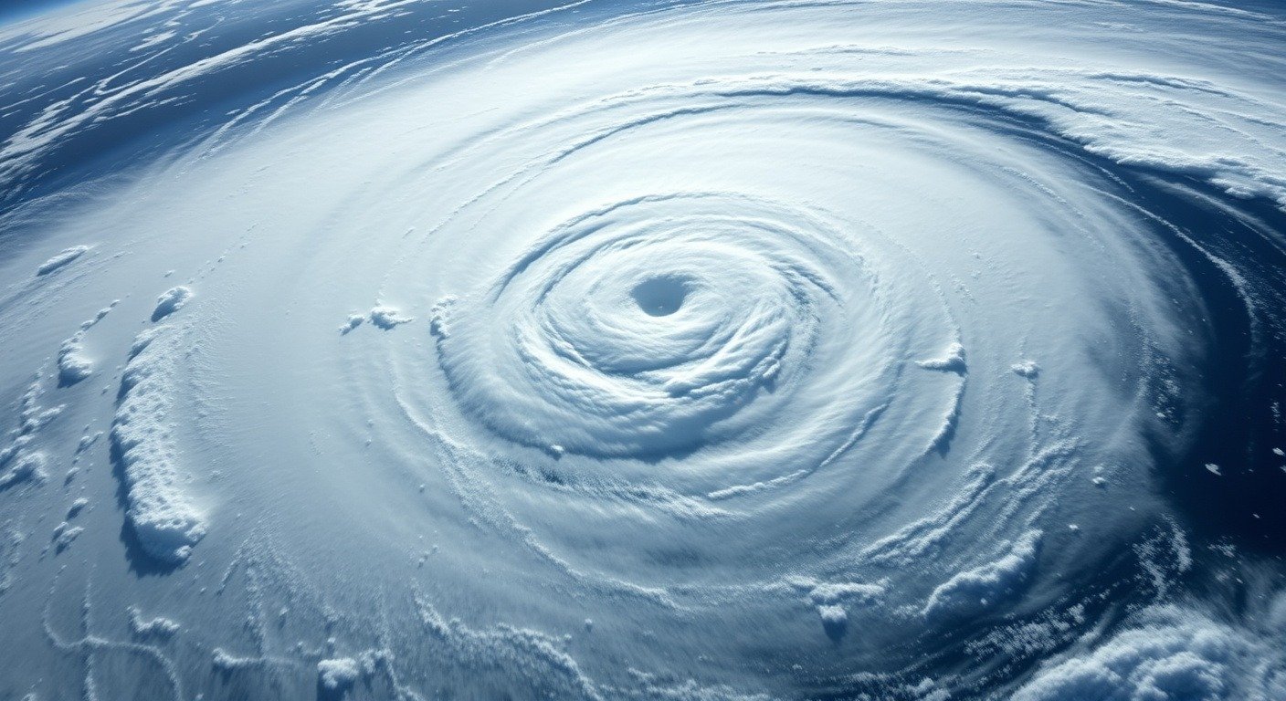
The National Hurricane Center uses a precise definition. Hurricane rapid intensification means an increase of at least 35 miles per hour in maximum sustained winds within 24 hours, according to NOAA’s Hurricane Research Division. This rapid intensification definition is the baseline. Everything below it is normal strengthening. Everything above it is a storm transforming faster than most evacuation systems can respond. To understand why this happens, you first need to grasp how hurricanes form from warm ocean water into organized systems.
There is a deeper level beyond the baseline. “Extreme” rapid intensification describes a wind increase of 58 mph or more in 24 hours, a category that applies to roughly 22% of rapidly intensifying storms that make landfall in the Atlantic. Hurricane Patricia still holds the record. In 2015, Patricia gained 120 mph in a single day, deepening 97 millibars, the largest 24-hour wind increase ever measured on the planet.
Between 20 and 30 percent of all tropical cyclones undergo at least one hurricane rapid intensification episode. Among major hurricanes, Category 3 and above, the number jumps to 80 percent. Most strong storms do not build gradually. They reach their destructive peak through one explosive window.
The mechanics that make this possible are straightforward, even if forecasting them remains difficult. Three ingredients have to align at the same moment.
The Three Conditions That Light the Fuse
Warm water. The first and most fundamental requirement is ocean heat content, the total thermal energy stored in the water column, not just the surface temperature. Think of it as the difference between a shallow puddle and a deep hot tub. A hurricane pulling heat from a deep warm layer keeps feeding itself. When sea surface temperatures cross roughly 82 degrees Fahrenheit and that heat extends well below the surface, the fuel supply is effectively unlimited. Since April 2023, global sea surface temperatures have been continuously hotter than any prior period on record, according to NOAA satellite data.
Low wind shear. Wind shear is the change in wind speed or direction with height. Picture stacking blocks while someone pushes the middle. Strong shear tilts the storm’s circulation, vents its heat and moisture, and prevents the organized convection that a hurricane needs. Weak shear allows the storm’s circulation to stay vertically aligned, stacked straight like a chimney, pulling heat upward efficiently.
This vertical alignment is the critical precursor to rapid intensification. The NOAA AOML study published in July 2026 examined 27 years of Hurricane Hunter radar data and found four conditions that predict when alignment will happen: a strong compact circulation near the surface, a favorable tilt orientation, strong updrafts and rainfall near the center, and warm water with high moisture content. These four conditions are now being used to improve real-time hurricane rapid intensification forecasts at the National Hurricane Center.
Moist mid-level air. Dry air in the middle atmosphere suffocates a hurricane. It disrupts the thunderstorms that form the storm’s engine. Moist mid-level air feeds those same thunderstorms. When a hurricane’s core ingests moist air instead of dry, the convection intensifies. The storm’s eyewall tightens, its central pressure drops, and the feedback loop begins.
When all three conditions coincide, the transformation is not gradual. It is a chain reaction. This is what causes rapid intensification: a hurricane encountering warm water, low wind shear, and moist air all at once, triggering a feedback loop that compresses days of strengthening into hours.
Inside the 24-Hour Window
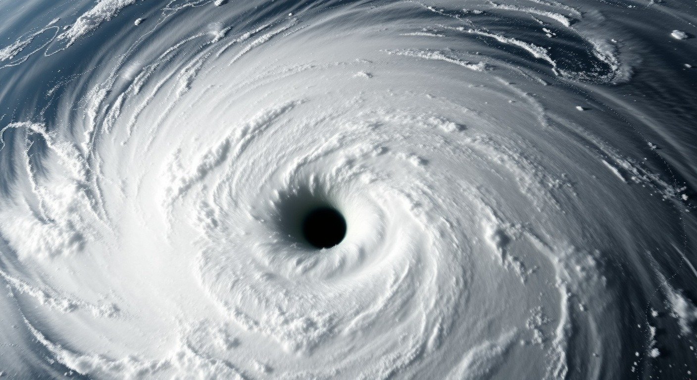
Hour zero. The hurricane is organized but unremarkable. Its eye may be 30 miles across. Surface winds are steady. The storm is moving over water warmer than 82 degrees with low wind shear above it and moist air feeding its core.
Hour six. Thunderstorms inside the eyewall begin to burst upward with unusual energy. Meteorologists call these “hurricane hot towers,” convection columns that punch through the tropopause nearly nine miles into the atmosphere. They function like afterburners on a jet engine igniting. Each hurricane hot tower releases enormous latent heat, further lowering the storm’s central pressure and pulling more warm air inward. The feedback loop has started.
Hour twelve. The eyewall tightens from 30 miles to perhaps 10. The same amount of rotational energy compressed into a smaller ring produces faster winds, the same physics a figure skater uses when pulling her arms inward during a spin. Satellite imagery shows the eye clearing out, a sign of intense organization. The storm is now a major hurricane and still accelerating.
Hour eighteen. The pressure gradient has steepened to the point where the storm’s maximum winds have increased by 50 mph or more. If an eyewall replacement cycle begins, the storm may briefly weaken as the old eyewall collapses and a larger one forms around it. This is deceptive. A storm that appears to weaken during an eyewall replacement cycle can emerge from the cycle even stronger, because the new eyewall is larger and can drive a wider wind field.
Hour twenty-four. The hurricane has undergone this transformation. A storm that began the day as a Category 1 is now a Category 4 or 5. The evacuation calculus for every community in its path has collapsed from 48 hours to less than 12.
Why Forecasters Still Struggle to Predict It
Rapid intensification forecasting remains the largest source of error in hurricane intensity prediction. The National Hurricane Center listed it as their highest priority item for improvement back in 2012. More than a decade later, the problem persists.
The challenge is that the environmental conditions that produce rapid intensification look nearly identical to conditions that do not. Two storms can encounter the same warm water, low shear, and moist air. One explodes. One does not. Internal storm processes, the specific arrangement of convection inside the eyewall, appear to determine the outcome. Those processes are measured in miles and minutes, far below the resolution of global forecast models.
A 2023 study from the National Center for Atmospheric Research identified two distinct modes of hurricane rapid intensification. The “marathon” mode features steady strengthening under consistently favorable conditions. The “sprint” mode is more dangerous: an explosive burst that can happen even under unfavorable conditions like moderate wind shear, precisely the situations forecasters assume are safe.
New tools are improving the picture. The Hurricane Analysis and Forecast System, operational since August 2025, is expected to improve rapid intensification forecasts by 5 to 7 percent. The CYGNSS satellite constellation, eight small satellites launched in 2016, measures ocean surface winds through heavy rain where previous instruments went blind. These are incremental gains against a stubborn physical problem.
The Climate Connection
The IPCC’s Sixth Assessment Report assessed with medium confidence that the global frequency of rapid intensification has increased over the past four decades beyond what natural variability alone would explain. The numbers behind that confidence are striking.
A Climate Central analysis of 177 landfalling Atlantic tropical cyclones between 1980 and 2023 found that Category 1 storms jumping to major hurricane status more than doubled between the 1971-1990 period and the 2001-2020 period. The likelihood of a hurricane-force storm undergoing rapid intensification rose from roughly 1 percent in the 1980s to about 5 percent today. Warmer oceans are the primary mechanism. A warmer atmosphere holds more moisture. Both conditions provide more fuel for the heat engine inside a hurricane.
The economic stakes track the science. Five of the costliest U.S. tropical cyclones on record, totaling approximately 680 billion dollars in damage, all underwent rapid intensification with wind increases of 40 to 70 knots in 24 hours, according to NOAA economic data. The hurricane rapid intensification climate change connection is increasingly clear: warming oceans provide more fuel, and the data shows storms are using it.
The damage footprint of a rapidly intensifying hurricane extends across 29 states, not just the Gulf Coast. Insurers are retreating from Florida and Louisiana markets because rapidly intensifying storms near landfall are nearly impossible to price.
What You Can Do When a Storm Begins to Strengthen
The science behind this phenomenon leads to one practical conclusion. The time between “this storm is not a major threat” and “this storm is a life-threatening emergency” can collapse to a single overnight. Pay attention to these signals.
Check the National Hurricane Center’s forecast discussion, not just the headline category. The discussion text includes forecaster confidence levels and explicit notes about intensification potential.
Understand that a Category 1 hurricane can become a Category 4 in the time it takes you to pack a car. The 2026 Atlantic hurricane season forecast calls for near-normal activity, but a “quiet” season can still produce a single devastating storm. Hurricane Andrew struck in 1992, a year with only seven named storms. It was a Category 5.
Know your evacuation zone before the season starts. Practice the route once. If an intensifying storm is approaching, leave early. The worst traffic is always the people who waited for a Category 5 before moving.
The link between hurricane rapid intensification and climate change means this is not a problem that will solve itself. Warmer oceans are not cooling down. But better forecasts are arriving. The question is whether they arrive fast enough for the next Otis.
For a deeper understanding of hurricane science, from formation to forecasting, read our complete hurricane guide. And if you live anywhere near the Atlantic or Gulf coast, bookmark the 2026 season forecast for the latest NOAA outlook.