The Night the Temperature Hit 140°F After a Thunderstorm Ended
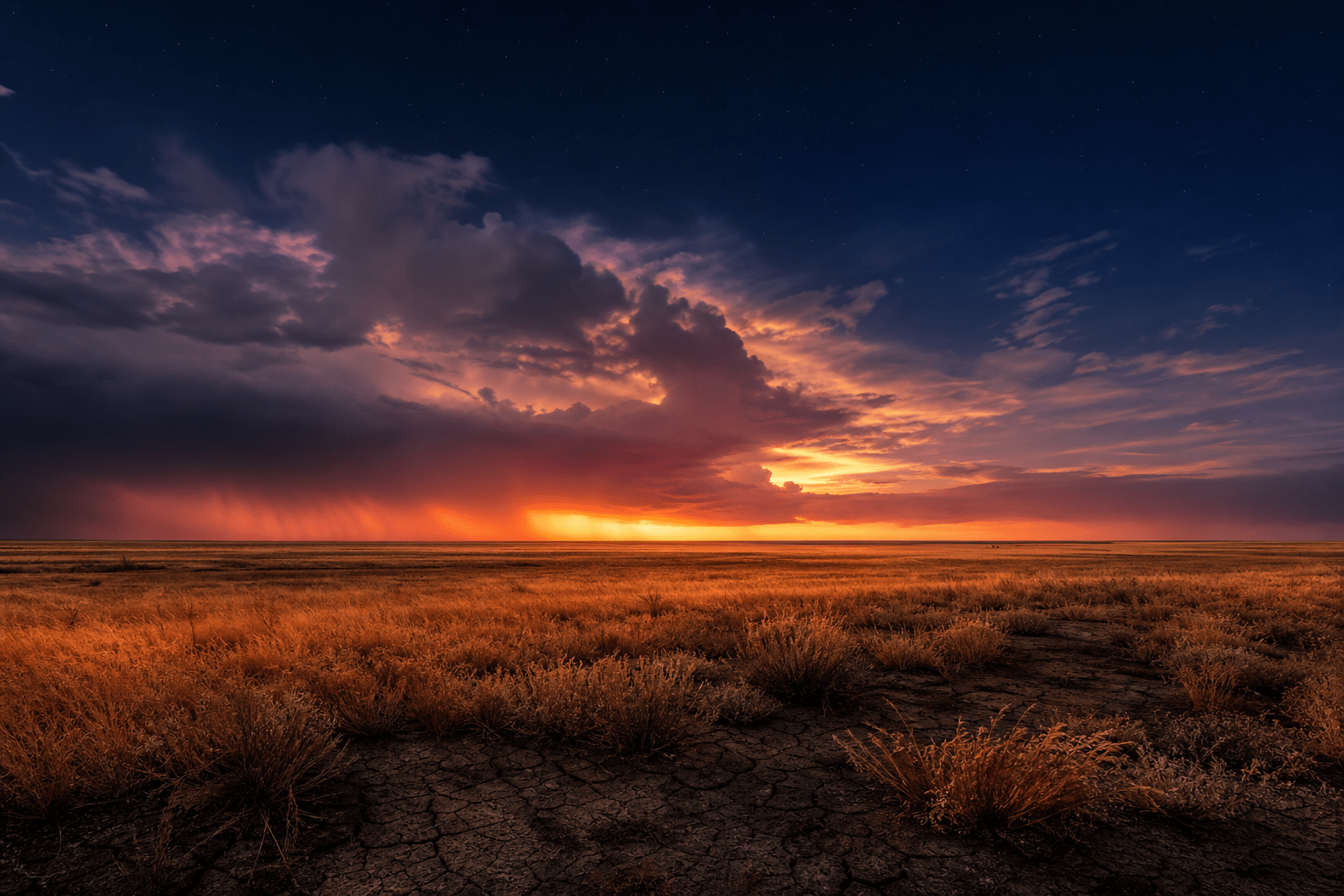
You expect the air to cool down after a thunderstorm rolls through. Rain falls. Clouds move on. Temperatures drop.
But sometimes, the exact opposite happens.
In the small town of Kopperl, Texas, on June 15, 1960, a thunderstorm weakened and began to die out. That should have been the end of it. Instead, the temperature shot up to a staggering 140°F (60°C) — in the middle of the night. People woke up gasping. Crops withered on the spot.
That was a heat burst. And while Kopperl is the most extreme case on record, smaller versions of this bizarre weather event happen more often than you’d think.
What Exactly Is a Heat Burst?
A heat burst is a rare atmospheric event where the temperature at ground level suddenly spikes — sometimes by 20°F, 30°F, or more — within minutes.
It almost always happens at night. And it almost always happens when a thunderstorm is dying.
Meteorologists describe it as a sudden, localized blast of hot, bone-dry air that rushes down from a decaying storm cloud. Along with the heat, you get strong, gusty winds that can flip small planes, snap tree branches, and tear off roofs.
In Sioux Falls, South Dakota, on August 3, 2008, the temperature rocketed from 70°F to 101°F in minutes. That’s a 31°F jump — faster than most ovens preheat.
The Science: Why a Dying Storm Can Make Things Hotter
It seems backward. Thunderstorms bring rain and cold downdrafts. So how does a weakening storm blast out heat?
Here’s the step-by-step:
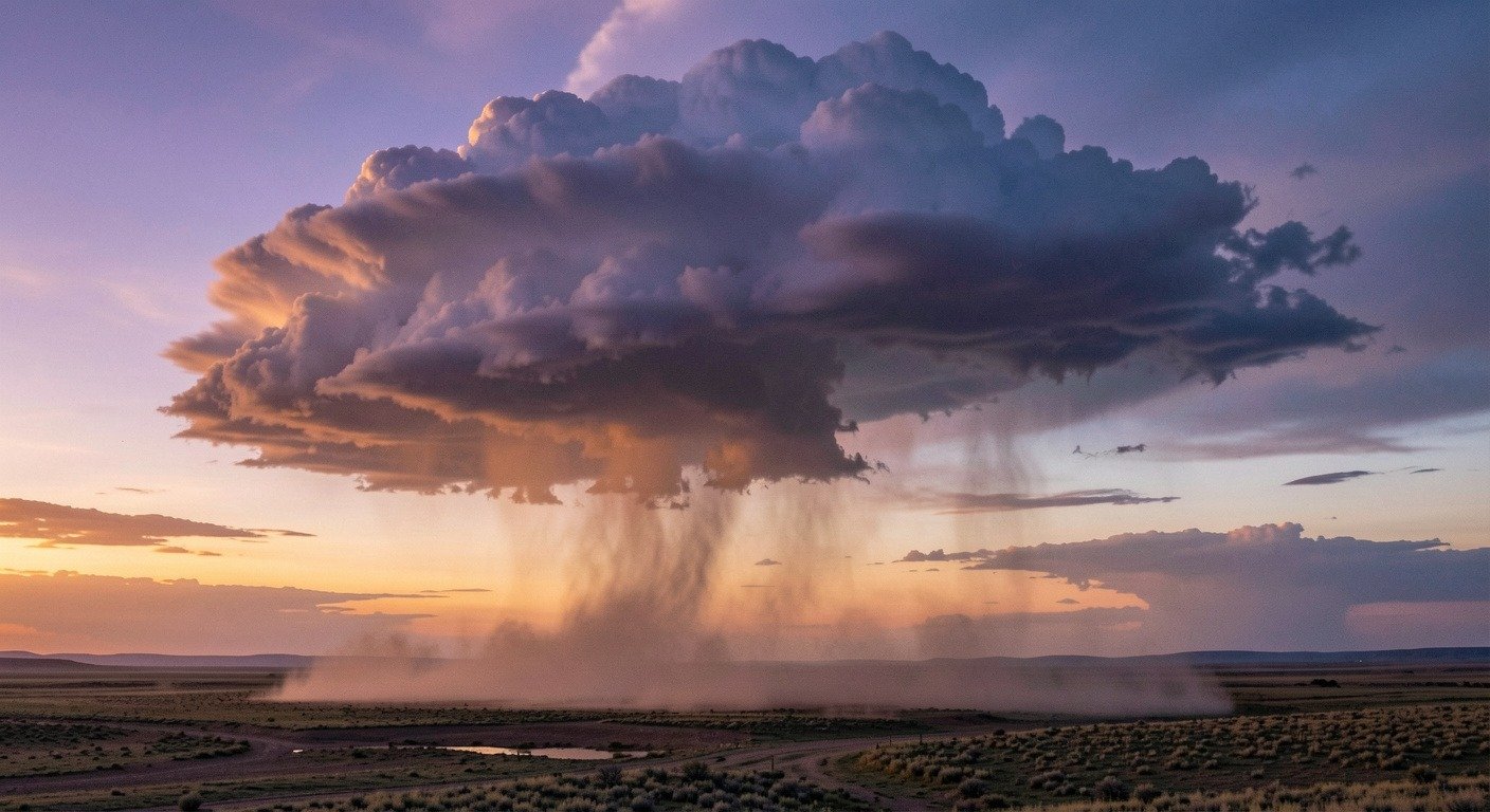
1. Rain falls into a dry layer above the ground. As the thunderstorm starts to collapse, rain begins evaporating before it reaches the surface — what meteorologists call virga. This evaporation cools a pocket of air high up, making it denser and heavier than the air around it.
2. The cold air pocket plummets. That dense parcel of air starts falling fast, like a rock dropped in water. As it descends, the atmospheric pressure around it increases rapidly.
3. Compression creates heat. When a gas is compressed, it warms up — the same principle that makes a bicycle pump feel hot after you use it. This is called adiabatic heating. The descending air warms at a rate of roughly 5.4°F for every 1,000 feet it drops.
4. It overshoots and hits the surface. The air parcel gains so much momentum that it blows right past its natural equilibrium level and slams into the ground — now much hotter and drier than when it started. The relative humidity can drop below 10% in seconds.
Think of it like blowing downward on a puddle of water. The air coming from your mouth compresses as it hits the surface, and if you could measure it, the temperature would be slightly higher than when it left your lungs. A heat burst is the same thing — just on an enormous scale.
Where and When Heat Bursts Happen
Heat bursts are most common in the Great Plains of the United States — western Nebraska, southwest Kansas, the Oklahoma Panhandle, and parts of Texas.
Why there? Two reasons:
- Dry air aloft. The Plains often have a layer of very dry air sitting above moist, unstable air near the ground. That’s the perfect setup for virga formation.
- Nighttime thunderstorm decay. Summer thunderstorms in the Plains often form during the hot afternoon and then die out after sunset — exactly when heat bursts are most likely, between 10 PM and 2 AM.
But they’re not exclusive to the Plains. Heat bursts have been documented on every continent except Antarctica. In January 2026, a heat burst in Viewbank, Victoria, Australia, pushed temperatures from 65°F to 93°F. In July 2019, one hit Donna Nook in England, jumping from 72°F to 90°F. Barcelona has recorded multiple events with 23°F spikes.
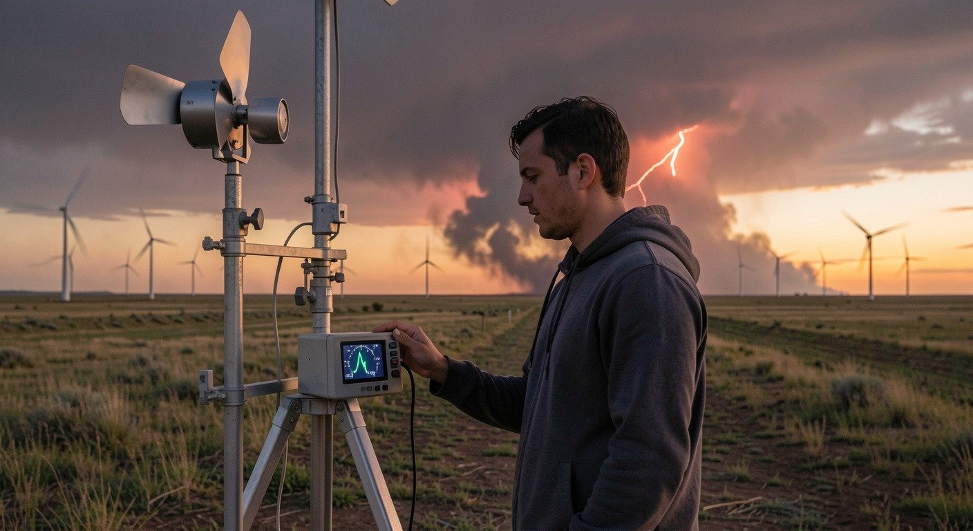
How Meteorologists Spot Them
Heat bursts are hard to predict. They happen fast and affect very small areas — sometimes just a few miles across.
But weather stations can catch them after the fact. Researchers at the Oklahoma Mesonet, a network of 120 weather monitoring stations across the state, identified 390 potential heat burst days over a 15-year period. They look for a specific signature: a sharp temperature spike accompanied by an equally sharp drop in dew point, with gusty winds and a dying thunderstorm on radar.
The National Weather Service office in Goodland, Kansas, was one of the first to document a heat burst in detail — on March 4, 1990. They detected weakening rain and snow showers followed by sudden gusty winds and a rapid temperature jump, proving that heat bursts can happen even in winter.
Are Heat Bursts Dangerous?
Most heat bursts are brief — lasting anywhere from a few minutes to a couple of hours — and affect a small area. The temperature spike is startling but rarely life-threatening on its own.
The wind, however, can cause real damage. A pre-dawn heat burst on May 3, 2006, near Meacham Airport in Fort Worth, Texas, flipped small planes and damaged hangar roofs. Gusts can reach 80 mph or more.
For people on the ground, the experience is surreal. One moment it’s a calm, cooling summer night. The next, you’re hit with a blast of hot, dry wind that feels like opening an oven door.
There’s no real way to “prepare” for a heat burst specifically — but if you live in the Plains and notice a thunderstorm dying out on a summer night, and suddenly the wind picks up and the air turns strangely warm and dry, you’re probably experiencing one. Stay indoors and secure loose outdoor items if you can.
A Reminder That Weather Still Surprises Us
We have satellites, supercomputers, and AI forecasting models. And yet a dying thunderstorm in Kansas can still produce a blast of 100°F air at midnight, and the best explanation we have involves the same physics that heats up a bicycle pump.
Weather is complicated. That’s what makes it worth understanding.
Written by NatureWeatherHub — your simple guide to weather, nature, and the planet.