A single band of moisture, invisible to the naked eye, carries more water than the Mississippi River. When it hits land, it can end a drought or drown a city.
If you have watched a West Coast weather forecast in winter, you have heard the term. Atmospheric rivers, sometimes called rivers in the sky, sound like something out of science fiction: ribbons of water vapor thousands of miles long, flowing through the sky like airborne rivers. They are real, they are always moving somewhere on Earth, and they shape the lives of hundreds of millions of people.
Quick Summary
- Atmospheric rivers are narrow corridors of water vapor, typically 250 to 375 miles wide, that transport most of the moisture from the tropics to the poles.
- At any given moment, 90% of poleward water vapor is concentrated in just 4 to 5 atmospheric rivers covering less than 10% of the planet.
- The Pineapple Express is the most famous type, drawing moisture from near Hawaii to the U.S. West Coast.
- A five-category AR scale (AR1 to AR5) rates these storms from primarily beneficial to primarily hazardous.
- Climate change is not making atmospheric rivers more frequent, but each one carries more water as a warmer atmosphere holds more moisture.
Most atmospheric rivers are quiet heroes. They deliver the rain and snow that fill reservoirs, irrigate farmland, and keep forests alive.
A small number turn destructive, dumping months of rain in days and triggering floods that overwhelm dams and levees. Understanding how atmospheric rivers work is the first step to knowing when the sky is about to deliver a gift, or a disaster like the Midwest flooding crisis that broke levees across Iowa and Illinois.
What an Atmospheric River Is
An atmospheric river is a long, narrow corridor of concentrated water vapor in the lower atmosphere. Think of it as a fire hose of moisture, fed by warm tropical oceans and aimed at a coastline.
The average atmospheric river transports water vapor roughly equal to the flow of the Mississippi River at its mouth. The strongest ones can carry 15 times that amount.
These systems are narrow by weather standards, typically 250 to 375 miles wide, but they can stretch for thousands of miles across an ocean. They flow in the lowest mile of the atmosphere, just above the surface, making them invisible to the naked eye. Satellite imagery reveals them as long white plumes snaking across the Pacific toward North America.
The name you may already know is the Pineapple Express, a specific type of atmospheric river that draws moisture from the waters near Hawaii and delivers it to the U.S. West Coast. It is the most famous example of the phenomenon, but atmospheric rivers occur on every continent that borders an ocean. During strong El Niño years, the subtropical jet stream can steer more of these moisture plumes toward California.
Why Atmospheric Rivers Form
The science is straightforward. Warm tropical oceans evaporate water into the air, and global wind patterns pull that moisture into narrow bands that travel toward the poles. When these bands reach a coastline and are forced upward by coastal mountains, the water vapor cools, condenses, and falls as rain or snow.
In technical terms, this is called orographic lift. A column of moisture-laden air hits a mountain range, rises, and cools at roughly 5.4 degrees Fahrenheit per thousand feet of elevation gain.
The higher and steeper the mountains, the more intense the precipitation. The Sierra Nevada and the coastal ranges of the Pacific Northwest are perfectly positioned to squeeze atmospheric rivers dry.
The scale is hard to grasp: at any given moment, about 90 percent of all water vapor moving from the tropics toward the poles is concentrated in just four or five atmospheric rivers worldwide. Together, these narrow bands cover less than 10 percent of the planet’s circumference. They are the planet’s main water delivery system, and they have been doing this work for as long as oceans and wind have existed.
A river in the sky that carries 15 times the flow of the Mississippi. Most of the time, it saves you. Sometimes, it buries you.
How They Affect People
Atmospheric rivers touch nearly every part of life in the western United States, and their impact splits cleanly between blessing and curse.
Water supply. Up to 50 percent of California’s annual precipitation arrives through these atmospheric rivers. For a state that supports 39 million people and grows more than a third of the country’s vegetables, these storms are not optional. They fill the reservoirs that carry cities through dry summers. USGS research found that between 33 and 74 percent of West Coast droughts from 1950 to 2010 were broken by the arrival of atmospheric river storms. When they fail to show up, drought deepens into crisis.
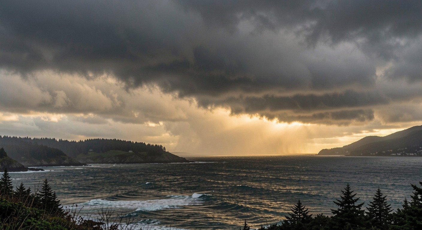
Flooding and destruction. The same storm that ends a drought can become a catastrophe. A strong atmospheric river stalled over Northern California in October 2021 delivered record-breaking rainfall in a single day. In early 2021, another storm triggered a debris flow that collapsed a section of Highway 1 near Big Sur, cutting off coastal communities for weeks. The USGS has modeled a hypothetical ARkStorm scenario (Atmospheric River 1,000), a once-every-500-to-1,000-year event that would cause an estimated 350 billion dollars in damage and 290 billion dollars in business interruption losses across California. That is more than seven times the damage of a major San Andreas earthquake.
Post-fire danger. After a wildfire strips vegetation from hillsides, the soil becomes nearly waterproof. When an atmospheric river hits a fresh burn scar, the rain runs straight off, carrying ash, mud, and boulders downstream. These debris flows can destroy homes, clog reservoirs with sediment, and contaminate drinking water supplies. The cycle is brutal: fire damages the land, and the rains that follow make the damage permanent.
Agriculture and energy. Farmers depend on atmospheric river snowpack to irrigate crops through summer. Hydropower dams depend on the same snowpack to generate electricity. When atmospheric rivers arrive too warm, they drop rain instead of snow on mountain snowpack, melting what is already there and setting up water shortages months later.
Key Fact
A USGS ARkStorm scenario, modeled on the Great Flood of 1862, estimates a once-every-500-to-1,000-year atmospheric river mega-storm could cause $350 billion in damage and $290 billion in business interruption losses across California, more than seven times the projected damage of a major earthquake on the San Andreas Fault.
Why They Matter Now
Atmospheric rivers are not becoming more frequent, but they are becoming more intense.
USGS research shows that over the past 70 years, ocean surface warming has increased the amount of water vapor transported onto the West Coast by these storms.
A warmer atmosphere holds more moisture, roughly 7 percent more for every degree Celsius of warming. The same atmospheric river today carries more water than it would have a generation ago. This is one of the clearest ways climate change is rewriting the rules of weather.
Scientists at the Scripps Institution of Oceanography created a five-category atmospheric river scale, similar to the hurricane rating system.
AR1 events are primarily beneficial, delivering gentle soaking rains. AR5 events are primarily hazardous, bringing extreme rainfall that overwhelms flood control systems.
The scale accounts for both the intensity of water vapor transport and the duration the storm lingers over an area. A moderate storm that stalls for 48 hours can be more destructive than an intense one that passes in six.
NOAA can now forecast atmospheric river impacts five to seven days in advance.
That lead time is precious. Unlike earthquakes, which strike without warning, an atmospheric river sends signals that forecasters can read nearly a week out. Communities can clear drainage systems, stage emergency supplies, and issue evacuation orders before the first raindrop falls.
What We Can Learn
The lesson from atmospheric river science is not that these storms are getting worse and we are helpless. It is that they have always been a defining feature of the Western landscape, and now we understand them well enough to act.
The practical takeaway is simple and applies far beyond California. Pay attention to water vapor transport forecasts the same way you watch for hurricane tracks.
An AR4 or AR5 forecast for your region means the same thing a hurricane warning means for the Gulf Coast. Prepare early, know your flood zone, and have an evacuation route.
Atmospheric rivers are the planet’s most efficient water delivery system. They bring life to dry places, and occasionally they bring too much too fast. The difference between blessing and disaster often comes down to whether people knew they were coming.