The 2026 Atlantic hurricane season runs June 1 through November 30, and forecasters are watching an unusual combination of factors that make this year harder to predict than most. Two powerful forces are pulling in opposite directions: a developing El Nino that suppresses hurricanes, and record-warm Atlantic waters that fuel them. Here is what the data says, what it means for coastal communities, and how to get ready regardless of the forecast.
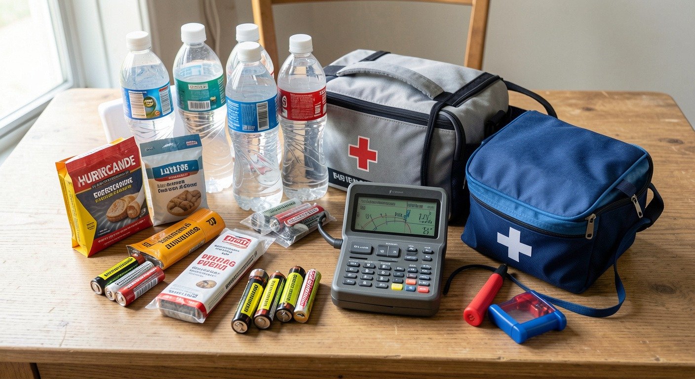 Hurricane preparedness supplies laid out on a table: water, flashlight, batteries, first aid kit, and emergency documents” style=”border-radius:12px;”/>
The Competing Forces of 2026
Normally, hurricane forecasts are fairly straightforward. Warm ocean water fuels hurricanes. Wind shear weakens them. Predict one, and you can predict the season.
This year, those two forces are pulling in opposite directions:
- Factor 1: El Nino (suppresses hurricanes). The developing El Nino in the Pacific typically increases wind shear over the Atlantic. Strong upper-level winds tear apart developing storms before they can organize. In past El Nino years, Atlantic hurricane activity has been below average. Read our complete El Nino guide for the full science.
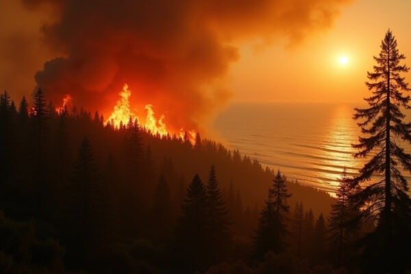
- Factor 2: Record-warm Atlantic (fuels hurricanes). Sea surface temperatures in the tropical Atlantic are exceptionally warm, in some areas 1-2 degrees C above normal. Warm water is hurricane fuel. And there is a lot of it this year.
These two factors make 2026 a competing factors season. The outcome depends on which force wins out, and that is not clear yet.
What the Forecasts Say
Early seasonal forecasts, including those from Colorado State University and NOAA, are expected to reflect this uncertainty. Most will likely predict a near-average to slightly below-average number of named storms. The historical average is 14 named storms per season in the Atlantic, but with a crucial caveat: any storm that does form in this environment could intensify quickly over the unusually warm water.
\”It only takes one storm hitting where you live to make it a bad season for you.\”
NOAA Hurricane Preparedness Guidance
Why an Average Season Can Still Be Dangerous
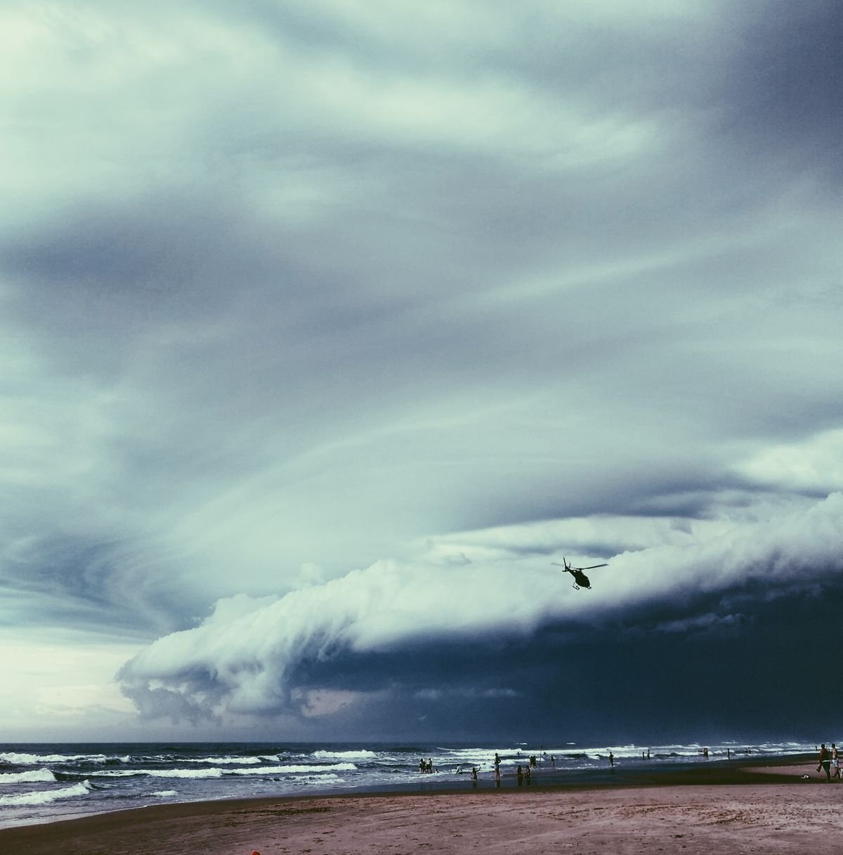
Here is what seasonal forecasts do not tell you: a below-average season can still be devastating. The 1992 Atlantic hurricane season produced only 7 named storms, well below average. One of them was Hurricane Andrew, which caused $27 billion in damage and destroyed over 60,000 homes in Florida.
It only takes one storm hitting where you live to make it a bad season for you. Read our hurricane explainer to understand the science behind these storms.
2026 Hurricane Season at a Glance
| Factor | Impact on 2026 Season |
|---|---|
| El Nino wind shear | Suppresses storm formation |
| Atlantic sea temps (+1-2 degrees C) | Fuels rapid intensification |
| Historical average storms | 14 named storms per season |
| 1992 comparison (Andrew year) | 7 storms, $27B damage, 60K homes lost |
| Flood insurance waiting period | 30 days before coverage begins |
How to Prepare Now
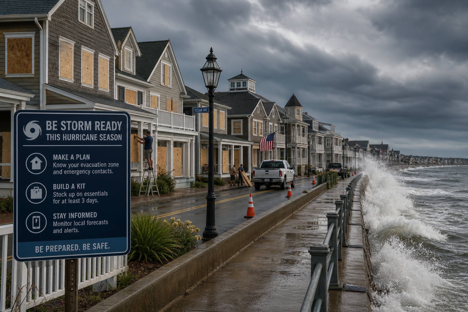
Preparation should happen before a storm is on the map. Once a hurricane watch is issued, supplies disappear, hotels fill up, and roads clog. Here is what to do this week:
- Know your evacuation zone. Look it up on your county or parish emergency management website. Know your route out and have a destination in mind. Check Ready.gov for zone lookup tools.
- Build a basic emergency kit. 3 days of water (4 liters per person per day), non-perishable food, medications, flashlight, batteries, phone charger, cash, copies of important documents.
- Check your insurance. Standard homeowners insurance does not cover flood damage. Flood insurance takes 30 days to take effect, so do not wait for a storm to appear.
- Secure your home. If you live in a hurricane-prone area, consider storm shutters or pre-cut plywood. Know how long it takes to install them.
- Have a communication plan. Family members may be separated when a storm hits. Agree on a meeting place and an out-of-town contact who can relay messages.

Watch These Regions in 2026
- Gulf of Mexico. Warm water is persistent here. Any storm entering the Gulf has high rapid intensification potential. Read our 2026 season forecast for regional details.
- U.S. East Coast (especially Florida to the Carolinas). Warm Atlantic water plus the Gulf Stream current make this a high-risk corridor.
- Caribbean Islands. Always vulnerable. Warm water surrounds them. Evacuation is harder on islands.
Written by NatureWeatherHub, your simple guide to weather, nature, and the planet.
Sources: NOAA; Colorado State University Tropical Meteorology Project; Ready.gov Hurricane Preparedness; FEMA FloodSmart; National Hurricane Center.
Get The Nature Brief
One calm, useful nature and weather briefing every week. No panic. No jargon. Just clear stories that help you understand the planet.
Join Free \u2192