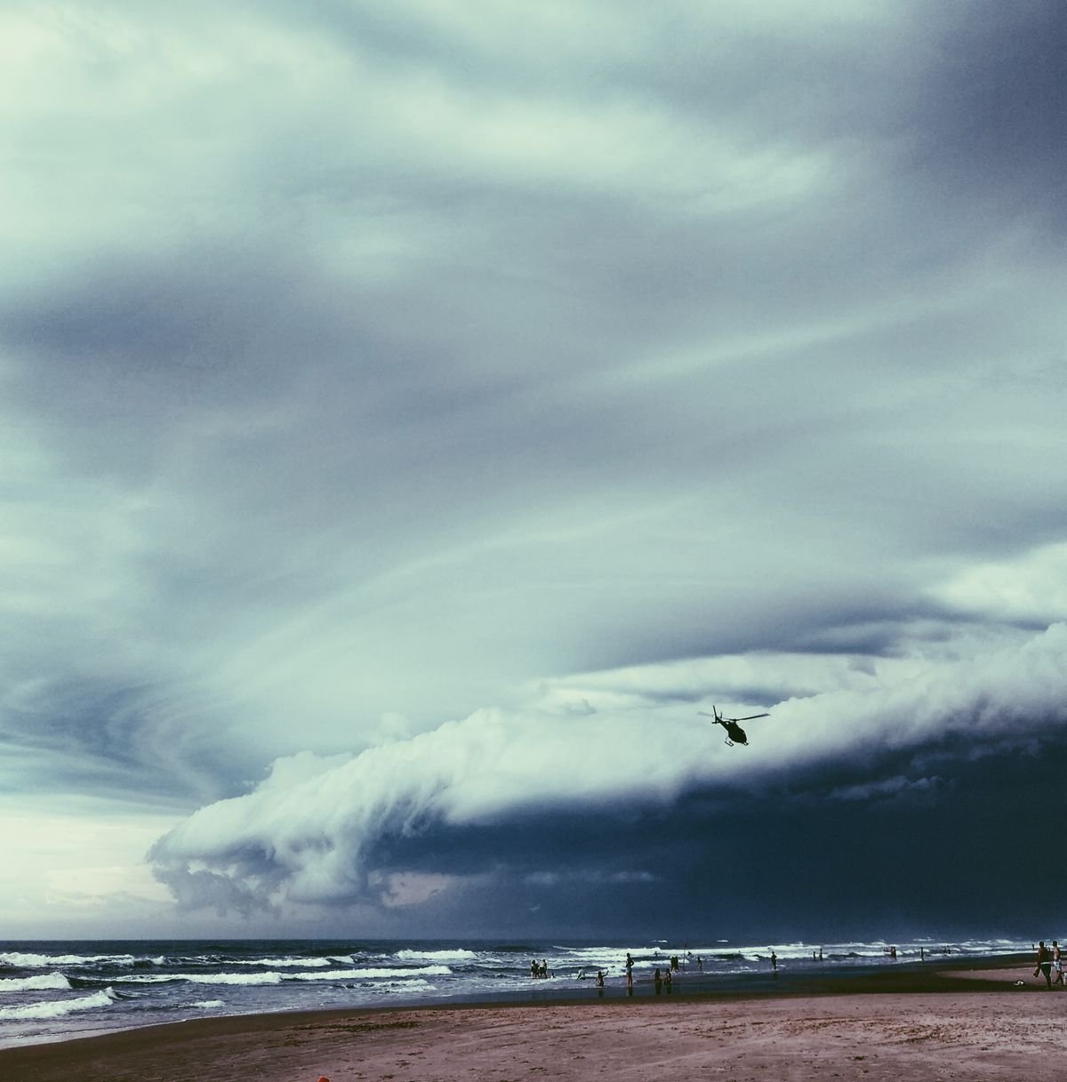
The Atlantic just stirred. On June 17, Tropical Storm Arthur became the first named system of 2026, bringing flash floods to the Gulf Coast and a reminder that “below-normal” does not mean “no threat at all.”
NOAA released its seasonal outlook on May 21 with a headline that caught attention: a 55% chance of a below-normal hurricane season. The numbers, 8 to 14 named storms, 3 to 6 hurricanes, and 1 to 3 major hurricanes, sit well below the 30-year average. But the story behind those numbers matters more than the forecast itself. A quiet season can still produce a single storm that reshapes a coastline. In 1992, Hurricane Andrew tore through South Florida during what was otherwise one of the calmest seasons on record.
The 2026 season, which began June 1 and runs through November 30, is shaped by two powerful forces pushing in opposite directions. Understanding them is the difference between preparation and complacency.
What Happened: Arthur Opens the Season
Tropical Storm Arthur spun to life on June 16, fed by the remnants of Pacific Tropical Storm Cristina and a tropical wave drifting north of the Yucatan Peninsula. The system never grew into a hurricane. Its peak winds reached just 45 mph, with gusts to 60 mph, before it weakened and dissipated by June 18.
But Arthur did what even modest tropical storms do: it reminded millions of people from Texas to the Florida Panhandle that hurricane season is real. Flash flooding swept through parts of Louisiana, Mississippi, and Alabama. Roads washed out. Emergency managers activated protocols that had sat dormant since November.
Arthur was a warning shot. The question now is whether coastal communities will hear it.
Why It Happens: The El Niño and Atlantic Ocean Tug-of-War
The “below-normal” forecast is not random. It comes from a specific atmospheric battle.
Simple Explanation
Think of a hurricane as a spinning tower of thunderstorms that needs calm air above it to grow. When strong winds blow across the top of that tower from different directions, a condition called wind shear, they knock the tower over before it can organize. El Niño, the periodic warming of the eastern Pacific Ocean, is the world’s biggest wind shear machine for the Atlantic basin. It sends fast, disruptive upper-level winds racing eastward, slicing the tops off developing storms.
The Professional Term
The mechanism is called vertical wind shear, measured as the difference in wind speed and direction between the lower and upper atmosphere. El Niño strengthens the subtropical jet stream, increasing shear across the tropical Atlantic, the main development region where hurricanes are born. Research published by Colorado State University’s Tropical Meteorology Project shows that El Niño seasons average roughly half the accumulated cyclone energy of La Niña seasons.
A Real-World Example
In the 2015 Atlantic season, a strong El Niño dominated. Only 11 named storms formed. Just 4 became hurricanes, and 2 of those were major. The following year, 2016, the El Niño faded. The result: 15 named storms, 7 hurricanes, and Hurricane Matthew, which killed over 600 people across the Caribbean and southeastern United States. The season total does not tell the whole story. The individual storm does.
But 2015 and 2026 are not identical. This year, the Atlantic Ocean itself is unusually warm. Sea surface temperatures in the main development region, the stretch of ocean between Africa and the Caribbean, are running above the long-term average. Warm water is hurricane fuel. So while El Niño tries to tear storms apart from above, the ocean is feeding them from below. NOAA’s outlook explicitly acknowledges this tension: “competing factors” make the forecast less certain than a typical El Niño year.
On June 10, Colorado State University released its updated seasonal hurricane predictions, lowering the forecast to 11 named storms, 5 hurricanes, and 2 major hurricanes, down from 13 named storms in April. CSU’s Accumulated Cyclone Energy forecast was also reduced to an index of 70, well below the 30-year median. As of June 29, the National Hurricane Center was monitoring a disturbance off the Southeastern US coast, a reminder that the season’s peak, typically mid-August through October, is still ahead.
A below-normal forecast is a seasonal statistic. One hurricane making landfall is a life-changing event. The two have nothing to do with each other.
How It Affects People
Homes and Infrastructure
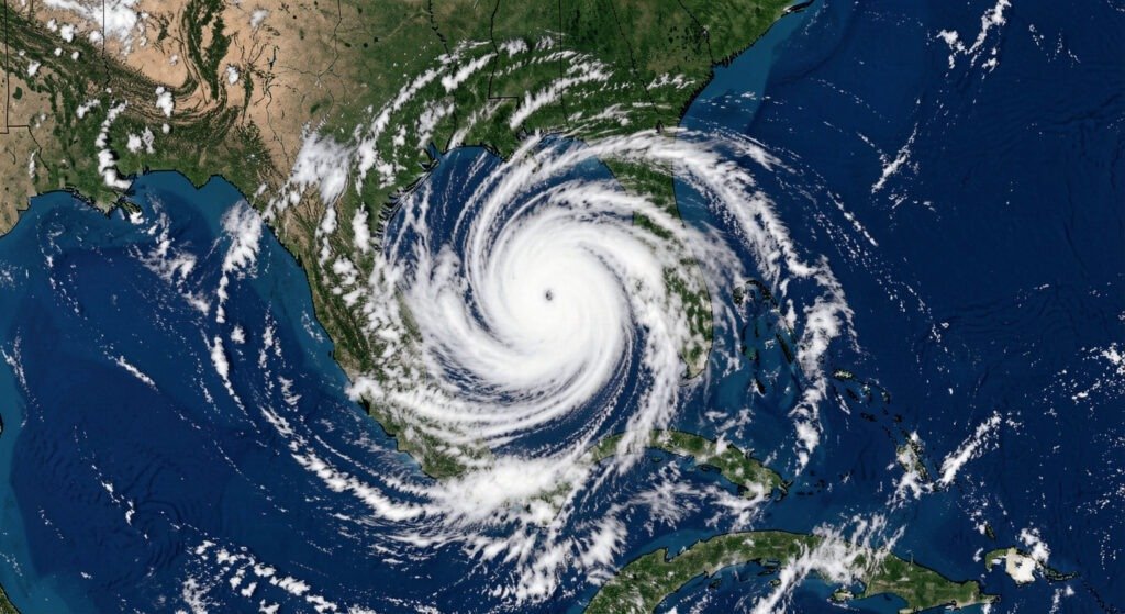
Coastal property values have risen sharply over the past decade, even as hurricane risk has intensified. From Galveston to the Outer Banks, millions of homes sit inside storm surge zones. A slow-moving Category 2 hurricane pushing a 10-foot wall of water ashore does not care that the season was “below normal” everywhere else.
Insurance and Economy
The insurance market in hurricane-prone states is already strained. In Florida, multiple carriers have gone insolvent since 2022, leaving homeowners scrambling for coverage through the state-backed insurer of last resort. Even a single landfalling hurricane in 2026 could accelerate premium increases that are already pricing families out of coastal living. According to the Insurance Information Institute, average Florida homeowners premiums have more than tripled since 2020, driven in part by hurricane risk reassessment.
Mental Stress and Local Communities
Hurricane season carries a psychological weight that does not show up in wind speed charts. From June through November, millions of people live with one eye on the tropics. Every swirl on satellite imagery becomes a conversation. For communities still recovering from past storms, including those hit by Hurricanes Ian (2022) and Idalia (2023), the emotional toll of vigilance compounds year after year. Local emergency managers report that “hurricane fatigue” is a growing public health concern in the Gulf South, where evacuation decisions carry financial and emotional costs that forecasts do not capture.
Why It Matters Now
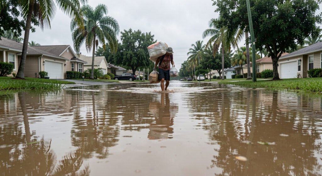
The 2026 season sits at an inflection point. The world is watching El Niño develop, and its effects ripple far beyond hurricane activity. The same El Niño that suppresses Atlantic hurricanes also shifts global rainfall patterns, intensifies heat waves, and threatens food security in vulnerable regions. A recent UN report warned that millions already facing hunger and displacement could soon face another major climate shock as extreme weather risks intensify.
For the hurricane season specifically, the message from forecasters is consistent: prepare the same way every year. NOAA Administrator Rick Spinrad emphasized during the May 21 briefing that “it only takes one storm to devastate a community.” The 2026 season has a lower probability of producing many storms, but the storms it does produce will form over abnormally warm water. That means any system that survives the wind shear could intensify rapidly, a phenomenon that has become more common in recent decades and is especially dangerous because it gives coastal residents less time to evacuate.
The National Hurricane Center’s cone of uncertainty has narrowed over the years, but rapid intensification remains one of the hardest challenges in tropical meteorology. A storm that jumps from a Category 1 to a Category 4 in 24 hours, as Hurricane Michael did in 2018, leaves emergency managers with almost no window to act.
| 2026 named storms forecast | 8 to 14 |
| 2026 hurricanes forecast | 3 to 6 |
| 2026 major hurricanes forecast | 1 to 3 |
| 30-year average named storms | 14 |
| 2026 season probability below-normal | 55% |
| Arthur peak wind speed | 45 mph |
Frequently Asked Questions
What does a “below-normal” hurricane season mean?
A below-normal season means fewer storms than the 30-year average of 14 named storms. NOAA’s 2026 forecast calls for 8 to 14 named storms, with a 55% probability of below-normal activity. But a single storm can be catastrophic, Hurricane Andrew devastated South Florida during the otherwise calm 1992 season.
How does El Niño affect 2026 hurricane predictions?
El Niño warms the eastern Pacific, strengthening upper-level winds over the Atlantic. These winds create vertical wind shear, tearing apart developing hurricanes before they organize. The 2026 El Niño is the primary reason forecasters predict fewer storms. Read our El Niño 2026 Ultimate Guide for the full picture.
Should I still prepare if the forecast is below-normal?
Yes. Seasonal forecasts are statistical outlooks, not guarantees. A single landfalling hurricane can cause catastrophic damage. Learn how to track hurricanes and visit ready.gov/hurricanes for preparation checklists.
What We Can Learn
Preparation is not about the seasonal forecast. It is about the individual storm that the forecast cannot predict.
For coastal residents, the checklist does not change: know your evacuation zone, stock supplies before June, keep documents accessible, and have a plan for pets and medications. For those living inland, the threat is different but real. Inland flooding from tropical systems kills more people in the United States than storm surge, and it can happen hundreds of miles from the coast. Hurricane Harvey (2017) dumped 60 inches of rain on Houston, a city 50 miles from the Gulf.
The lesson of the 2026 forecast is not that the coast can relax. It is that risk has never been more concentrated. Fewer storms, each potentially stronger, over warmer water, hitting more developed and more expensive coastlines. The math of disaster is changing. The need to prepare is not.
Buy batteries in May, not August. Know your zone before the watch is issued. The forecast tells you about the season. Your plan tells you about your survival.
If you live in a hurricane-prone area, visit ready.gov/hurricanes for preparation checklists, or download the FEMA app for real-time alerts. Hurricane season runs through November 30. Arthur was the beginning. The peak is still ahead.
Sources
- NOAA: 2026 Atlantic Hurricane Season Outlook (May 21, 2026)
- Colorado State University: Updated 2026 Hurricane Forecast (June 10, 2026)
- National Hurricane Center: Tropical Weather Outlook (June 29, 2026)
- UN News: Climate shocks accelerating as El Niño threat looms (June 2026)
- Insurance Information Institute: Florida Homeowners Premium Data