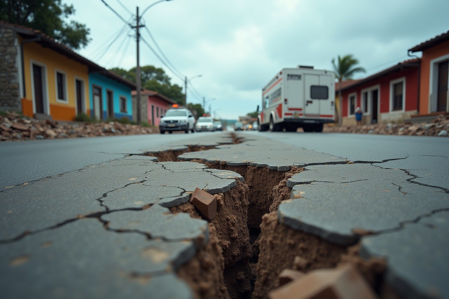
At 8:48 AM local time on Friday, July 17, 2026, the ground beneath southern Mexico snapped. A magnitude 7.3 earthquake struck off the coast of Chiapas, 58 kilometers (36 miles) from Puerto Madero. Within seconds, shaking rippled across four countries, from Mexico City’s skyscrapers to the volcanic highlands of Guatemala and as far south as El Salvador. The question everyone asked next was the same: how bad would this one be.
What Happened: A Major Quake Strikes the Chiapas Coast
The earthquake, centered in the Pacific Ocean at a depth of just 18.6 kilometers (11.5 miles), reached a magnitude of 7.3 according to the United States Geological Survey (USGS). Mexican authorities initially registered it at 7.4. The shallow depth meant seismic waves reached the surface with minimal energy loss, which is why millions of people felt the shaking across a vast geographic area. (earthquake.usgs.gov)
A tsunami alert was issued for coastal areas immediately after the quake, but the Pacific Tsunami Warning Center lifted it within hours after determining no destructive wave had been generated. Evacuations were ordered in coastal communities in Chiapas and Oaxaca as a precaution. Authorities in Mexico City did not activate the citywide seismic alarm, though many residents reported feeling the swaying motion in high-rise buildings.
The mainshock was followed by a vigorous aftershock sequence. The USGS reported at least 10 aftershocks ranging from magnitude 4.9 to 6.0 in the hours after the initial quake. The largest aftershock, a magnitude 6.0 at a depth of 10 kilometers, struck roughly 90 kilometers southwest of Puerto Madero about 30 minutes later. Aftershocks of this size and frequency keep communities on edge, making recovery efforts more difficult and raising the risk of damage to already-weakened structures. (earthquake.usgs.gov)
Why It Happened: The Cocos Plate and Mexico’s Tectonic Reality
Mexico sits at a geological crossroads where five tectonic plates meet: the Cocos, North American, Pacific, Caribbean, and Rivera plates. This earthquake occurred along the subduction zone where the Cocos plate slides beneath the North American plate and the Caribbean plate at a rate of roughly 6 to 7 centimeters per year. When the stress built up by that slow, relentless movement exceeds the friction holding the plates together, the rocks rupture, releasing enormous amounts of stored energy as seismic waves.
Subduction-zone earthquakes, the scientific term for quakes produced by one plate diving under another, are the most powerful class of earthquakes on Earth. The same tectonic process produced the 1985 Mexico City earthquake (magnitude 8.0) that killed an estimated 10,000 people and the 2017 Puebla earthquake (magnitude 7.1) that collapsed dozens of buildings and killed 370 people. This 2026 event, while large, released significantly less energy than the 1985 quake. On the logarithmic moment magnitude scale, each whole number represents roughly 32 times more energy released.
Think of it like a stuck drawer. The Cocos plate is pushing under Mexico, but it does not move smoothly. It catches, locks, and builds up pressure. Eventually the lock breaks, and the ground lurches forward, often by several meters, in a matter of seconds. That lurch is the earthquake. (www.usgs.gov)
How It Affects People: Four Countries, Millions of Lives Interrupted
The USGS PAGER system, which estimates the human impact of earthquakes, issued a Yellow alert for this event. A Yellow alert means some fatalities are possible and the economic impact is likely to be significant. At least 281 people submitted felt reports to the USGS within hours, a number that represents only a tiny fraction of the actual population that experienced the shaking. The earthquake was felt from Mexico City, population 22 million, to San Salvador, El Salvador, over 800 kilometers (500 miles) away.
Emergency response and evacuations: Coastal communities in Chiapas and Oaxaca evacuated to higher ground following the tsunami alert. Schools were temporarily closed in several municipalities while structural engineers assessed buildings for damage. The Mexican federal government activated its national emergency protocol, deploying civil protection teams and military personnel to the affected zone to conduct damage assessments.
Infrastructure and buildings: Structures in the affected region face two threats: the mainshock and the ongoing aftershocks. Buildings weakened by the initial shaking become more vulnerable with each subsequent tremor. In Tapachula, the largest city near the epicenter, and in coastal towns from Puerto Chiapas to the Guatemala border, inspectors began checking bridges, hospitals, schools, and older masonry buildings for structural damage. Mexico’s building codes, rewritten after the catastrophic 1985 earthquake, are among the strictest in the world, which likely prevented far worse outcomes.
Economic disruption: The Chiapas coast is a significant agricultural region, producing coffee, bananas, mangoes, and palm oil. Port operations at Puerto Chiapas were temporarily suspended, affecting regional trade. The earthquake also disrupted travel along the Pan-American Highway, a critical transportation corridor linking Mexico to Central America. Tourism in the region, still recovering from previous natural events, faces new cancellations during what is normally the summer travel season. (www.deseret.com)
Mental health and community stress: For millions of people across four countries, the earthquake was a visceral reminder of the ground’s unpredictability. In Mexico, where collective memory still carries the trauma of September 19, 1985, and September 19, 2017, both of which struck on the same calendar date 32 years apart, any major earthquake triggers immediate fear. The psychological impact of recurrent seismic events, what researchers call disaster fatigue, compounds over time and affects communities long after the physical shaking stops.
Why It Matters Now: A Region Living With Risk
Friday’s earthquake is not an outlier. It is a reminder that the Central American subduction zone is one of the most seismically active regions on Earth. The USGS reports that since 1900, at least six earthquakes of magnitude 7.0 or greater have occurred within 250 kilometers of this event. The most recent comparable event was the September 2017 M8.2 Tehuantepec earthquake, which struck roughly 100 kilometers from Friday’s epicenter and killed at least 98 people.
What makes this particular earthquake noteworthy is its combination of high magnitude, shallow depth, and broad geographic impact without immediate mass casualties, a sign of Mexico’s improved seismic preparedness. But the PAGER Yellow alert is a serious warning: significant economic damage is likely. The full picture will emerge over the coming days as assessment teams reach more remote areas of the Chiapas and Oaxaca coasts. Communities in the Sierra Madre de Chiapas mountains, where access is limited and buildings are often constructed without modern seismic standards, may take longer to report damage.
What We Can Learn: Preparedness Saves Lives
Every major earthquake teaches the same lesson in slightly different terms: preparedness is the difference between a close call and a catastrophe. Mexico has invested heavily in seismic monitoring, early warning systems, and strict building codes since 1985, and that investment likely saved lives on Friday. The country’s SASMEX early warning system, which uses sensors along the coast to detect earthquakes and send alerts to Mexico City before the shaking arrives, gave residents precious seconds to evacuate, even though the capital was hundreds of kilometers from the epicenter.
For any community living in earthquake country, the practical takeaways are the same: know your evacuation routes, secure heavy furniture to walls, keep an emergency kit with water, food, and first aid supplies, and learn the drop, cover, and hold on protocol. Earthquakes cannot be predicted, but their damage can be reduced. The 2026 Chiapas earthquake, powerful as it was, appears to have been a demonstration of how preparation turns a potential disaster into a manageable event.
Key Facts at a Glance
- Magnitude: 7.3 (USGS), 7.4 (Mexican authorities)
- Location: 58 km WSW of Puerto Madero, Chiapas, Mexico
- Depth: 18.6 km (11.5 miles)
- Time: Friday, July 17, 2026, 08:48 local (14:48 UTC)
- Felt across: Mexico, Guatemala, Honduras, and El Salvador
- Aftershocks: 10+ between M4.9 and M6.0
- Tsunami: Alert issued, later lifted
- Casualties: None immediately reported
- USGS PAGER: Yellow alert (significant economic impact likely)