Every cloud you have ever seen, from the thinnest wisp of cirrus to the black anvil of a thunderstorm, began the same way: warm air rose, cooled, and let go of invisible water.
A cloud is visible water. Warm air rises, cools, and lets go of water vapor as tiny droplets or ice crystals clinging to dust particles. The shape and height of the cloud tell you what the atmosphere is doing: rising fast (cumulus), rising gently (stratus), or freezing at the top of the sky (cirrus).
- Clouds form when warm air carrying water vapor rises, cools, and condenses around microscopic particles called condensation nuclei
- Four core cloud shapes (cirrus, cumulus, stratus, nimbus) combine to form the ten basic types in the WMO International Cloud Atlas
- Cloud height is the main way to classify them: high clouds are ice crystals, mid clouds mix water and ice, low clouds are water droplets
- Different cloud types signal different weather: thickening cirrus warns of rain within 24 hours, a cumulonimbus anvil means a mature thunderstorm
A cloud is not a thing floating in the sky. It is a process. Water vapor moves from the ground into the air, hitches a ride upward on a thermal or a front, and condenses the moment the temperature drops enough. The process runs continuously across the planet and has done so for as long as Earth has had an atmosphere. Once you know the rules, you can look at any cloud and read the weather it is carrying.
How Clouds Form: The Simple Science
The recipe for a cloud has exactly three ingredients: water vapor, rising air, and something for the water to condense on. Clouds form when warm air rises and cools.
Water vapor enters the atmosphere through evaporation from oceans, lakes, rivers, and even plants. This is the invisible gas form of water. As long as the air can hold it, it stays invisible. But warm air rises, and when it does, the pressure drops and the air cools. Cooler air cannot hold as much water vapor.
At a certain altitude, the temperature reaches the dew point, the temperature at which water vapor condenses into liquid droplets. But there is a catch: water vapor needs a surface to condense on. Tiny particles floating in the air, dust, pollen, sea salt, and smoke, provide those surfaces. Meteorologists call these condensation nuclei. Without them, you would need air to be supersaturated before any cloud could form.
As air continues rising, more and more water vapor condenses onto these particles. The droplets grow but remain incredibly small, roughly one hundredth of a millimeter across, which is why clouds stay suspended. A typical cumulus cloud contains about 0.5 grams of liquid water per cubic meter. A large cumulonimbus cloud can hold enough water to fill hundreds of Olympic swimming pools.
There are four main mechanisms that lift air high enough to form clouds:
Surface heating. On sunny days, the ground warms the air directly above it. That air becomes less dense and rises, just like a hot air balloon. As it rises and cools, cumulus clouds form. This is the most common mechanism and explains why fair-weather cumulus appear in the late morning and dissolve by evening.
Mountains and terrain. When wind pushes air into the side of a mountain, the air has nowhere to go but up. As it climbs, it cools and condenses. This is why you often see clouds parked on mountain peaks while the surrounding valleys stay clear. Lenticular clouds, which look like smooth lenses, form this way.
Low pressure systems. Winds spiral inward toward the center of a low pressure area. When they meet, the only escape is upward. Entire cloud decks can form this way, stacking from the surface to the upper troposphere.
Weather fronts. When two different air masses collide, the warmer, lighter air is forced upward over the colder, denser air. Warm fronts produce broad decks of stratus and nimbostratus. Cold fronts push warm air up sharply, producing cumulus and cumulonimbus. This is the same mechanism that powers every major storm system, from mid-latitude cyclones to thunderstorms.
The Four Core Cloud Types
Before there were ten types, there were four. In 1803, an English pharmacist named Luke Howard published his Essay of the Modifications of Clouds, which became the foundation of modern cloud classification. Howard noticed that all clouds fell into three basic shapes, plus one special category for rain clouds.
Cirro-form (curl of hair): High, wispy, and made of ice crystals. These clouds appear white and delicate, carried by the winds at the top of the troposphere. They are the first clouds to appear ahead of an approaching storm system. Together with cumulus and stratus, this forms the foundation of all cloud classification: cirrus cumulus stratus, plus the rain-making nimbus.
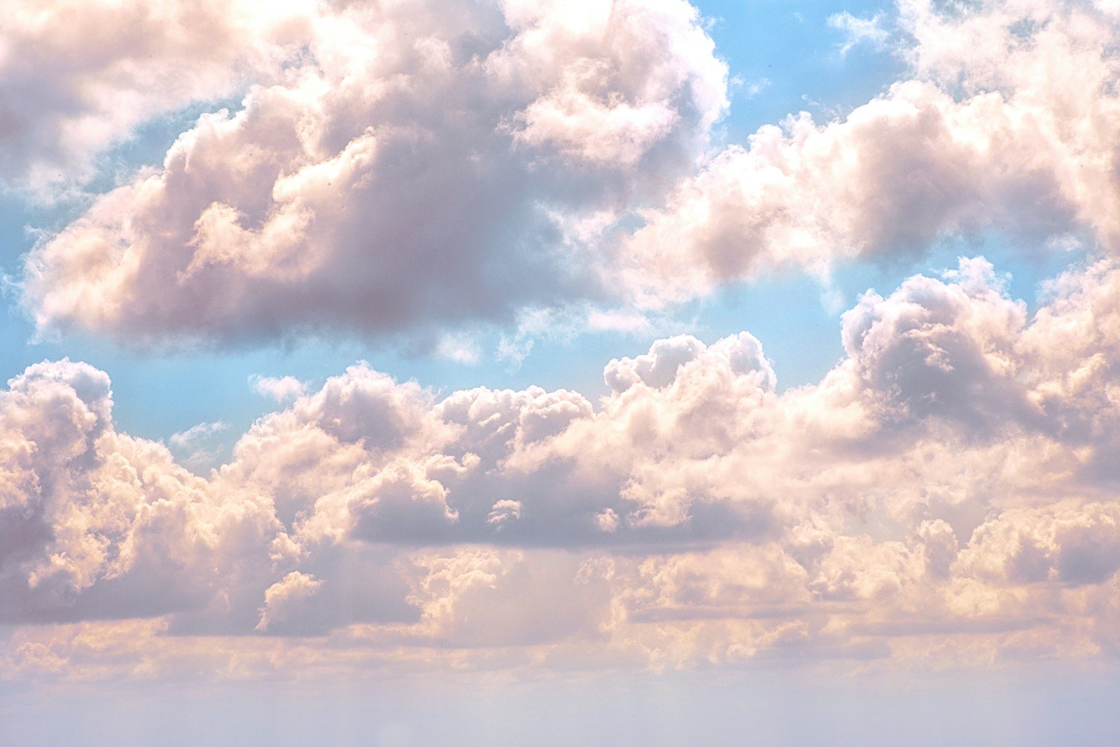
Cumulo-form (heap or pile): Detached, dense clouds with sharp outlines. They look like cotton balls or cauliflower and show that air is rising vertically. Flat bottoms mark the altitude where condensation begins.
Strato-form (layer): Broad, blanket-like sheets. These clouds spread horizontally rather than vertically and cover large portions of the sky. Their edges are diffuse rather than sharp.
Nimbo-form (rain): Howard’s special category for clouds that produce precipitation. The vast majority of rain and snow falls from nimbo-form clouds.
From these four building blocks, meteorologists combine terms to describe every cloud in the sky. Cirrostratus means a high, layered cloud. Altocumulus means a mid-level, puffy cloud. Nimbostratus means a layered rain cloud. This naming system produces the ten cloud types recognized worldwide.
The 10 Main Cloud Types (And What They Tell You)
The World Meteorological Organization maintains the International Cloud Atlas, the official worldwide standard for cloud classification. It divides the ten basic cloud types by the altitude of their bases: high, mid, and low. The three basic shapes, cirrus, cumulus, and stratus, combine at different heights to create the full classification system.
High Clouds (16,500 to 45,000 feet in temperate regions)
Made entirely of ice crystals. They do not produce precipitation that reaches the ground.
Cirrus: Thin, wispy, hair-like strands made of ice crystals. Often the first sign of an approaching warm front. When cirrus thickens and lowers, expect rain or snow within 24 hours. At sunrise and sunset, cirrus catches light first and glows pink or orange while lower clouds remain dark.
Cirrocumulus: Small, white patches arranged in ripples or grains, like fish scales. Sailors call this a mackerel sky. Cirrocumulus is short-lived and often forms alongside cirrus or cirrostratus.
Cirrostratus: A transparent, milky veil that can cover the entire sky. Its signature feature is a halo around the sun or moon, caused by light refracting through ice crystals. If you see a halo, cirrostratus is overhead, and rain or snow is likely within 12 to 24 hours.
Mid-Level Clouds (6,500 to 23,000 feet)
Composed mostly of water droplets, with ice crystals possible in cold conditions.
Altocumulus: White or gray patches arranged in rounded masses or rolls. When the sun or moon shines through a thin edge, a corona may appear, a colored ring with red on the outside and blue on the inside. Altocumulus on a warm, humid summer morning often signals thunderstorms by afternoon.
Altostratus: A gray or bluish sheet that partially or totally covers the sky. The sun appears through it as if behind frosted glass, with no distinct outline. No halo forms. Altostratus often precedes steady rain or snow.
Nimbostratus: A dark, thick, gray layer that blots out the sun entirely. This is the classic rain cloud. Precipitation falls steadily and can last for hours. The cloud base lowers as rain continues, and ragged shreds of cloud often hang beneath the main layer.
Low Clouds (surface to 6,500 feet)
Composed of water droplets. These are the clouds that interact most directly with daily life.
Cumulus: Detached, dense clouds with sharp outlines and flat bases. They look like cotton balls or cauliflower florets. Fair-weather cumulus forms on sunny days and dissolves by evening. When cumulus grows taller than it is wide, it is building toward something bigger.
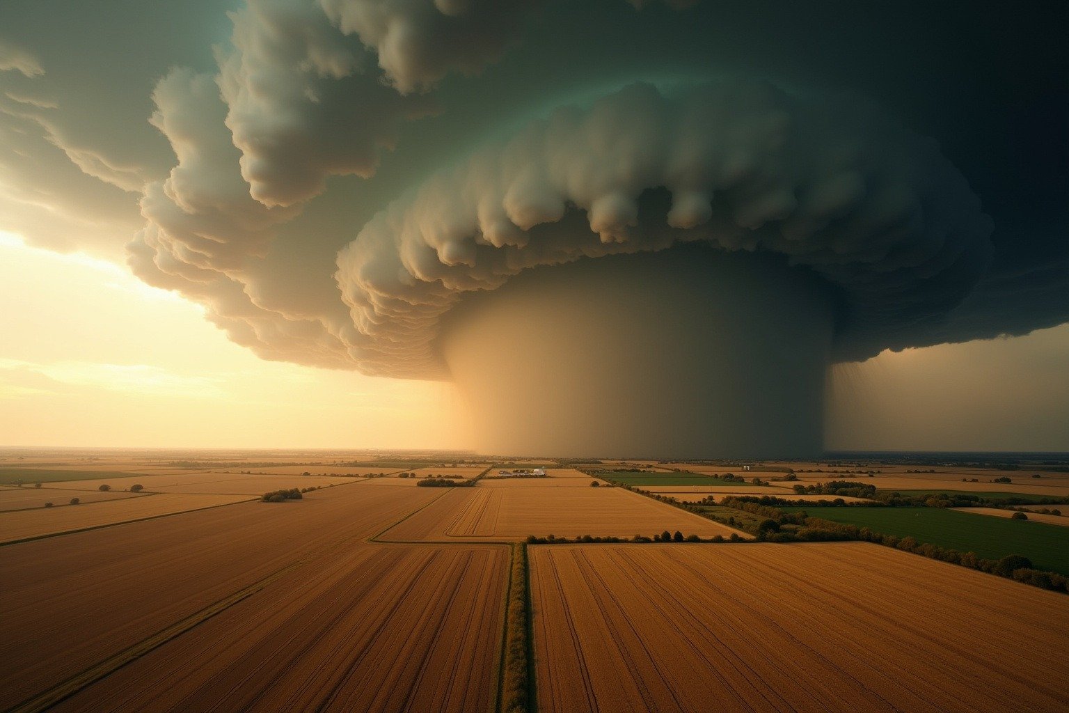
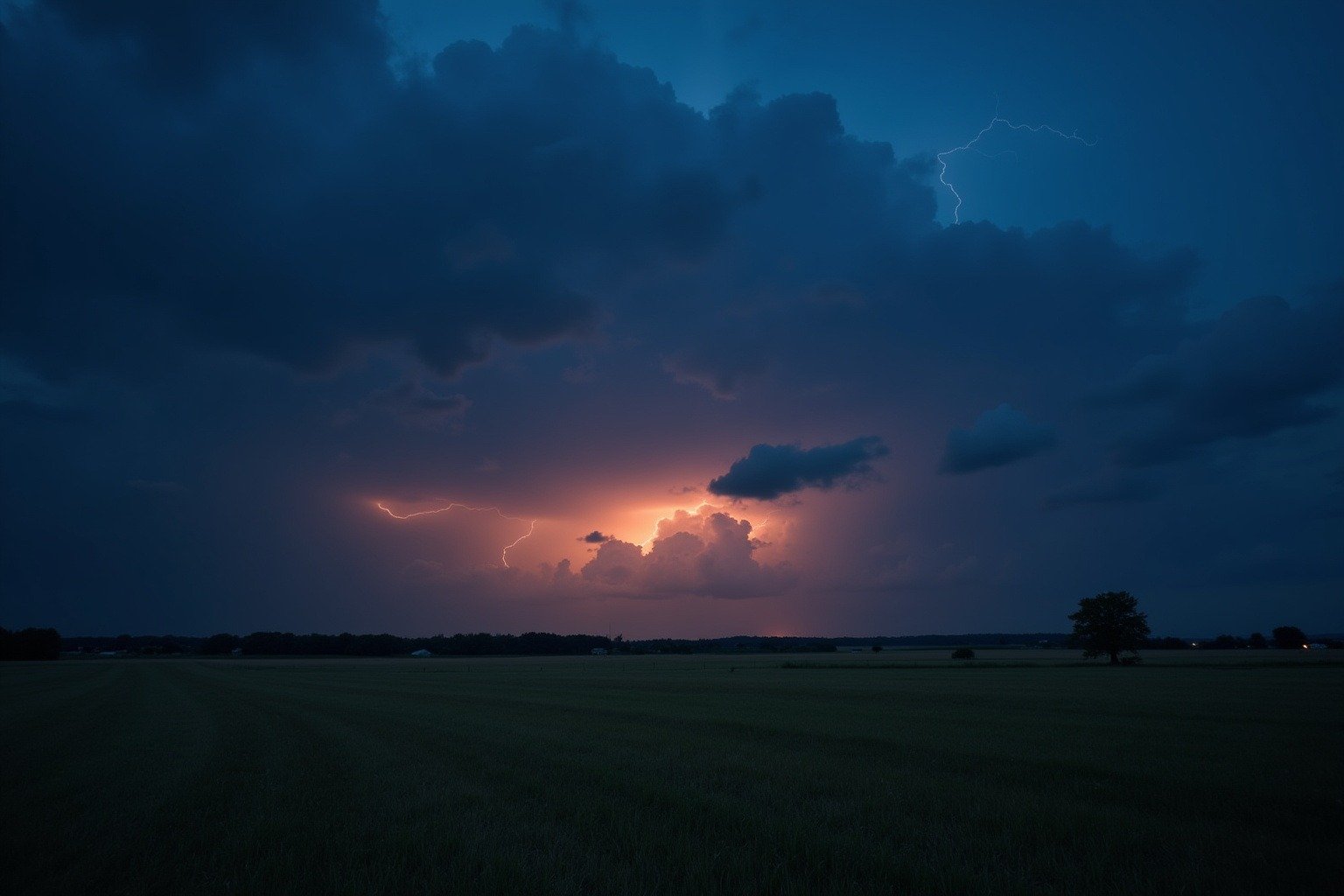
Cumulonimbus: The thunderstorm cloud. A heavy, dense tower that can stretch from near the surface to the top of the troposphere, 50,000 feet or higher. The top flattens into an anvil shape as it hits the stable air of the tropopause. Cumulonimbus produces lightning, thunder, heavy rain, hail, and sometimes tornadoes. When you see an anvil spreading across the sky, the storm has reached its mature stage. Of all the types of clouds, cumulonimbus is the most dangerous for aviation.
Stratocumulus: Gray or whitish patches arranged in rounded masses or rolling waves. Often described as a lumpy blanket or honeycomb pattern. Stratocumulus rarely produces more than light drizzle. It is the most common cloud type globally, especially over oceans.
Stratus: A uniform gray layer resembling fog that does not reach the ground. When thick enough, stratus produces drizzle or light snow. Its edges are diffuse, and no halo appears. Morning stratus often burns off by afternoon as the sun warms the surface.
How Clouds Affect People
Clouds are not just scenery. They shape decisions across every layer of daily life.
Aviation. Pilots file flight plans around cumulonimbus, whose updrafts can tear an aircraft apart. Cirrus forecasts guide transatlantic fuel loads. Low stratus can close an airport for hours.
Agriculture. Farmers read cloud types to decide when to harvest, irrigate, or spray. A thickening altostratus layer means rain is coming. Persistent stratocumulus keeps soil temperatures down and slows crop growth.
Energy. Solar farms lose up to 80 percent of their output under thick cloud cover. Cloud forecasting now drives billion-dollar decisions on energy grid management. A single misjudged cloud bank can trigger a grid instability event.
Outdoor events and travel. Clouds are the most consulted weather feature by event planners, wedding parties, and travelers. The difference between scattered cumulus and overcast stratus is the difference between a successful outdoor event and a canceled one.
Mental health. Multiple studies have linked persistent overcast conditions to lower mood and higher rates of seasonal affective disorder. A stretch of gray stratus can affect an entire region’s mental well-being. Meteorologists in places like Seattle and London track “sun minutes” as a public health metric.
Why It Matters Now
Climate change is altering the clouds themselves. Warmer air holds more water vapor, about 7 percent more for every degree Celsius of warming. This means the same cumulonimbus that once dropped an inch of rain now drops more. It also means cirrus clouds may be thinning in some regions, reducing their heat-trapping effect, while low marine stratus may be thickening in others. Understanding how weather fronts interact with a wetter atmosphere is becoming critical for flood forecasting.
Scientists track these changes through a network of satellites, ground-based ceilometers, and citizen science programs. The picture is still emerging, but one thing is clear: the clouds you see today are not the same clouds your grandparents saw, and the changes matter for everything from flood forecasting to crop insurance.
At the same time, clouds remain one of the most accessible entry points to weather literacy. You do not need a barometer or a weather app to read the sky. You just need to know what you are looking at.
What You Can Learn
Every cloud is a visible sign of invisible forces. Rising air, cooling temperatures, condensing water, and the constant churn of the atmosphere all write their signatures across the sky. The same physics that builds a fair-weather cumulus on a July afternoon builds the anvil of a supercell thunderstorm. Only the scale changes.
The sky puts on a show every day. Learning the names and the rules does not make it less beautiful. It makes it legible.
Frequently Asked Questions About Clouds
Can clouds form without dust or particles in the air?
No. Water vapor needs a surface to condense on. Tiny particles called condensation nuclei, dust, pollen, sea salt, smoke, and pollution, provide those surfaces. Without them, the air would need to be extremely supersaturated before any cloud could form. This is why clouds are more common over land (where more particles exist) than over the open ocean.
Why are some clouds white and others gray?
Cloud color depends on how sunlight interacts with the water droplets inside. White clouds have droplets that scatter all wavelengths of sunlight equally, making them appear bright. Gray clouds are thicker and denser, so less sunlight penetrates through to the bottom. The base of a very thick cloud like nimbostratus appears dark gray because light cannot reach it.
What is the rarest cloud type?
Nacreous clouds, also known as polar stratospheric clouds, are among the rarest. They form at altitudes of 49,000 to 80,000 feet in the polar stratosphere during winter, when temperatures drop below minus 108 degrees Fahrenheit. Their iridescent colors come from sunlight diffracting through tiny ice crystals. Noctilucent clouds, at the edge of space around 50 miles up, are even rarer.
Do clouds weigh anything?
Yes, and the answer surprises most people. A typical fair-weather cumulus cloud weighs about 500 tons , roughly the weight of 100 elephants. A large cumulonimbus cloud can hold hundreds of thousands of tons of water. Clouds stay suspended because the water is distributed as microscopic droplets, each one tiny enough that gravity pulls on it very slowly, and even the gentlest updraft keeps them aloft.
Why do clouds stop growing at a certain height?
Clouds stop growing when they hit a stable layer of air called the tropopause, the boundary between the troposphere and the stratosphere. This is why thunderstorm anvils form: the rising air hits the tropopause and cannot go higher, so it spreads sideways. The height of the tropopause varies from about 28,000 feet at the poles to 56,000 feet at the equator.