You cannot see it, but you can feel it on your face, watch it bend trees, and hear it howl through windows. Wind is the atmosphere breathing. And once you understand how wind works, you start to see every breeze as part of a global machine.
Wind is simply air in motion. When meteorologists talk about wind, they mean the horizontal movement of air: how fast it is moving and which direction it is coming from. A west wind at 15 miles per hour means air is traveling FROM the west at that speed.
In Simple Terms
Wind is air moving from high pressure to low pressure. The sun heats the Earth unevenly, creating these pressure differences. Three forces steer the wind: the pressure gradient (pushes air), the Coriolis effect (curves it), and friction (slows it near the ground). Understanding how wind works connects every breeze, gust, and hurricane to the same basic physics.
Quick Summary
- Wind exists because the sun heats the Earth unevenly, creating pressure differences that air moves to balance
- Three forces govern all wind: pressure gradient force, the Coriolis effect, and friction
- The Coriolis effect explains why hurricanes spin counter-clockwise in the Northern Hemisphere and clockwise in the Southern Hemisphere
- Wind patterns are changing as the Arctic warms, weakening the jet stream and stalling weather systems
- Wind energy now powers more than 10 percent of US electricity, converting the pressure gradient force into power for homes
How Wind Works: Temperature, Pressure, and What Causes Wind
The short answer: the sun heats the Earth unevenly. That single sentence contains the entire origin story of every breeze, gust, gale, and hurricane you will ever experience.
When sunlight strikes the planet, it does not warm everything equally. The equator receives direct, concentrated sunlight while the poles get angled, spread-out rays. Dark ocean water absorbs heat differently than bright snow.
A concrete city traps warmth while a forest releases moisture that cools the air above it.
These temperature differences create pressure differences, and this is where how wind works becomes visible.
Warm air expands, becomes less dense, and rises, leaving behind a region of lower pressure at the surface. Cold air contracts, becomes denser, and sinks, creating a region of higher pressure. Air moves from high to low pressure, the same way water flows downhill: that movement of air is wind.
The bigger the pressure difference between two places, the faster the wind blows. This difference is called the pressure gradient, and wind speed is directly proportional to it.
When you see weather maps with tightly packed isobars (lines of equal pressure), those areas will have strong winds. Widely spaced isobars mean light winds and calm conditions.
The Three Forces That Steer Every Gust
If the pressure gradient were the only force at work, wind would blow straight from high pressure to low pressure in a simple, direct line. But Earth spins, and the ground is rough. Two additional forces reshape every moving air parcel.
The Coriolis effect is the reason wind curves instead of moving in straight lines and a big part of the answer to why does wind blow the way it does. Because Earth rotates, air traveling across long distances appears to bend. In the Northern Hemisphere, the Coriolis effect wind deflection goes to the right.
In the Southern Hemisphere, it deflects air to the left. This is exactly why hurricanes spin the way they do, and why hurricanes spin counterclockwise north of the equator but clockwise south of it.
Friction is the third force. Near the ground, wind scrapes against mountains, buildings, forests, and even ocean waves. This friction slows the wind and redirects it, causing air to spiral into low-pressure systems and spiral out of high-pressure systems. Surface winds cross isobars at an angle while winds higher up, above the friction layer, blow nearly parallel to them.
Together, these three forces, pressure gradient, Coriolis, and friction, drive the global wind patterns that shape weather on every continent.
Wind is the planet’s way of saying the pressure is not equal. Every breeze is a message about where the sun has been.
How Wind Affects People
Wind shapes daily life in ways most people never stop to notice.
Aviation. Pilots plan flight paths around prevailing winds. A jet stream tailwind can cut an hour off a transatlantic flight. A headwind can force an unplanned fuel stop. Flight routes are never straight lines on a map, they curve with the rotating Earth beneath them.
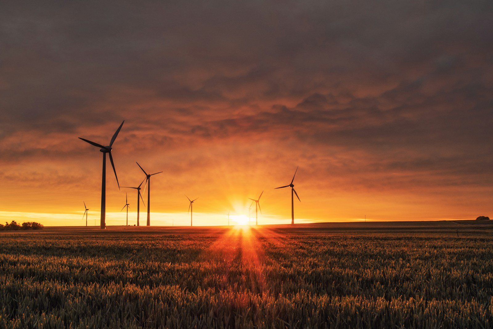
Energy. A single modern wind turbine can power roughly 500 homes. Wind farms now generate more than 10 percent of US electricity, and that number climbs every year. Every kilowatt traces back to the same pressure gradient force that rustles leaves on a sidewalk.
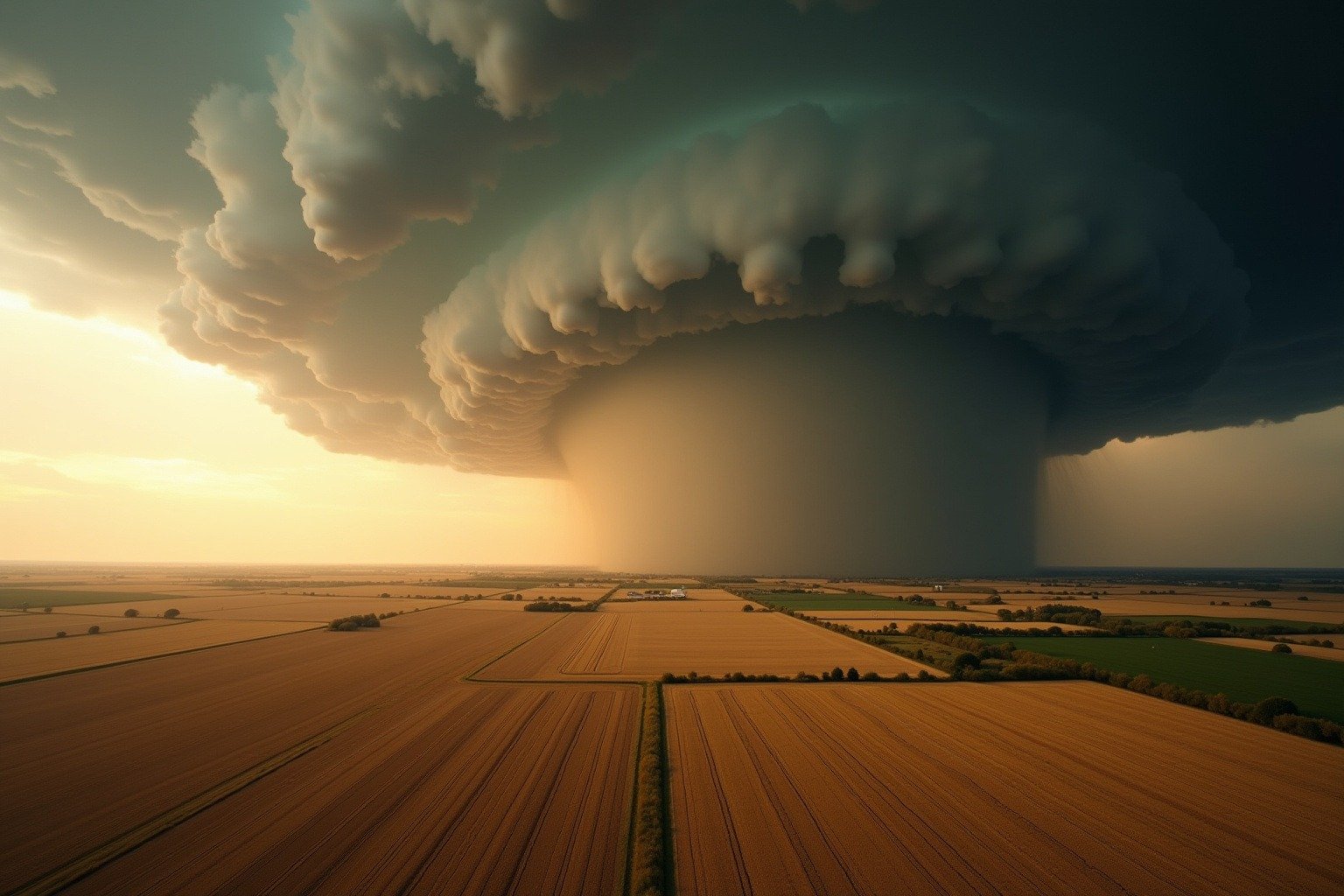
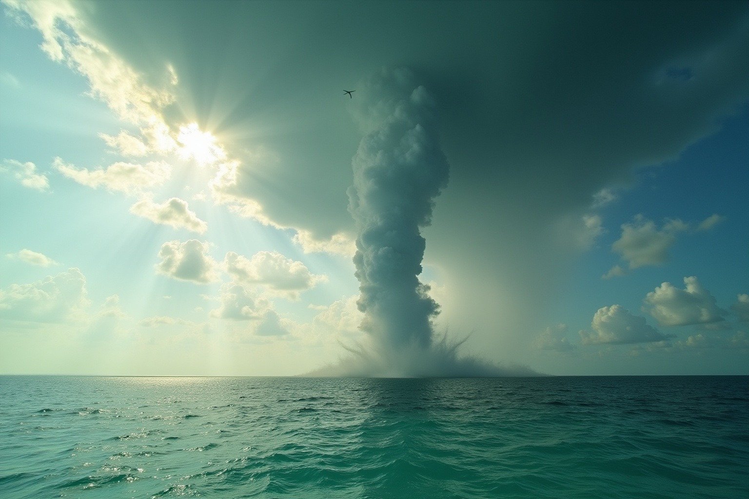
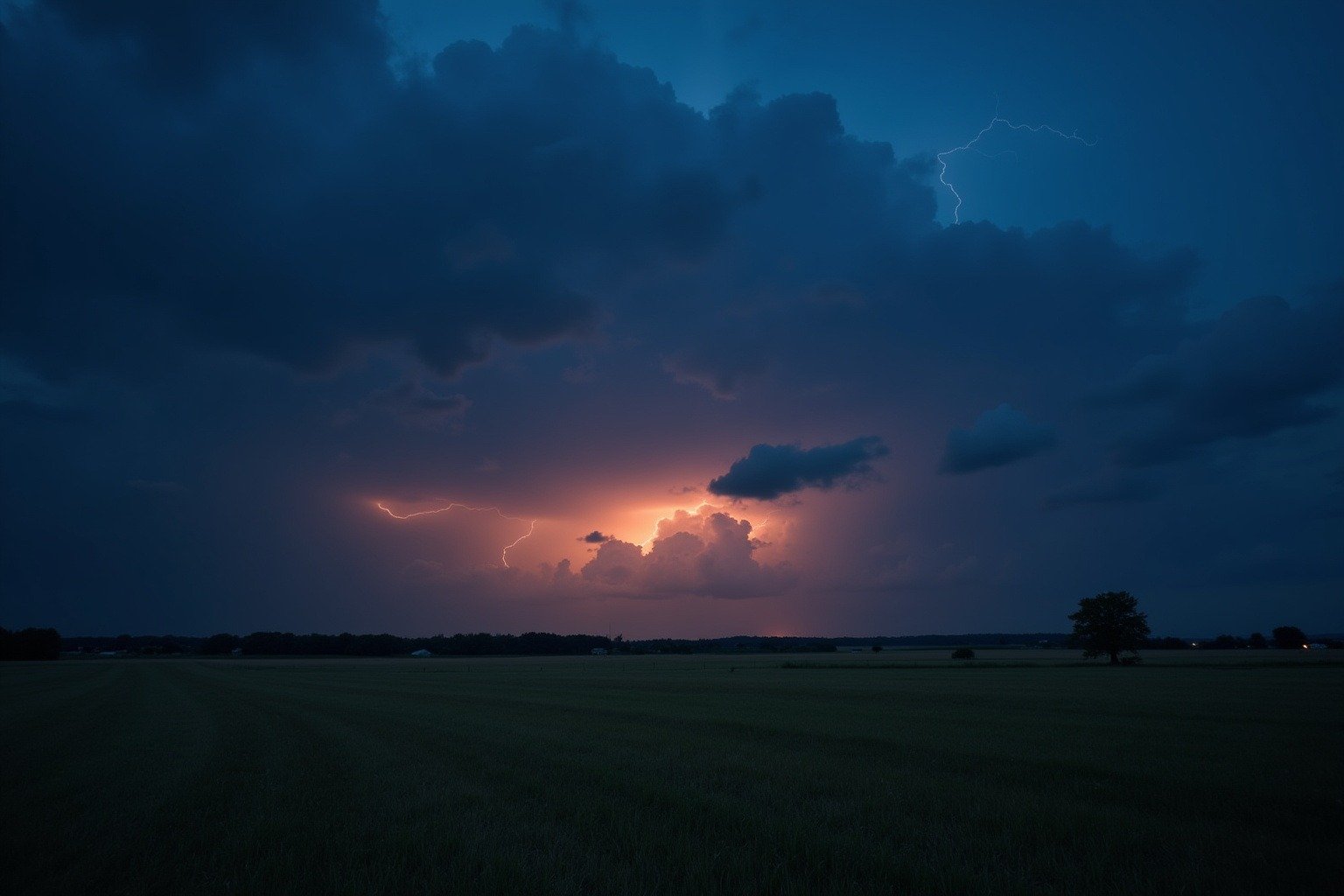
Storms. When a pressure gradient sharpens fast, wind becomes destructive. Thunderstorm winds can exceed 100 miles per hour, snapping power poles and peeling roofs. Hurricane-force winds, sustained above 74 miles per hour, can level coastal communities. Understanding wind structure helps forecasters predict which neighborhoods will take the hardest hit.
Farming. Farmers have read wind for centuries. A sudden shift in wind direction signals an approaching cold front. Windbreaks, rows of trees planted along field edges, reduce soil erosion and protect crops.
Wildlife. Birds ride thermals, rising columns of warm air, to migrate thousands of miles without flapping. Monarch butterflies depend on tailwinds to complete their multi-generational journey to Mexico.

Key Wind Facts
| Primary cause of wind | Uneven solar heating of Earth’s surface | NOAA |
| Three governing forces | Pressure gradient, Coriolis effect, friction | NOAA |
| Coriolis deflection (Northern Hemisphere) | To the right | National Geographic |
| Coriolis deflection (Southern Hemisphere) | To the left | National Geographic |
| US electricity from wind | More than 10% | EIA |
| Hurricane-force wind threshold | 74 mph (119 km/h) sustained | NWS |
Why It Matters Now
Wind patterns are changing. As the Arctic warms roughly four times faster than the global average, the temperature difference between the equator and the pole shrinks. That temperature gradient is what drives the jet stream. El Niño and La Niña, the Pacific’s alternating warm and cool phases, push and pull on the same circulation, which our El Niño complete guide walks through step by step.
A weaker jet stream meanders more, stalling weather systems in place. A storm that used to pass through in a day now sits for a week.
A heat dome parks over a city and refuses to move. The physics that explained wind to sailors 500 years ago now helps climate scientists project what happens when the gradients shift.
The three forces have not changed. The heat that powers them has.
What We Can Learn
Wind is not random. Every gust reports on temperature somewhere else, pressure building somewhere else, the spin of a planet that never stops turning.
When you feel a cold front gust through on a summer afternoon, you are feeling the leading edge of a high-pressure system, dense cold air bulldozing into warmer air and forcing it upward. When you watch wind turbines spin on a ridge line, you are watching the pressure gradient force converted into electricity. When a hurricane spiral fills your television screen, you are watching the Coriolis force and pressure gradient locked in a rotating dance.
The atmosphere is a single connected fluid. Wind is how it communicates.
Frequently Asked Questions About Wind
Where does wind start?
Wind starts wherever the sun heats the Earth unevenly. When sunlight warms one area more than another, the warmer air expands, becomes less dense, and rises, creating a region of lower pressure. Cooler, denser air then rushes in to fill the gap, that movement is wind.. Every gust, from the lightest breeze to hurricane-force winds, traces back to this same physics, as explained by NOAA’s NESDIS education division.: temperature differences create pressure differences, and air moves to balance them.
What causes wind to blow?
Wind blows because of differences in atmospheric pressure. Three forces govern every moving air parcel: the pressure gradient force (pushes air from high to low pressure), the Coriolis effect (bends the air’s path due to Earth’s rotation), and friction (slows wind near the ground). In the Northern Hemisphere, the Coriolis effect deflects moving air to the right; in the Southern Hemisphere, to the left. This is why wind never moves in perfectly straight lines and why large storm systems rotate.
How fast does wind have to be to become a hurricane?
Wind must sustain speeds of 74 miles per hour (119 kilometers per hour) for a tropical storm to be classified as a hurricane. Below that threshold, the system is called a tropical storm (39-73 mph). The Saffir-Simpson scale then rates hurricanes from Category 1 (74-95 mph) to Category 5 (157 mph or higher). The pressure gradient sharpens as the storm intensifies, driving faster winds around the low-pressure center.
Does wind ever stop blowing?
Wind never truly stops anywhere on Earth because the sun always heats some part of the planet. Even on the calmest day, air molecules are still moving. What we call “calm” or “windless” conditions simply means the pressure gradient is too weak to produce noticeable horizontal air movement, typically less than 1-2 miles per hour at ground level. Higher up, the jet stream is always flowing at speeds of 100-200 mph..
Why is wind stronger in some places than others?
Wind speed depends on the pressure gradient, how quickly pressure changes over a given distance. Tightly packed isobars on a weather map mean a steep gradient and strong winds. Geography also plays a role: mountaintops, coastlines, and open plains experience stronger winds than sheltered valleys or dense forests because friction varies. The same pressure gradient produces faster wind over open water than over a city with tall buildings that create drag.